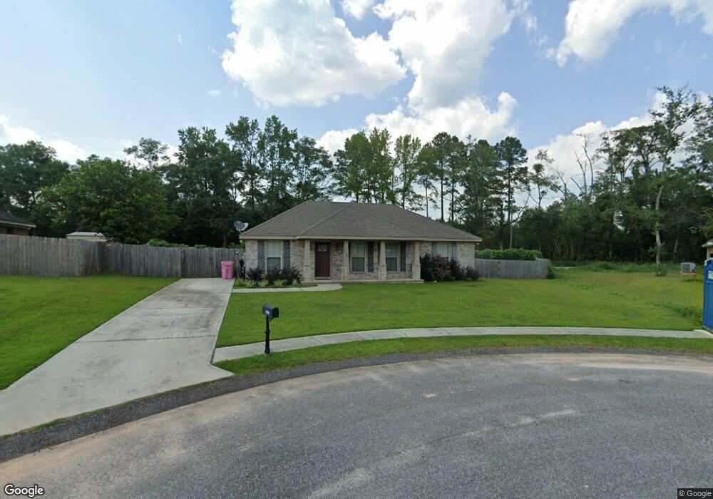
2104 Wolf Branch Dr N Unit 75 Mobile, AL 36608
Outer West Mobile NeighborhoodEstimated Value: $217,000 - $244,000
--
Bed
--
Bath
1,269
Sq Ft
$180/Sq Ft
Est. Value
About This Home
This home is located at 2104 Wolf Branch Dr N Unit 75, Mobile, AL 36608 and is currently estimated at $228,163, approximately $179 per square foot. 2104 Wolf Branch Dr N Unit 75 is a home located in Mobile County with nearby schools including Taylor White Elementary School, Bernice J Causey Middle School, and Baker High School.
Ownership History
Date
Name
Owned For
Owner Type
Purchase Details
Closed on
Jul 8, 2021
Sold by
Smith Kayla M and Oglesby Kayla M
Bought by
1702 Investments Llc
Current Estimated Value
Purchase Details
Closed on
May 27, 2015
Sold by
Mark Swanson Builders Inc
Bought by
Oglesby Kayla M
Home Financials for this Owner
Home Financials are based on the most recent Mortgage that was taken out on this home.
Original Mortgage
$132,244
Interest Rate
3.79%
Mortgage Type
New Conventional
Purchase Details
Closed on
Feb 20, 2015
Sold by
Mp Properties Llc
Bought by
Mark Swanson Builders Inc
Create a Home Valuation Report for This Property
The Home Valuation Report is an in-depth analysis detailing your home's value as well as a comparison with similar homes in the area
Home Values in the Area
Average Home Value in this Area
Purchase History
| Date | Buyer | Sale Price | Title Company |
|---|---|---|---|
| 1702 Investments Llc | $158,000 | None Available | |
| Oglesby Kayla M | $129,600 | Surety Land Title | |
| Mark Swanson Builders Inc | $18,000 | None Available |
Source: Public Records
Mortgage History
| Date | Status | Borrower | Loan Amount |
|---|---|---|---|
| Previous Owner | Oglesby Kayla M | $132,244 |
Source: Public Records
Tax History Compared to Growth
Tax History
| Year | Tax Paid | Tax Assessment Tax Assessment Total Assessment is a certain percentage of the fair market value that is determined by local assessors to be the total taxable value of land and additions on the property. | Land | Improvement |
|---|---|---|---|---|
| 2024 | $1,768 | $35,020 | $8,000 | $27,020 |
| 2023 | $1,768 | $31,460 | $7,200 | $24,260 |
| 2022 | $1,368 | $28,200 | $5,980 | $22,220 |
| 2021 | $1,195 | $24,640 | $5,200 | $19,440 |
| 2020 | $1,206 | $24,860 | $5,200 | $19,660 |
| 2019 | $1,177 | $24,260 | $5,200 | $19,060 |
| 2018 | $1,077 | $22,200 | $0 | $0 |
| 2017 | $550 | $11,280 | $0 | $0 |
| 2016 | $485 | $11,380 | $0 | $0 |
| 2013 | $150 | $3,100 | $0 | $0 |
Source: Public Records
Map
Nearby Homes
- 11920 Ives Ln
- 12171 Yancey Glen Dr
- 2760 Wildflower Dr W
- 0 Busby Rd
- The Kingston Plan at Coxwell Crossing
- 2814 Plan at Highland Pointe
- 2508 Plan at Highland Pointe
- 3000 Plan at Highland Pointe
- 2831 Plan at Highland Pointe
- 2300 Plan at Highland Pointe
- 2557 Plan at Highland Pointe
- 2320 Plan at Highland Pointe
- 1930 Plan at Highland Pointe
- 2202-0 Plan at Highland Pointe
- 1825 Plan at Highland Pointe
- The Avery Plan at Coxwell Crossing
- The Mckenzie Plan at Coxwell Crossing
- 2029 Plan at Pines of Dawes
- 1425 Plan at Pines of Dawes
- 1525 Plan at Pines of Dawes
- 2104 Wolf Branch Dr N
- 2118 Wolf Branch Dr N Unit 74
- 2118 Wolf Branch Dr N
- 2090 Wolf Branch Dr N
- 2143 Lumpkin Grove Ln
- 2091 Wolf Branch Dr N
- 2099 Wolf Branch Dr N
- 2115 Wolf Branch Dr N Unit 80
- 2115 Wolf Branch Dr N
- 2127 Lumpkin Grove Ln
- 2123 Wolf Branch Dr N
- 2131 Wolf Branch Dr N Unit 82
- 2131 Wolf Branch Dr N
- 2119 Lumpkin Grove Ln Unit 2
- 2137 Wolf Branch Dr N Unit 83
- 2137 Wolf Branch Dr N
- 2144 Wolf Branch Dr N
- 2144 Lumpkin Grove Ln
- 2144 Wolf Branch Dr N
- 2120 Lumpkin Grove Ln