Estimated Value: $639,387 - $869,000
2
Beds
2
Baths
1,955
Sq Ft
$380/Sq Ft
Est. Value
About This Home
This home is located at 21040 SE Firwood Rd, Sandy, OR 97055 and is currently estimated at $743,347, approximately $380 per square foot. 21040 SE Firwood Rd is a home located in Clackamas County with nearby schools including Firwood Elementary School, Cedar Ridge Middle School, and Sandy High School.
Ownership History
Date
Name
Owned For
Owner Type
Purchase Details
Closed on
Aug 25, 2003
Sold by
Tanner Robert E and Tanner Larraine A
Bought by
Tanner Robert E and Tanner Larraine A
Current Estimated Value
Home Financials for this Owner
Home Financials are based on the most recent Mortgage that was taken out on this home.
Original Mortgage
$151,500
Outstanding Balance
$66,058
Interest Rate
5.6%
Mortgage Type
Unknown
Estimated Equity
$677,289
Purchase Details
Closed on
Dec 1, 1985
Bought by
Tanner Robert E
Create a Home Valuation Report for This Property
The Home Valuation Report is an in-depth analysis detailing your home's value as well as a comparison with similar homes in the area
Home Values in the Area
Average Home Value in this Area
Purchase History
| Date | Buyer | Sale Price | Title Company |
|---|---|---|---|
| Tanner Robert E | -- | First American | |
| Tanner Robert E | $76,500 | -- |
Source: Public Records
Mortgage History
| Date | Status | Borrower | Loan Amount |
|---|---|---|---|
| Open | Tanner Robert E | $151,500 |
Source: Public Records
Tax History Compared to Growth
Tax History
| Year | Tax Paid | Tax Assessment Tax Assessment Total Assessment is a certain percentage of the fair market value that is determined by local assessors to be the total taxable value of land and additions on the property. | Land | Improvement |
|---|---|---|---|---|
| 2025 | $4,505 | $325,215 | -- | -- |
| 2024 | $4,292 | $315,743 | -- | -- |
| 2023 | $4,292 | $306,547 | $0 | $0 |
| 2022 | $4,074 | $297,619 | $0 | $0 |
| 2021 | $3,931 | $288,951 | $0 | $0 |
| 2020 | $3,828 | $280,535 | $0 | $0 |
| 2019 | $3,812 | $272,365 | $0 | $0 |
| 2018 | $3,708 | $264,432 | $0 | $0 |
| 2017 | $3,625 | $256,730 | $0 | $0 |
| 2016 | $3,497 | $249,252 | $0 | $0 |
| 2015 | $3,401 | $241,992 | $0 | $0 |
| 2014 | $3,316 | $234,944 | $0 | $0 |
Source: Public Records
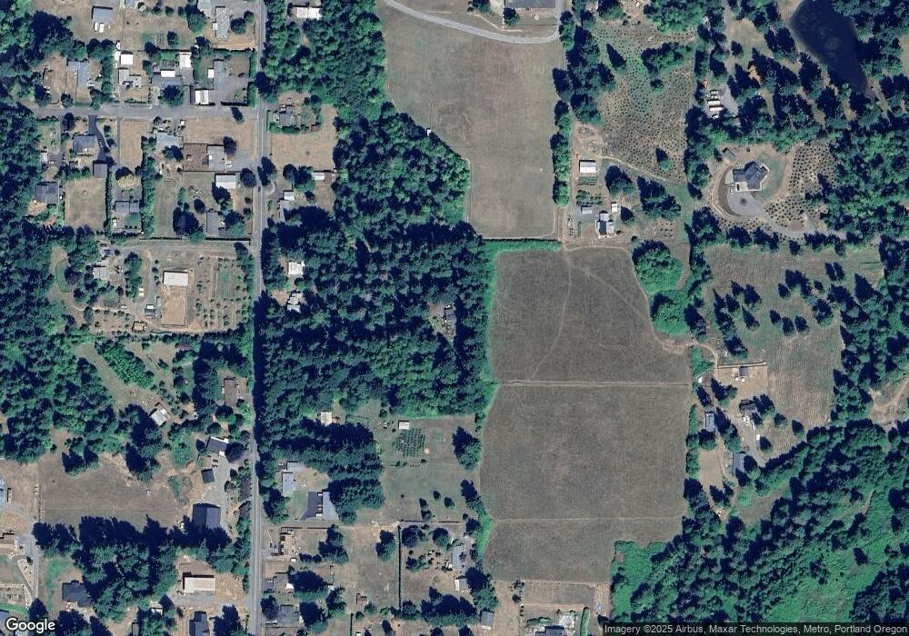
Map
Nearby Homes
- 21385 SE Firwood Rd
- 20671 SE Greenleaf Dr
- 43940 SE Music Camp Rd
- 22035 SE Firwood Rd
- 42125 SE Luzon Ln
- The Brightwood Plan at Hoodview Heights
- The Rock Creek Plan at Hoodview Heights
- 41800 Deschutes Ave Unit 86A
- The Hoodland Plan at Hoodview Heights
- 19025 Ochoco Ct Unit 67
- 18855 Crooked River St Unit 41
- 18905 Crooked River St Unit 46
- 41865 Deschutes Ave Unit 61
- 18935 Crooked River St Unit 49
- 41855 Deschutes Ave Unit 60
- The Cedar Creek Plan at Hoodview Heights
- 41820 Deschutes Ave Unit Lot 85B
- The Wildcat Plan at Hoodview Heights
- 19100 Ochoco Ct Unit Lot 70
- 41900 Deschutes Ave Unit 81B
- 21050 SE Firwood Rd
- 21160 SE Firwood Rd
- 20880 SE Firwood Rd
- 20930 SE Firwood Rd
- 43050 SE Trubel Rd
- 21300 SE Firwood Rd
- 20991 SE Firwood Rd
- 21312 SE Firwood Rd
- 20909 SE Firwood Rd
- 21281 SE Firwood Rd
- 21025 SE Firwood Rd
- 21330 SE Firwood Rd
- 20831 SE Firwood Rd
- 21151 SE Firwood Rd
- 42580 SE Erickson Rd
- 21360 SE Firwood Rd
- 42530 SE Erickson Rd
- 42575 SE Erickson Rd
- 20747 SE Firwood Rd
- 21414 SE Firwood Rd