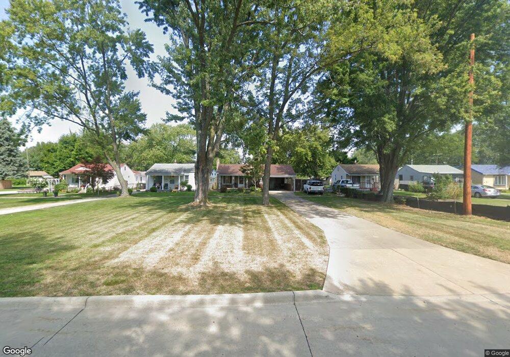
21042 Pinecrest St Taylor, MI 48180
Estimated Value: $163,862 - $181,000
3
Beds
1
Bath
1,088
Sq Ft
$160/Sq Ft
Est. Value
About This Home
This home is located at 21042 Pinecrest St, Taylor, MI 48180 and is currently estimated at $173,716, approximately $159 per square foot. 21042 Pinecrest St is a home located in Wayne County with nearby schools including Taylor Parks Elementary School and Robert J. West Middle School.
Ownership History
Date
Name
Owned For
Owner Type
Purchase Details
Closed on
May 12, 2009
Sold by
Citimortgage Inc
Bought by
Federal National Mortgage Association
Current Estimated Value
Purchase Details
Closed on
May 7, 2009
Sold by
Davidson Gary W
Bought by
Citimortgage Inc
Purchase Details
Closed on
May 2, 2003
Sold by
Davidson Rosalind L
Bought by
Davidson Gary W
Home Financials for this Owner
Home Financials are based on the most recent Mortgage that was taken out on this home.
Original Mortgage
$80,000
Interest Rate
5.4%
Mortgage Type
Purchase Money Mortgage
Create a Home Valuation Report for This Property
The Home Valuation Report is an in-depth analysis detailing your home's value as well as a comparison with similar homes in the area
Home Values in the Area
Average Home Value in this Area
Purchase History
| Date | Buyer | Sale Price | Title Company |
|---|---|---|---|
| Federal National Mortgage Association | -- | None Available | |
| Citimortgage Inc | $64,902 | None Available | |
| Davidson Gary W | -- | Metropolitan Title Company |
Source: Public Records
Mortgage History
| Date | Status | Borrower | Loan Amount |
|---|---|---|---|
| Previous Owner | Davidson Gary W | $80,000 |
Source: Public Records
Tax History
| Year | Tax Paid | Tax Assessment Tax Assessment Total Assessment is a certain percentage of the fair market value that is determined by local assessors to be the total taxable value of land and additions on the property. | Land | Improvement |
|---|---|---|---|---|
| 2025 | $2,558 | $84,000 | $0 | $0 |
| 2024 | $2,484 | $73,900 | $0 | $0 |
| 2023 | $2,795 | $62,400 | $0 | $0 |
| 2022 | $2,337 | $56,200 | $0 | $0 |
| 2021 | $2,496 | $52,700 | $0 | $0 |
| 2020 | $2,372 | $46,200 | $0 | $0 |
| 2019 | $236,039 | $40,100 | $0 | $0 |
| 2018 | $1,971 | $32,300 | $0 | $0 |
| 2017 | $1,212 | $32,100 | $0 | $0 |
| 2016 | $2,297 | $31,200 | $0 | $0 |
| 2015 | $3,180 | $31,800 | $0 | $0 |
| 2013 | $3,180 | $33,000 | $0 | $0 |
| 2012 | $1,871 | $32,200 | $9,500 | $22,700 |
Source: Public Records
Map
Nearby Homes
- 20916 Pinecrest St
- 7235 Mortenview Dr
- 7267 William St
- 6485 Huron St
- 7571 William St
- 7124 Weddel St
- 20233 Pinecrest St
- 6764 Jackson St
- 7882 Campbell St
- 7580 Mayfair St
- 7120 Jackson St
- 7169 Ziegler St
- 7972 Hipp St
- 5921 Merrick St
- 5907 William St
- 5873 Merrick St
- 8019 Roosevelt St
- 7854 Jackson St
- 8029 Roosevelt St
- 6730 Buckingham Ave
- 21030 Pinecrest St
- 21046 Pinecrest St
- 21022 Pinecrest St
- 21058 Pinecrest St
- 6681 Mortenview Dr
- 6662 Harding St
- 6671 Mortenview Dr Unit Bldg-Unit
- 6671 Mortenview Dr
- 6654 Harding St
- 6663 Mortenview Dr
- 21108 Pinecrest St
- Mortenview Dr
- 6646 Harding St
- 20948 Pinecrest St
- 6647 Mortenview Dr
- 21118 Pinecrest St
- 6732 Harding St
- 6638 Harding St
- 6680 Mortenview Dr
- 6678 Mortenview Dr
Your Personal Tour Guide
Ask me questions while you tour the home.