21042 Us Route 1 Hwy Ruther Glen, VA 22546
Estimated Value: $948,000 - $1,664,965
4
Beds
5
Baths
5,598
Sq Ft
$233/Sq Ft
Est. Value
About This Home
This home is located at 21042 Us Route 1 Hwy, Ruther Glen, VA 22546 and is currently estimated at $1,306,483, approximately $233 per square foot. 21042 Us Route 1 Hwy is a home with nearby schools including Caroline Middle School and Caroline High School.
Ownership History
Date
Name
Owned For
Owner Type
Purchase Details
Closed on
May 26, 2020
Sold by
Andrews Samuel Bryant
Bought by
Turner Bonita
Current Estimated Value
Home Financials for this Owner
Home Financials are based on the most recent Mortgage that was taken out on this home.
Original Mortgage
$106,200
Outstanding Balance
$94,314
Interest Rate
3.3%
Mortgage Type
Stand Alone First
Estimated Equity
$1,212,169
Purchase Details
Closed on
May 8, 2017
Sold by
White Carolyn L and White Van G
Bought by
Andrews Samuel Bryant
Create a Home Valuation Report for This Property
The Home Valuation Report is an in-depth analysis detailing your home's value as well as a comparison with similar homes in the area
Home Values in the Area
Average Home Value in this Area
Purchase History
| Date | Buyer | Sale Price | Title Company |
|---|---|---|---|
| Turner Bonita | $118,000 | None Available | |
| Andrews Samuel Bryant | $15,000 | Fidelity National Title |
Source: Public Records
Mortgage History
| Date | Status | Borrower | Loan Amount |
|---|---|---|---|
| Open | Turner Bonita | $106,200 |
Source: Public Records
Tax History Compared to Growth
Tax History
| Year | Tax Paid | Tax Assessment Tax Assessment Total Assessment is a certain percentage of the fair market value that is determined by local assessors to be the total taxable value of land and additions on the property. | Land | Improvement |
|---|---|---|---|---|
| 2025 | $1,120,119 | $1,454,700 | $188,000 | $1,266,700 |
| 2024 | $9,053 | $1,175,700 | $117,000 | $1,058,700 |
| 2023 | $9,053 | $1,175,700 | $117,000 | $1,058,700 |
| 2022 | $809 | $105,000 | $105,000 | $0 |
| 2021 | $842 | $109,300 | $109,300 | $0 |
| 2020 | $789 | $95,000 | $95,000 | $0 |
| 2019 | $789 | $95,000 | $95,000 | $0 |
| 2018 | $789 | $95,000 | $95,000 | $0 |
| 2017 | $776 | $93,500 | $93,500 | $0 |
| 2016 | $767 | $93,500 | $93,500 | $0 |
| 2015 | -- | $93,500 | $93,500 | $0 |
| 2014 | -- | $93,500 | $93,500 | $0 |
Source: Public Records
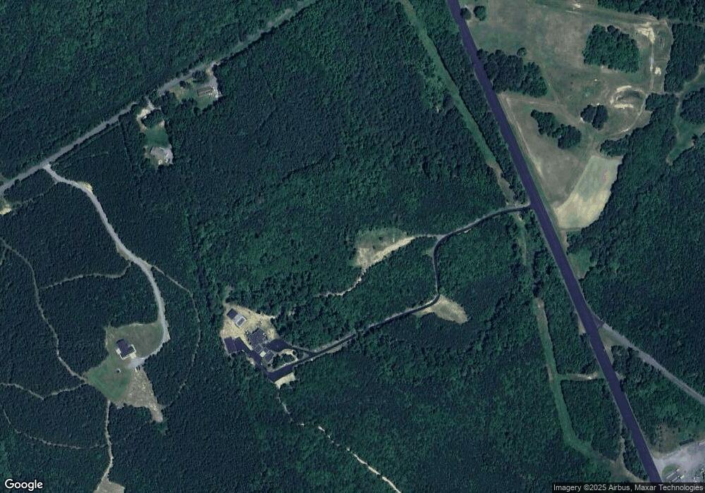
Map
Nearby Homes
- 6 Stafford Cove
- None U S Route 1
- 68 Saratoga Cove
- 129 Lake Caroline Dr
- 247 Tranquility Dr
- 20 Lake Caroline Dr
- 771 Lake Caroline Dr
- 308 Constitution Dr
- 203 Lake Caroline Dr
- 7120 Iron Gall Ln
- 686 Lake Caroline Dr
- 210 Lake Caroline Dr
- 723 Lake Caroline Dr
- 219 Hamilton Dr
- 311 Senate Dr
- 205 Clinton Dr
- 401 Loyalist Dr
- 8 Rutledge Cove
- 319 Lake Caroline Dr
- 163 American Dr
- 20452 Jefferson Davis Hwy
- 8220 Cedar Fork Rd
- 21170 Jefferson Davis Hwy
- Golansville Jefferson Davis Hwy
- 8138 Cedar Fork Rd
- 20463 Jefferson Davis Hwy
- 20440 Jefferson Davis Hwy
- 8327 Hillcrest Dr
- 8321 Hillcrest Dr
- 20427 Jefferson Davis Hwy
- 20404 Jefferson Davis Hwy
- 00 Golansville Bull Ch
- 0000 Golansville Bull Chu
- 0 Palace Green Rd
- 8305 Hillcrest Dr
- 8344 Hillcrest Dr
- 8364 Golansville Rd
- 20411 Jefferson Davis Hwy
- 8392 Hillcrest Dr