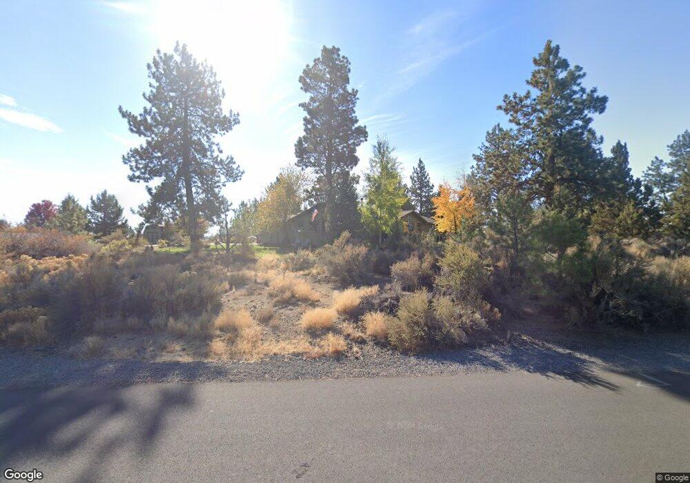
21045 Via Sandia Bend, OR 97702
Old Farm District NeighborhoodEstimated Value: $597,000 - $688,000
3
Beds
2
Baths
1,496
Sq Ft
$432/Sq Ft
Est. Value
About This Home
This home is located at 21045 Via Sandia, Bend, OR 97702 and is currently estimated at $645,667, approximately $431 per square foot. 21045 Via Sandia is a home located in Deschutes County with nearby schools including Silver Rail Elementary School, High Desert Middle School, and Bend Senior High School.
Ownership History
Date
Name
Owned For
Owner Type
Purchase Details
Closed on
May 30, 2007
Sold by
Snyder Perry
Bought by
Stoner Brian and Stoner Julie
Current Estimated Value
Home Financials for this Owner
Home Financials are based on the most recent Mortgage that was taken out on this home.
Original Mortgage
$292,000
Outstanding Balance
$173,817
Interest Rate
5.87%
Mortgage Type
Unknown
Estimated Equity
$471,850
Create a Home Valuation Report for This Property
The Home Valuation Report is an in-depth analysis detailing your home's value as well as a comparison with similar homes in the area
Home Values in the Area
Average Home Value in this Area
Purchase History
| Date | Buyer | Sale Price | Title Company |
|---|---|---|---|
| Stoner Brian | $365,000 | Amerititle |
Source: Public Records
Mortgage History
| Date | Status | Borrower | Loan Amount |
|---|---|---|---|
| Open | Stoner Brian | $292,000 |
Source: Public Records
Tax History Compared to Growth
Tax History
| Year | Tax Paid | Tax Assessment Tax Assessment Total Assessment is a certain percentage of the fair market value that is determined by local assessors to be the total taxable value of land and additions on the property. | Land | Improvement |
|---|---|---|---|---|
| 2025 | $3,821 | $226,150 | -- | -- |
| 2024 | $3,676 | $219,570 | -- | -- |
| 2023 | $3,408 | $213,180 | $0 | $0 |
| 2022 | $3,180 | $200,960 | $0 | $0 |
| 2021 | $3,185 | $195,110 | $0 | $0 |
| 2020 | $3,021 | $195,110 | $0 | $0 |
| 2019 | $2,937 | $189,430 | $0 | $0 |
| 2018 | $2,854 | $183,920 | $0 | $0 |
| 2017 | $2,771 | $178,570 | $0 | $0 |
| 2016 | $2,642 | $173,370 | $0 | $0 |
| 2015 | $2,569 | $168,330 | $0 | $0 |
| 2014 | $2,494 | $163,430 | $0 | $0 |
Source: Public Records
Map
Nearby Homes
- 20984 Via Sierra
- 61197 Cottonwood Dr
- 61159 Ladera Rd
- 61160 Hilmer Creek Dr
- 20921 Sage Creek Dr
- 61245 Crescent Ct
- 61097 Ferguson Ct
- 20868 Tamar Ln
- 61076 Manhae Loop
- 61100 SE Stari Most Loop
- 20864 SE Sunniberg Ln
- 61132 SE Ambassador Dr
- 20870 SE Delta Dr
- 20878 SE Delta Dr
- 20882 SE Delta Dr
- 20874 SE Delta Dr
- 20883 SE Delta Dr
- 20879 SE Delta Dr
- 20871 SE Delta Dr
- 20875 SE Delta Dr
- 61107 Cabin Ln
- 21025 Via Sandia
- 21032 Via Sandia
- 61124 Cabin Ln
- 61114 Cabin Ln
- 61130 Cabin Ct
- 21020 Via Sandia
- 21015 Via Sandia
- 61104 Cabin Ln
- 61134 Cabin Ct
- 21053 Via Sandia
- 0 NE Bellvue Dr Unit Lot 6
- 61111 Heath Ct
- 21008 Via Sandia
- 21052 Via Sandia
- 61103 Heath Ct
- 61138 Cabin Ct
- 61155 Cabin Ln
- 61141 Cabin Ct
- 61135 Bonny Bridge