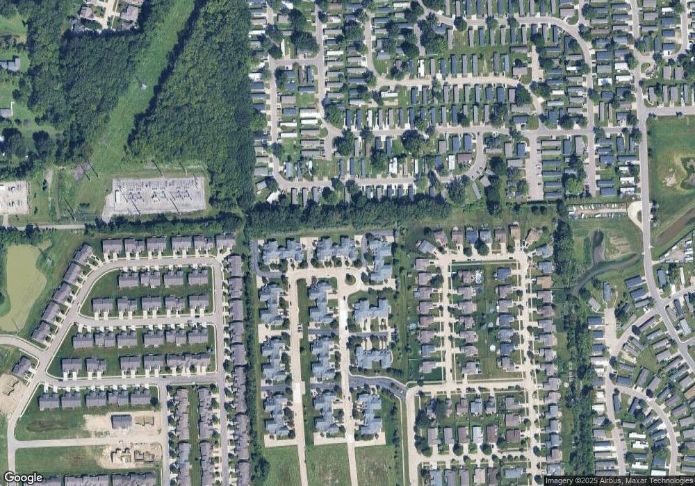
21047 Cooper Dr Unit 30 Macomb, MI 48044
Estimated Value: $204,465 - $216,000
2
Beds
2
Baths
1,299
Sq Ft
$163/Sq Ft
Est. Value
About This Home
This home is located at 21047 Cooper Dr Unit 30, Macomb, MI 48044 and is currently estimated at $211,116, approximately $162 per square foot. 21047 Cooper Dr Unit 30 is a home located in Macomb County with nearby schools including Cherokee Elementary School, Wyandot Middle School, and Chippewa Valley High School.
Ownership History
Date
Name
Owned For
Owner Type
Purchase Details
Closed on
Mar 9, 2016
Sold by
Rousseau Susan
Bought by
Revoca Rousseau Susan and Susan Patricia Rousseau Revocable Li
Current Estimated Value
Purchase Details
Closed on
Oct 8, 2009
Sold by
Broth Ronald L and Carafelly Sharron L
Bought by
Rousseau Susan
Purchase Details
Closed on
Apr 5, 2005
Sold by
Broth Doris A
Bought by
Broth Doris A and Broth Ronald L
Purchase Details
Closed on
Jan 7, 2005
Sold by
Hall Meadows Llc
Bought by
Broth Doris A
Create a Home Valuation Report for This Property
The Home Valuation Report is an in-depth analysis detailing your home's value as well as a comparison with similar homes in the area
Home Values in the Area
Average Home Value in this Area
Purchase History
| Date | Buyer | Sale Price | Title Company |
|---|---|---|---|
| Revoca Rousseau Susan | -- | Attorney | |
| Rousseau Susan | $74,000 | First American Title Ins Co | |
| Broth Doris A | -- | -- | |
| Broth Doris A | $139,900 | Greco |
Source: Public Records
Tax History Compared to Growth
Tax History
| Year | Tax Paid | Tax Assessment Tax Assessment Total Assessment is a certain percentage of the fair market value that is determined by local assessors to be the total taxable value of land and additions on the property. | Land | Improvement |
|---|---|---|---|---|
| 2025 | $1,452 | $97,800 | $0 | $0 |
| 2024 | $1,118 | $89,700 | $0 | $0 |
| 2023 | $1,061 | $80,500 | $0 | $0 |
| 2022 | $1,318 | $73,000 | $0 | $0 |
| 2021 | $1,282 | $70,700 | $0 | $0 |
| 2020 | $973 | $68,000 | $0 | $0 |
| 2019 | $1,186 | $62,600 | $0 | $0 |
| 2018 | $1,161 | $58,900 | $0 | $0 |
| 2017 | $1,137 | $54,210 | $9,250 | $44,960 |
| 2016 | $1,079 | $54,180 | $0 | $0 |
| 2015 | $1,065 | $51,210 | $0 | $0 |
| 2014 | $1,065 | $34,690 | $6,250 | $28,440 |
| 2011 | $210 | $37,550 | $5,250 | $32,300 |
Source: Public Records
Map
Nearby Homes
- 45705 Cagney Dr Unit 63
- 45687 Cagney Dr Unit 70
- 45731 Beaufort Dr
- 45550 Rathmore Dr Unit 278
- 20819 Burn Dr
- 20811 Burn Dr
- 20795 Burn Dr
- 20800 Burn Dr
- 20779 Burn Dr
- The Bradbury Plan at Windemere Farms
- The Glenbury Plan at Windemere Farms
- The Bradbury II Plan at Windemere Farms
- 20771 Burn Dr
- 20776 Burn Dr
- 20768 Burn Dr
- 20816 Burn Dr
- 20832 Burn Dr
- 46403 Le Grande Blvd
- 45869 Bonaventure Dr
- 21537 Notre Dame Dr
- 21043 Cooper Dr
- 21051 Cooper Dr Unit 35
- 21035 Cooper Dr Unit 34
- 21019 Cooper Dr Unit 33
- 21027 Cooper Dr Unit 32
- 21039 Cooper Dr Unit 31
- 21031 Cooper Dr Unit 29
- 21023 Cooper Dr Unit 27
- 21051 Cooper Dr Unit 35; BLDG 4
- 21014 Cooper Dr Unit 145 BUILDING 15
- 21014 Cooper Dr Unit 145
- 21014 Cooper Dr
- 21010 Cooper Dr Unit 140
- 21067 Cooper Dr Unit Bldg-Unit
- 21083 Cooper Dr Unit 3 26
- 21059 Cooper Dr Unit 23
- 21075 Cooper Dr Unit 24
- 21067 Cooper Dr Unit 22
- 21087 Cooper Dr Unit 20
- 21071 Cooper Dr Unit 19
