21047 Rust Rd New Boston, MI 48164
Estimated Value: $295,000 - $346,547
--
Bed
1
Bath
1,738
Sq Ft
$185/Sq Ft
Est. Value
About This Home
This home is located at 21047 Rust Rd, New Boston, MI 48164 and is currently estimated at $321,887, approximately $185 per square foot. 21047 Rust Rd is a home located in Wayne County with nearby schools including Huron High School, St John's Lutheran School, and St. Stephen Elementary School.
Ownership History
Date
Name
Owned For
Owner Type
Purchase Details
Closed on
May 11, 2020
Sold by
Wood Rexial
Bought by
Hale Nathan Michael
Current Estimated Value
Purchase Details
Closed on
Jun 22, 2007
Sold by
Martin Gary O and Martin Karen A
Bought by
Wood Rexial
Create a Home Valuation Report for This Property
The Home Valuation Report is an in-depth analysis detailing your home's value as well as a comparison with similar homes in the area
Home Values in the Area
Average Home Value in this Area
Purchase History
| Date | Buyer | Sale Price | Title Company |
|---|---|---|---|
| Hale Nathan Michael | $150,000 | Michigan Title Ins Agcy Inc | |
| Wood Rexial | $230,000 | Metropolitan Title Company |
Source: Public Records
Tax History Compared to Growth
Tax History
| Year | Tax Paid | Tax Assessment Tax Assessment Total Assessment is a certain percentage of the fair market value that is determined by local assessors to be the total taxable value of land and additions on the property. | Land | Improvement |
|---|---|---|---|---|
| 2025 | $1,835 | $135,000 | $0 | $0 |
| 2024 | $1,835 | $124,900 | $0 | $0 |
| 2023 | $1,750 | $118,200 | $0 | $0 |
| 2022 | $3,114 | $111,200 | $0 | $0 |
| 2021 | $3,016 | $107,100 | $0 | $0 |
| 2020 | $2,976 | $105,900 | $0 | $0 |
| 2019 | $2,838 | $101,500 | $0 | $0 |
| 2018 | $1,529 | $98,700 | $0 | $0 |
| 2017 | $2,422 | $89,600 | $0 | $0 |
| 2016 | $2,704 | $89,600 | $0 | $0 |
| 2015 | $6,627 | $86,200 | $0 | $0 |
| 2013 | $6,420 | $64,200 | $0 | $0 |
| 2012 | -- | $64,200 | $39,600 | $24,600 |
Source: Public Records
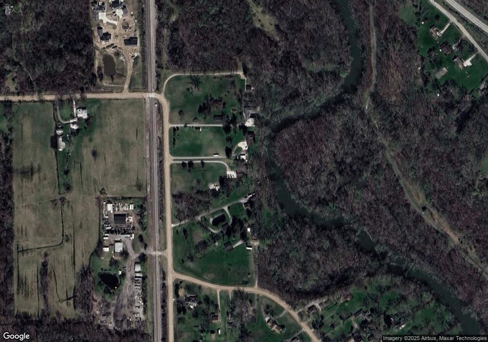
Map
Nearby Homes
- 21925 Waltz Rd
- 19601 Wahrman Rd
- 36727 Evans St
- 37289 Evans St
- 36928 Ellis St
- 21601 Otter Rd
- 17952 Tall Oaks Ct
- 17955 Tall Oaks Ct
- 18736 Huron River Dr
- 21855 Huron River Dr
- 23086 N Evan Ct Unit 20
- 17966 Tall Oaks Ct
- 17978 Tall Oaks Ct
- 23183 Stag Ct
- 37419 Theresa Ln
- Peninsula Plan at Hawthorne Woods
- Larch II Plan at Hawthorne Woods
- Nantucket Plan at Hawthorne Woods
- Enclave II Plan at Hawthorne Woods
- Enclave Plan at Hawthorne Woods