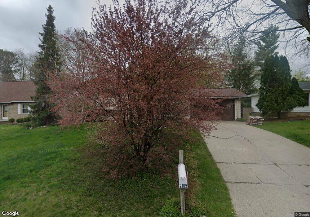
2105 Byrnes Rd Lansing, MI 48906
Northwestside NeighborhoodEstimated Value: $213,077 - $247,000
--
Bed
1
Bath
1,744
Sq Ft
$135/Sq Ft
Est. Value
About This Home
This home is located at 2105 Byrnes Rd, Lansing, MI 48906 and is currently estimated at $236,019, approximately $135 per square foot. 2105 Byrnes Rd is a home located in Ingham County with nearby schools including Cumberland Elementary School, Pattengill Academy, and J.W. Sexton High School.
Ownership History
Date
Name
Owned For
Owner Type
Purchase Details
Closed on
Apr 15, 2024
Sold by
Kruszka Bernard A and Kruszka Kim Renee
Bought by
Kruszka Bernard A and Kruszka Kim Renee
Current Estimated Value
Purchase Details
Closed on
Jun 1, 1992
Create a Home Valuation Report for This Property
The Home Valuation Report is an in-depth analysis detailing your home's value as well as a comparison with similar homes in the area
Home Values in the Area
Average Home Value in this Area
Purchase History
| Date | Buyer | Sale Price | Title Company |
|---|---|---|---|
| Kruszka Bernard A | -- | Michigan Land Title | |
| Kruszka Bernard A | -- | None Listed On Document | |
| -- | $82,000 | -- |
Source: Public Records
Tax History Compared to Growth
Tax History
| Year | Tax Paid | Tax Assessment Tax Assessment Total Assessment is a certain percentage of the fair market value that is determined by local assessors to be the total taxable value of land and additions on the property. | Land | Improvement |
|---|---|---|---|---|
| 2025 | $3,556 | $103,100 | $18,400 | $84,700 |
| 2024 | $28 | $88,400 | $18,400 | $70,000 |
| 2023 | $3,333 | $82,800 | $18,400 | $64,400 |
| 2022 | $3,003 | $76,400 | $10,800 | $65,600 |
| 2021 | $2,941 | $69,800 | $7,700 | $62,100 |
| 2020 | $2,923 | $64,300 | $7,700 | $56,600 |
| 2019 | $2,803 | $61,100 | $7,700 | $53,400 |
| 2018 | $2,626 | $57,100 | $7,700 | $49,400 |
| 2017 | $2,514 | $57,100 | $7,700 | $49,400 |
| 2016 | $2,404 | $47,800 | $7,700 | $40,100 |
| 2015 | $2,404 | $44,700 | $15,457 | $29,243 |
| 2014 | $2,404 | $42,900 | $19,322 | $23,578 |
Source: Public Records
Map
Nearby Homes
- 2206 Kuerbitz Dr
- 2300 Byrnes Rd
- 2123 Cogswell Dr
- 2519 Byrnes Rd
- 2524 Newport Dr
- 3500 Colchester Rd
- 2601 Newport Dr
- 2400 Leon Ave
- 1805 Boynton Dr
- 3733 Colchester Rd
- 3502 Springbrook Ln
- 2316 Barstow Rd
- 1610 Ravenswood Dr
- 3322 Pickwick Place
- 1920 Briarwood Dr
- 3333 W Willow St
- 2241 Cumberland Rd
- 4221 N Grand River Ave
- 2817 W Willow St
- 3230 Sheffer Ave
- 2029 Byrnes Rd
- 2113 Byrnes Rd
- 2124 Kuerbitz Dr
- 2023 Byrnes Rd
- 2121 Byrnes Rd
- 2118 Kuerbitz Dr
- 2132 Kuerbitz Dr
- 2106 Byrnes Rd
- 2030 Byrnes Rd
- 2110 Kuerbitz Dr
- 2116 Byrnes Rd
- 2140 Kuerbitz Dr
- 2015 Byrnes Rd
- 2022 Byrnes Rd
- 2102 Kuerbitz Dr
- 2016 Byrnes Rd
- 3120 Aragon Dr
- 2109 Beacon Hill Dr
- 2007 Byrnes Rd
- 2117 Beacon Hill Dr