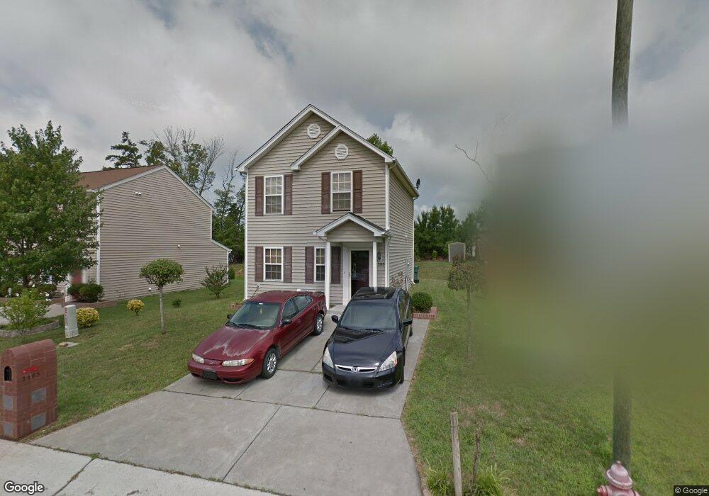
2105 Lime St Durham, NC 27704
Northeast Durham NeighborhoodEstimated Value: $269,000 - $284,000
3
Beds
2
Baths
1,120
Sq Ft
$247/Sq Ft
Est. Value
About This Home
This home is located at 2105 Lime St, Durham, NC 27704 and is currently estimated at $276,430, approximately $246 per square foot. 2105 Lime St is a home located in Durham County with nearby schools including Merrick-Moore Elementary School, John W Neal Middle School, and Southern School of Energy & Sustainability.
Ownership History
Date
Name
Owned For
Owner Type
Purchase Details
Closed on
Jul 6, 2004
Sold by
Anderson Homes Inc
Bought by
Clark Sharon D
Current Estimated Value
Home Financials for this Owner
Home Financials are based on the most recent Mortgage that was taken out on this home.
Original Mortgage
$116,110
Outstanding Balance
$58,083
Interest Rate
6.24%
Mortgage Type
FHA
Estimated Equity
$218,347
Create a Home Valuation Report for This Property
The Home Valuation Report is an in-depth analysis detailing your home's value as well as a comparison with similar homes in the area
Home Values in the Area
Average Home Value in this Area
Purchase History
| Date | Buyer | Sale Price | Title Company |
|---|---|---|---|
| Clark Sharon D | $118,000 | -- |
Source: Public Records
Mortgage History
| Date | Status | Borrower | Loan Amount |
|---|---|---|---|
| Open | Clark Sharon D | $116,110 |
Source: Public Records
Tax History
| Year | Tax Paid | Tax Assessment Tax Assessment Total Assessment is a certain percentage of the fair market value that is determined by local assessors to be the total taxable value of land and additions on the property. | Land | Improvement |
|---|---|---|---|---|
| 2025 | $2,509 | $253,087 | $70,625 | $182,462 |
| 2024 | $1,620 | $116,159 | $22,600 | $93,559 |
| 2023 | $1,522 | $116,159 | $22,600 | $93,559 |
| 2022 | $1,487 | $116,159 | $22,600 | $93,559 |
| 2021 | $1,480 | $116,159 | $22,600 | $93,559 |
| 2020 | $1,445 | $116,159 | $22,600 | $93,559 |
| 2019 | $1,445 | $116,159 | $22,600 | $93,559 |
| 2018 | $1,395 | $102,867 | $25,425 | $77,442 |
| 2017 | $1,385 | $102,867 | $25,425 | $77,442 |
| 2016 | $1,338 | $102,867 | $25,425 | $77,442 |
| 2015 | $1,544 | $111,519 | $25,200 | $86,319 |
| 2014 | $1,544 | $111,519 | $25,200 | $86,319 |
Source: Public Records
Map
Nearby Homes
- 1615 Great Bend Dr
- 2027 Buffalo Way
- 2300 Crestwood Ridge Dr
- 1905 Milan St
- 2040 Feather Rock Dr
- 2206 E Club Blvd
- 18 Syracuse Place
- 2129 Crestwood Ridge Dr
- 1041 Ringhill Bluff Dr
- 2112 Crestwood Ridge Dr
- 1832 E Geer St
- 1515 Milan St
- 2632 Melrose Ave
- 3101 Peale Ln
- 2408 Winburn Ave
- 2406 Winburn Ave
- 1100 Merlin St
- 1012 Merlin St
- 1010 Merlin St
- 1008 Merlin St
- 2103 Lime St
- 2107 Lime St
- 2101 Lime St
- 2109 Lime St
- 1704 Great Bend Dr
- 1706 Great Bend Dr
- 1702 Great Bend Dr
- 2033 Lime St
- 1708 Great Bend Dr
- 2108 Lime St
- 2104 Lime St
- 1624 Great Bend Dr
- 2111 Lime St
- 2112 Lime St
- 1710 Great Bend Dr
- 2031 Lime St
- 1622 Great Bend Dr
- 2113 Lime St
- 2032 Lime St
- 201 Great Bend Dr
Your Personal Tour Guide
Ask me questions while you tour the home.