21051 N May Ave Edmond, OK 73012
West Edmond NeighborhoodEstimated Value: $1,262,000 - $2,891,000
4
Beds
4
Baths
7,229
Sq Ft
$259/Sq Ft
Est. Value
About This Home
This home is located at 21051 N May Ave, Edmond, OK 73012 and is currently estimated at $1,870,033, approximately $258 per square foot. 21051 N May Ave is a home located in Oklahoma County with nearby schools including Prairie Vale Elementary School, Deer Creek Middle School, and Deer Creek Intermediate School.
Ownership History
Date
Name
Owned For
Owner Type
Purchase Details
Closed on
Dec 28, 2017
Sold by
Jirous Jay
Bought by
Thunder Valley Ranch Llc
Current Estimated Value
Purchase Details
Closed on
Oct 26, 2017
Sold by
Jirous Jay P
Bought by
Jirous Jay P
Purchase Details
Closed on
Mar 6, 2006
Sold by
Labar Joy Swanson
Bought by
Jirous Jay P
Purchase Details
Closed on
Jul 9, 2004
Sold by
Labar John Robert and Labar Joy Swanson
Bought by
Labar Joy Swanson and Joy Swanson Labar Revocable Trust
Purchase Details
Closed on
Dec 4, 2000
Sold by
Labar John R and Labar Joy S
Bought by
Labar John R and Labar Joy S
Create a Home Valuation Report for This Property
The Home Valuation Report is an in-depth analysis detailing your home's value as well as a comparison with similar homes in the area
Home Values in the Area
Average Home Value in this Area
Purchase History
| Date | Buyer | Sale Price | Title Company |
|---|---|---|---|
| Thunder Valley Ranch Llc | $1,650,000 | Trustmark Title | |
| Jirous Jay P | -- | None Available | |
| Jirous Jay P | -- | None Available | |
| Jirous Jay P | -- | None Available | |
| Jirous Jay P | $1,818,000 | First American Title & Tr Co | |
| Labar Joy Swanson | -- | -- | |
| Labar John R | -- | -- |
Source: Public Records
Tax History Compared to Growth
Tax History
| Year | Tax Paid | Tax Assessment Tax Assessment Total Assessment is a certain percentage of the fair market value that is determined by local assessors to be the total taxable value of land and additions on the property. | Land | Improvement |
|---|---|---|---|---|
| 2024 | $28,805 | $239,135 | $5,545 | $233,590 |
| 2023 | $28,805 | $232,170 | $2,540 | $229,630 |
| 2022 | $25,879 | $225,408 | $2,476 | $222,932 |
| 2021 | $24,707 | $218,843 | $2,701 | $216,142 |
| 2020 | $2,083 | $16,722 | $2,668 | $14,054 |
| 2019 | $119 | $16,235 | $2,701 | $13,534 |
| 2018 | $695 | $95,269 | $0 | $0 |
| 2017 | $574 | $78,696 | $3,455 | $75,241 |
| 2016 | $9,595 | $76,404 | $7,115 | $69,289 |
| 2015 | $7,627 | $66,112 | $3,589 | $62,523 |
| 2014 | $7,483 | $64,187 | $3,959 | $60,228 |
Source: Public Records
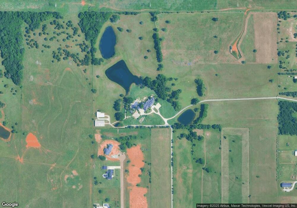
Map
Nearby Homes
- 20796 Alba Ct
- 20400 Deer Hollow Dr
- 20300 Tranquil Pasture Ln
- N Portland Ave
- 20135 Antler Farms Dr
- 21687 Coffee Tree Cir
- 22087 Black Walnut Cir
- 3024 NW 196th St
- 3028 NW 196th St
- 20897 Highlander Ridge Dr
- 22090 White Pine Cir
- 19728 Canning Rd
- 19629 NW Ferris Dr
- 19633 NW Ferris Dr
- 19637 NW Ferris Dr
- 19641 NW Ferris Dr
- 20960 Highlander Ridge Dr
- 3032 NW 196th Place
- 2912 NW 196th Place
- 2916 NW 196th Place
- 20942 Alba Ct
- 20886 Alba Ct
- 3201 NW 206th St
- 20750 Alba Ct
- 3101 NW 206th St
- 3212 NW 206th St
- 3081 NW 206th St
- 20688 Deer Hollow Dr
- 20677 Deer Hollow Dr
- 3021 NW 206th St
- 2900 NW 206th St
- 20644 Deer Springs Cir
- 20622 Deer Hollow Dr
- 20599 Deer Hollow Dr
- 3001 NW 206th St
- 0 Deer Springs Cir
- 20611 Deer Springs Cir
- 20588 Deer Hollow Dr
- 20622 Deer Springs Cir
- 20511 Deer Hollow Dr