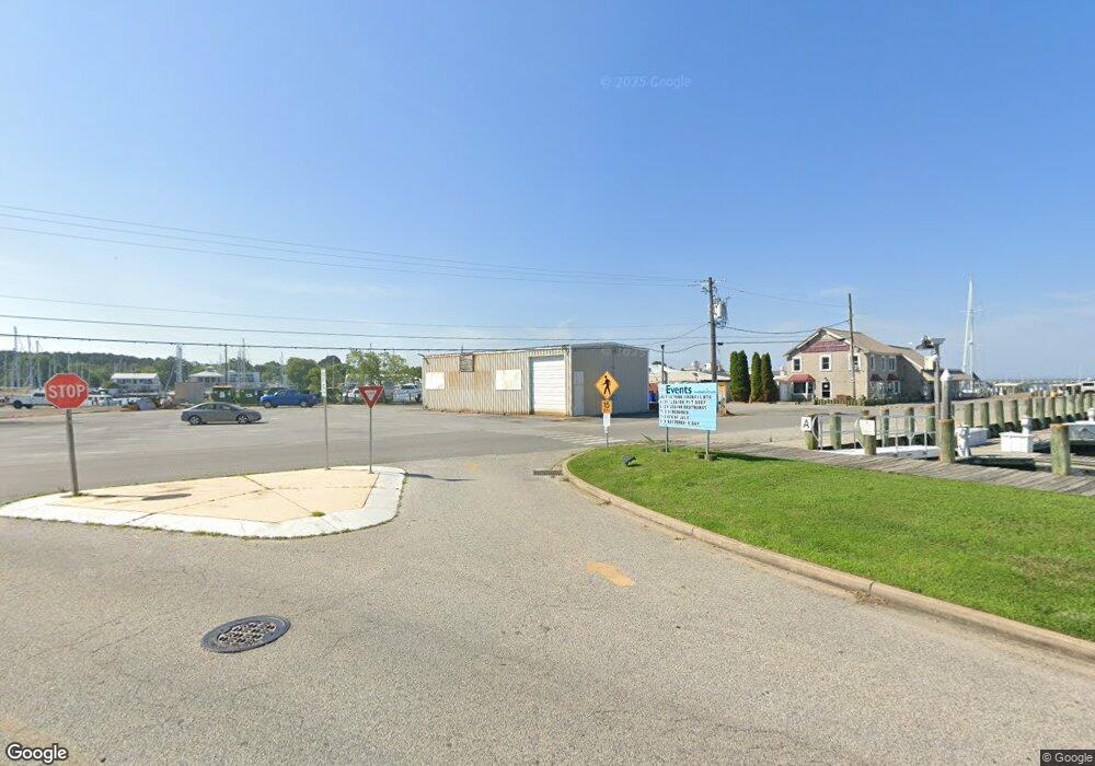
21053 W Sharp St Rock Hall, MD 21661
Estimated Value: $3,513,499
Studio
--
Bath
9,437
Sq Ft
$372/Sq Ft
Est. Value
About This Home
This home is located at 21053 W Sharp St, Rock Hall, MD 21661 and is currently priced at $3,513,499, approximately $372 per square foot. 21053 W Sharp St is a home located in Kent County with nearby schools including Kent County Middle School and Kent County High School.
Ownership History
Date
Name
Owned For
Owner Type
Purchase Details
Closed on
Nov 18, 2022
Sold by
Weldon Inc
Bought by
Watermans Rock Hall Llc
Current Estimated Value
Purchase Details
Closed on
Jul 19, 1996
Sold by
Bissell Harry B Jr & Tr No 24228
Bought by
Weldon William J
Purchase Details
Closed on
Apr 14, 1989
Sold by
Rock Hall Seafood, Inc.
Bought by
Bissell Harry Bjr-Trno24228
Purchase Details
Closed on
Jul 31, 1981
Sold by
Coleman Ernest R and Coleman Charlotte E
Bought by
Rock Hall Seafood, Inc.
Create a Home Valuation Report for This Property
The Home Valuation Report is an in-depth analysis detailing your home's value as well as a comparison with similar homes in the area
Purchase History
| Date | Buyer | Sale Price | Title Company |
|---|---|---|---|
| Watermans Rock Hall Llc | $2,100,000 | -- | |
| Weldon William J | $960,000 | -- | |
| Bissell Harry Bjr-Trno24228 | $890,000 | -- | |
| Rock Hall Seafood, Inc. | $127,000 | -- |
Source: Public Records
Tax History
| Year | Tax Paid | Tax Assessment Tax Assessment Total Assessment is a certain percentage of the fair market value that is determined by local assessors to be the total taxable value of land and additions on the property. | Land | Improvement |
|---|---|---|---|---|
| 2025 | $14,463 | $955,267 | $0 | $0 |
| 2024 | $14,143 | $928,000 | $537,600 | $390,400 |
| 2023 | $14,143 | $928,000 | $537,600 | $390,400 |
| 2022 | $13,852 | $921,000 | $530,600 | $390,400 |
| 2021 | $14,369 | $974,800 | $530,600 | $444,200 |
| 2020 | $14,369 | $974,800 | $530,600 | $444,200 |
| 2019 | $14,369 | $974,800 | $530,600 | $444,200 |
| 2018 | $14,453 | $994,000 | $530,600 | $463,400 |
| 2017 | $14,453 | $994,000 | $0 | $0 |
| 2016 | -- | $994,000 | $0 | $0 |
| 2015 | $17,151 | $1,081,700 | $0 | $0 |
| 2014 | $17,151 | $1,081,700 | $0 | $0 |
Source: Public Records
Map
Nearby Homes
- 21090 W Sharp St Unit 133
- 21090 W Sharp St Unit 112
- 21186 Chesapeake Ave
- 21103 Striper Run
- 5807 Blue Claw Ct
- 5786 S Hawthorne Ave
- 21124 Striper Run
- 21131 Striper Run
- 21133 Striper Run
- 5827 S Hawthorne Ave
- 21235 Rock Hall Ave
- 20992 Rock Hall Ave
- 20812 Mercer Ave
- 0 Judefind Ave Unit MDKE2001688
- 0 Sharp St Unit MDKE2005760
- 5916 N Main St
- 5898 Williams St
- 5883 Williams St
- 21336 Haven Rd
- 21745 Centennial Ln
- 21065 Chesapeake Ave
- 0 Hawthorne Rd Unit MDKE115580
- 0 Hawthorne Rd Unit MDKE115552
- 21083 Chesapeake Ave
- 5657 S Hawthorne Ave
- 21090 W Sharp St Unit 132
- 21090 W Sharp St
- 21090 W Sharp St
- 21090 W Sharp St
- 21090 W Sharp St
- 21090 W Sharp St
- 21090 W Sharp St
- 21090 W Sharp St
- 21090 W Sharp St
- 21090 W Sharp St Unit 123
- 21090 W Sharp St Unit 142
- 21090 W Sharp St Unit 122
- 21090 W Sharp St Unit 113
- 21090 W Sharp St Unit 143
- 21097 Chesapeake Ave
Your Personal Tour Guide
Ask me questions while you tour the home.