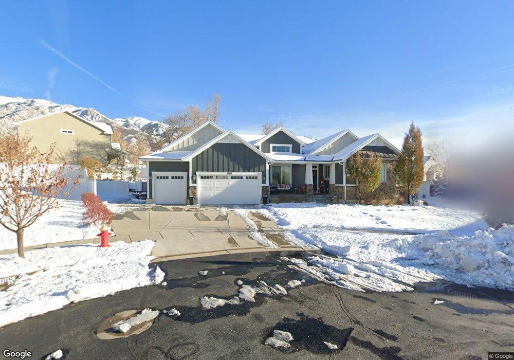
2106 E 1275 N Layton, UT 84040
Estimated Value: $1,050,000 - $1,477,000
6
Beds
5
Baths
5,618
Sq Ft
$212/Sq Ft
Est. Value
About This Home
This home is located at 2106 E 1275 N, Layton, UT 84040 and is currently estimated at $1,192,761, approximately $212 per square foot. 2106 E 1275 N is a home located in Davis County with nearby schools including East Layton Elementary School, Central Davis Junior High School, and Layton High School.
Ownership History
Date
Name
Owned For
Owner Type
Purchase Details
Closed on
Jul 28, 2020
Sold by
Walker Tyson James and Walker Joannah Lynn
Bought by
Salter Sean and Salter Katie
Current Estimated Value
Home Financials for this Owner
Home Financials are based on the most recent Mortgage that was taken out on this home.
Original Mortgage
$646,300
Outstanding Balance
$573,096
Interest Rate
3.1%
Mortgage Type
New Conventional
Estimated Equity
$619,665
Purchase Details
Closed on
May 11, 2016
Sold by
Walker Tyson J and Walker Joannah L
Bought by
Walker Tyson James and Walker Trust
Purchase Details
Closed on
Apr 30, 2013
Sold by
Brighton Homes Utah Llc
Bought by
Walker Tyson James and Walker Joannah Lynn
Home Financials for this Owner
Home Financials are based on the most recent Mortgage that was taken out on this home.
Original Mortgage
$416,000
Interest Rate
3.51%
Mortgage Type
New Conventional
Create a Home Valuation Report for This Property
The Home Valuation Report is an in-depth analysis detailing your home's value as well as a comparison with similar homes in the area
Home Values in the Area
Average Home Value in this Area
Purchase History
| Date | Buyer | Sale Price | Title Company |
|---|---|---|---|
| Salter Sean | -- | Vanguard Title Ins Agcy Llc | |
| Walker Tyson James | -- | None Available | |
| Walker Tyson James | -- | North American Title |
Source: Public Records
Mortgage History
| Date | Status | Borrower | Loan Amount |
|---|---|---|---|
| Open | Salter Sean | $646,300 | |
| Previous Owner | Walker Tyson James | $416,000 |
Source: Public Records
Tax History
| Year | Tax Paid | Tax Assessment Tax Assessment Total Assessment is a certain percentage of the fair market value that is determined by local assessors to be the total taxable value of land and additions on the property. | Land | Improvement |
|---|---|---|---|---|
| 2025 | $5,182 | $543,950 | $168,168 | $375,782 |
| 2024 | $5,061 | $535,150 | $185,495 | $349,655 |
| 2023 | $5,006 | $933,000 | $235,578 | $697,422 |
| 2022 | $5,385 | $545,050 | $127,609 | $417,441 |
| 2021 | $4,730 | $714,000 | $196,220 | $517,780 |
| 2020 | $3,701 | $536,000 | $167,113 | $368,887 |
| 2019 | $3,560 | $505,000 | $147,471 | $357,529 |
| 2018 | $3,329 | $474,000 | $121,453 | $352,547 |
| 2016 | $3,271 | $240,295 | $77,995 | $162,300 |
| 2015 | $3,224 | $224,840 | $77,995 | $146,845 |
| 2014 | $3,162 | $225,436 | $77,995 | $147,441 |
| 2013 | -- | $71,639 | $71,639 | $0 |
Source: Public Records
Map
Nearby Homes
- 2113 E 1200 N
- 2124 E Cherry Ln
- 2203 E 1200 N
- 1975 E 1425 N
- 1332 N 2350 E
- 1843 Hayes Dr
- 1156 Cherrywood Dr
- 2391 Kays Creek Dr
- 1545 E 975 N
- 1907 N Bridge Ct
- 2877 E Gentile St Unit 2
- 1476 Kays Creek Dr
- 2855 E Gentile St Unit 1
- 2509 E 1900 N
- 1350 Kays Creek Dr
- 2547 E 1900 N
- 1258 E North Lisa St
- 1354 E Hollyhock Way
- 1752 N Valley View Dr
- 2231 N Valley View Dr
- 2090 E 1275 N
- 1278 N 2125 E
- 2105 E 1275 N Unit 206
- 1282 N 2125 E Unit 202
- 1282 N 2125 E
- 1228 N 2125 E
- 2072 E 1275 N Unit 209
- 2107 E 1200 N
- 2101 E 1200 N
- 2072 E 1275 N
- 1220 N 2125 E
- 2019 Oakridge Dr
- 2085 E 1200 N
- 2089 E 1275 N
- 1212 N 2125 E
- 2077 E 1200 N
- 2073 E 1275 N
- 1202 N 2125 E
- 2060 E 1275 N
- 2067 E 1200 N
Your Personal Tour Guide
Ask me questions while you tour the home.