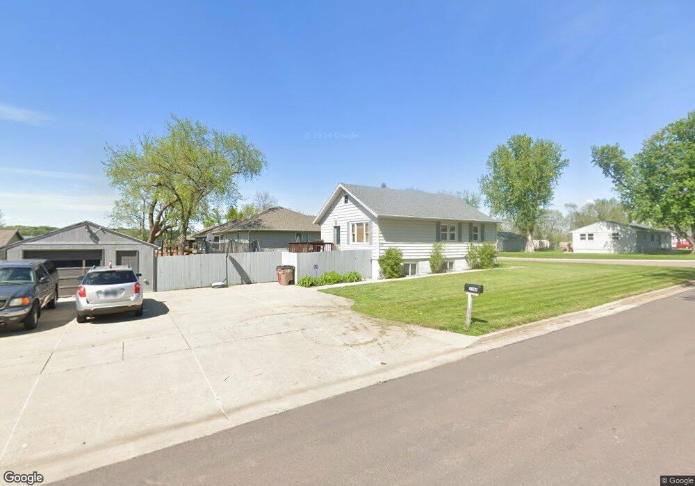
2106 E Mulberry St Sioux Falls, SD 57103
Downtown Sioux Falls NeighborhoodEstimated Value: $204,000 - $230,000
2
Beds
1
Bath
888
Sq Ft
$246/Sq Ft
Est. Value
About This Home
This home is located at 2106 E Mulberry St, Sioux Falls, SD 57103 and is currently estimated at $218,854, approximately $246 per square foot. 2106 E Mulberry St is a home located in Minnehaha County with nearby schools including Laura B. Anderson Elementary School, Whittier Middle School, and Lincoln High School.
Ownership History
Date
Name
Owned For
Owner Type
Purchase Details
Closed on
Jun 19, 2015
Sold by
Todd A Todd A
Bought by
Sutherland Craig
Current Estimated Value
Home Financials for this Owner
Home Financials are based on the most recent Mortgage that was taken out on this home.
Original Mortgage
$107,350
Outstanding Balance
$73,459
Interest Rate
0.78%
Mortgage Type
Purchase Money Mortgage
Estimated Equity
$145,395
Purchase Details
Closed on
Aug 10, 2012
Sold by
Elizabeth M Elizabeth M
Bought by
Jacobs Todd A
Create a Home Valuation Report for This Property
The Home Valuation Report is an in-depth analysis detailing your home's value as well as a comparison with similar homes in the area
Home Values in the Area
Average Home Value in this Area
Purchase History
| Date | Buyer | Sale Price | Title Company |
|---|---|---|---|
| Sutherland Craig | $113,000 | -- | |
| Jacobs Todd A | $99,400 | -- |
Source: Public Records
Mortgage History
| Date | Status | Borrower | Loan Amount |
|---|---|---|---|
| Open | Sutherland Craig | $107,350 |
Source: Public Records
Tax History
| Year | Tax Paid | Tax Assessment Tax Assessment Total Assessment is a certain percentage of the fair market value that is determined by local assessors to be the total taxable value of land and additions on the property. | Land | Improvement |
|---|---|---|---|---|
| 2024 | $2,628 | $194,300 | $23,200 | $171,100 |
| 2023 | $2,328 | $155,800 | $14,800 | $141,000 |
| 2022 | $2,172 | $136,500 | $14,800 | $121,700 |
| 2021 | $1,725 | $110,000 | $0 | $0 |
| 2020 | $1,725 | $101,700 | $0 | $0 |
| 2019 | $1,828 | $106,864 | $0 | $0 |
| 2018 | $1,639 | $102,094 | $0 | $0 |
| 2017 | $1,516 | $95,414 | $13,200 | $82,214 |
| 2016 | $1,516 | $87,644 | $13,200 | $74,444 |
| 2015 | $1,526 | $85,023 | $13,200 | $71,823 |
| 2014 | -- | $85,023 | $13,200 | $71,823 |
Source: Public Records
Map
Nearby Homes
- 1912 E Spruce St
- 1715 E Mulberry St
- 1507 N Highland Ave
- 1705 E Spruce St
- 1915 N Mable Ave
- 2012 E Tracy Ln
- 921 N Chicago Ave
- 1001 N Homestead Cir
- 1016 N Mable Cir
- 2800 E Madison St Unit 1-4
- 1724 E Tracy Ln
- 2109 E 1st St
- 1116 N Archer Dr
- 1303 E Iris Place
- 904 N Highland Ave
- 1108 N Mossy Oak Ave
- 1022 N van Eps Ave
- 712 N Highland Ave
- 1020 N Bunker Place
- 2108 E 30th St N
- 1715 N Street Paul Ave
- 1719 N Saint Paul Ave
- 1719 N Street Paul Ave
- 2109 E Mulberry St
- 2200 E Mulberry St
- 2105 E Mulberry St
- 1729 N Street Paul Ave
- 1729 N Saint Paul Ave
- 2100 E Mulberry St
- 1715 N Saint Paul Ave
- 1613 N Saint Paul Ave
- 1608 N Saint Paul Ave
- 2105 E Walnut St
- 2206 E Mulberry St
- 2101 E Mulberry St
- 1716 N Saint Paul Ave
- 1609 N Saint Paul Ave
- 1612 N Chicago Ave
- 1710 N Chicago Ave
- 2203 E Mulberry St
Your Personal Tour Guide
Ask me questions while you tour the home.