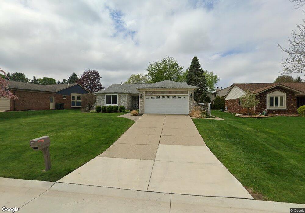
2106 Highsplint Dr Unit Bldg-Unit Rochester Hills, MI 48307
Estimated Value: $435,376 - $475,000
3
Beds
2
Baths
1,590
Sq Ft
$285/Sq Ft
Est. Value
About This Home
This home is located at 2106 Highsplint Dr Unit Bldg-Unit, Rochester Hills, MI 48307 and is currently estimated at $453,094, approximately $284 per square foot. 2106 Highsplint Dr Unit Bldg-Unit is a home located in Oakland County with nearby schools including Hamlin Elementary School, Reuther Middle School, and Rochester High School.
Ownership History
Date
Name
Owned For
Owner Type
Purchase Details
Closed on
Aug 20, 2021
Sold by
Zahedinoori Iman
Bought by
Franklin Michael and Franklin Chona
Current Estimated Value
Purchase Details
Closed on
Feb 9, 2018
Sold by
Hoffman Laura G
Bought by
Zahedinoori Iman
Purchase Details
Closed on
Jun 23, 2014
Sold by
Spencer Ronald D
Bought by
Hoffman Laura G
Home Financials for this Owner
Home Financials are based on the most recent Mortgage that was taken out on this home.
Original Mortgage
$192,850
Interest Rate
4.13%
Mortgage Type
New Conventional
Create a Home Valuation Report for This Property
The Home Valuation Report is an in-depth analysis detailing your home's value as well as a comparison with similar homes in the area
Home Values in the Area
Average Home Value in this Area
Purchase History
| Date | Buyer | Sale Price | Title Company |
|---|---|---|---|
| Franklin Michael | $380,800 | First American Title | |
| Franklin Michael | $380,800 | First American Title | |
| Zahedinoori Iman | $291,500 | None Available | |
| Hoffman Laura G | $203,000 | None Available |
Source: Public Records
Mortgage History
| Date | Status | Borrower | Loan Amount |
|---|---|---|---|
| Previous Owner | Hoffman Laura G | $192,850 |
Source: Public Records
Tax History Compared to Growth
Tax History
| Year | Tax Paid | Tax Assessment Tax Assessment Total Assessment is a certain percentage of the fair market value that is determined by local assessors to be the total taxable value of land and additions on the property. | Land | Improvement |
|---|---|---|---|---|
| 2022 | $2,525 | $142,430 | $0 | $0 |
| 2018 | $3,548 | $116,440 | $0 | $0 |
| 2017 | $3,478 | $117,020 | $0 | $0 |
| 2015 | -- | $107,030 | $0 | $0 |
| 2014 | -- | $94,170 | $0 | $0 |
| 2011 | -- | $84,900 | $0 | $0 |
Source: Public Records
Map
Nearby Homes
- 2132 Winchester Rd
- 2352 Cumberland Rd
- 120 Montmorency Rd
- 00 Fieldcrest Ct
- 2198 S Rochester Rd
- 700 Woodfield Way
- 2020 Breckenridge Ct
- 2043 Breckenridge Ct
- 2044 Breckenridge Ct
- 2019 Breckenridge Ct
- 2028 Breckenridge Ct Unit 10
- 2032 Breckenridge Ct Unit 9
- 1495 Colony Dr
- 1574 Meadow Side Dr Unit 199
- 1612 Stonecrest Dr
- 2009 Logan Dr
- 2196 Willow Leaf Dr
- 2770 Hickory Lawn Rd
- 404 Meadow Bridge Dr
- 2408 S Rochester Rd
- 2106 Highsplint Dr
- 2118 Highsplint Dr
- 2098 Highsplint Dr
- 567 Lockport Rd
- 2134 Highsplint Dr
- 579 Lockport Rd
- 2107 Highsplint Dr
- 2099 Highsplint Dr
- 2115 Highsplint Dr
- 2091 Highsplint Dr
- 550 Lockport Rd
- 2123 Highsplint Dr
- 574 Lockport Rd
- 2131 Highsplint Dr
- 2083 Highsplint Dr
- 2407 Carlisle
- 603 Lockport Rd
- 586 Lockport Rd
- 2154 Highsplint Dr
- 2139 Highsplint Dr