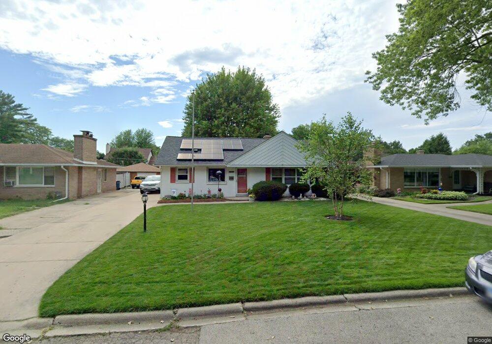
2106 N Poplar St Waukegan, IL 60087
Marquette Highlands NeighborhoodEstimated Value: $248,000 - $274,789
3
Beds
2
Baths
1,260
Sq Ft
$207/Sq Ft
Est. Value
About This Home
This home is located at 2106 N Poplar St, Waukegan, IL 60087 and is currently estimated at $260,197, approximately $206 per square foot. 2106 N Poplar St is a home located in Lake County with nearby schools including Greenwood Elementary School, Edith M Smith Middle School, and Waukegan High School.
Ownership History
Date
Name
Owned For
Owner Type
Purchase Details
Closed on
Nov 1, 2004
Sold by
Frisbie Timothy A and Estate Of Jack M Frisbie
Bought by
Mezo Randall N and Dudek Susan A
Current Estimated Value
Home Financials for this Owner
Home Financials are based on the most recent Mortgage that was taken out on this home.
Original Mortgage
$50,000
Interest Rate
5.8%
Mortgage Type
Purchase Money Mortgage
Create a Home Valuation Report for This Property
The Home Valuation Report is an in-depth analysis detailing your home's value as well as a comparison with similar homes in the area
Home Values in the Area
Average Home Value in this Area
Purchase History
| Date | Buyer | Sale Price | Title Company |
|---|---|---|---|
| Mezo Randall N | $185,000 | First American Title |
Source: Public Records
Mortgage History
| Date | Status | Borrower | Loan Amount |
|---|---|---|---|
| Closed | Mezo Randall N | $50,000 |
Source: Public Records
Tax History Compared to Growth
Tax History
| Year | Tax Paid | Tax Assessment Tax Assessment Total Assessment is a certain percentage of the fair market value that is determined by local assessors to be the total taxable value of land and additions on the property. | Land | Improvement |
|---|---|---|---|---|
| 2024 | $4,436 | $69,868 | $15,465 | $54,403 |
| 2023 | $4,869 | $63,046 | $13,955 | $49,091 |
| 2022 | $4,869 | $60,805 | $12,078 | $48,727 |
| 2021 | $4,756 | $56,621 | $10,775 | $45,846 |
| 2020 | $4,733 | $52,749 | $10,038 | $42,711 |
| 2019 | $4,666 | $48,336 | $9,198 | $39,138 |
| 2018 | $4,280 | $44,803 | $13,019 | $31,784 |
| 2017 | $4,074 | $39,638 | $11,518 | $28,120 |
| 2016 | $4,396 | $34,444 | $10,009 | $24,435 |
| 2015 | $4,194 | $30,828 | $8,958 | $21,870 |
| 2014 | $4,013 | $29,257 | $8,050 | $21,207 |
| 2012 | $5,193 | $31,697 | $8,721 | $22,976 |
Source: Public Records
Map
Nearby Homes
- 2232 Walnut St
- 1905 Linden Ave
- 301 W Eagle Ct
- 616 W Keith Ave
- 0 Traditions Dr
- 1018 W Atlantic Ave
- 2246 Alta Vista Dr
- 2213 Alta Vista Dr
- 1336 N Ash St
- 1335 Chestnut St
- 2350 N Lewis Ave
- 1312 N Linden Ave
- 1612 Whitney St
- 2613 N Lewis Ave
- 1504 W Glen Flora Ave
- 1105 Woodlawn Cir
- 1110 N Ash St
- 2008 Harding Ave
- 2207 Williamsburg Dr
- 2009 Harding Ave
- 2100 N Poplar St
- 2110 N Poplar St
- 2114 N Poplar St
- 2052 N Poplar St
- 2115 Chestnut St
- 2107 Chestnut St
- 2119 Chestnut St
- 2120 N Poplar St
- 2111 N Poplar St
- 2107 N Poplar St
- 2055 Chestnut St
- 2115 N Poplar St
- 2050 N Poplar St
- 2127 Chestnut St
- 2055 N Poplar St
- 2124 N Poplar St
- 2047 Chestnut St
- 2121 N Poplar St
- 2040 N Poplar St
- 2045 N Poplar St