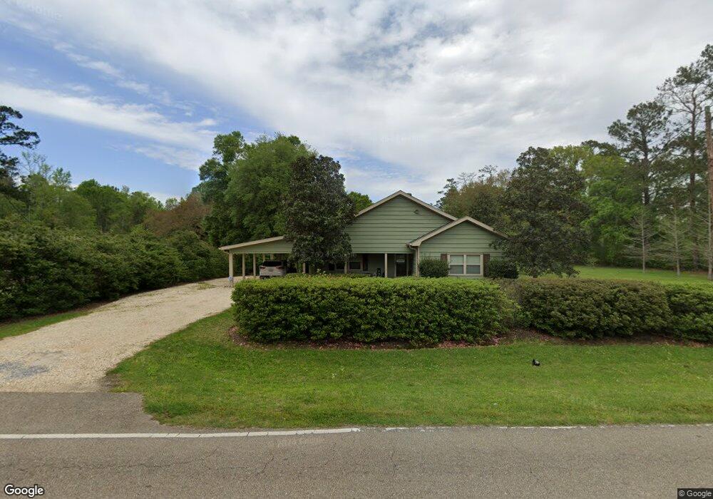
21063 Old Covington Hwy Hammond, LA 70403
Estimated Value: $161,715 - $244,000
--
Bed
--
Bath
2,223
Sq Ft
$92/Sq Ft
Est. Value
About This Home
This home is located at 21063 Old Covington Hwy, Hammond, LA 70403 and is currently estimated at $203,679, approximately $91 per square foot. 21063 Old Covington Hwy is a home located in Tangipahoa Parish with nearby schools including Hammond Eastside Magnet and Hammond High Magnet School.
Ownership History
Date
Name
Owned For
Owner Type
Purchase Details
Closed on
Sep 9, 2016
Sold by
Oalman Ashley Garner and Barney Lauryn Garner
Bought by
Garner Deborah S and Oalman Ashley Garner
Current Estimated Value
Purchase Details
Closed on
Mar 12, 2008
Sold by
Garner Richard W and Smith Deborah Lee
Bought by
Garner Richard W and Garner Deborah S
Home Financials for this Owner
Home Financials are based on the most recent Mortgage that was taken out on this home.
Original Mortgage
$91,000
Interest Rate
5.72%
Mortgage Type
Future Advance Clause Open End Mortgage
Create a Home Valuation Report for This Property
The Home Valuation Report is an in-depth analysis detailing your home's value as well as a comparison with similar homes in the area
Home Values in the Area
Average Home Value in this Area
Purchase History
| Date | Buyer | Sale Price | Title Company |
|---|---|---|---|
| Garner Deborah S | -- | None Available | |
| Garner Richard W | -- | None Available |
Source: Public Records
Mortgage History
| Date | Status | Borrower | Loan Amount |
|---|---|---|---|
| Previous Owner | Garner Richard W | $91,000 |
Source: Public Records
Tax History Compared to Growth
Tax History
| Year | Tax Paid | Tax Assessment Tax Assessment Total Assessment is a certain percentage of the fair market value that is determined by local assessors to be the total taxable value of land and additions on the property. | Land | Improvement |
|---|---|---|---|---|
| 2024 | $1,223 | $10,121 | $3,162 | $6,959 |
| 2023 | $1,202 | $9,886 | $2,928 | $6,958 |
| 2022 | $1,187 | $9,886 | $2,928 | $6,958 |
| 2021 | $292 | $9,886 | $2,928 | $6,958 |
| 2020 | $1,172 | $9,886 | $2,928 | $6,958 |
| 2019 | $1,174 | $9,886 | $2,928 | $6,958 |
| 2018 | $1,177 | $9,886 | $2,928 | $6,958 |
| 2017 | $1,172 | $9,886 | $2,928 | $6,958 |
| 2016 | $1,197 | $9,886 | $2,928 | $6,958 |
| 2015 | $290 | $9,886 | $2,928 | $6,958 |
| 2014 | $280 | $9,886 | $2,928 | $6,958 |
Source: Public Records
Map
Nearby Homes
- 20211 Long Lake Dr
- 20478 Old Covington Hwy
- 0 Little Vegas Dr
- 21348 Old Covington Hwy
- 43352 Rainier Dr
- 20299 Camden Ln
- 20259 Long Lake Dr
- 43421 Biscayne Dr
- 19358 Sisters Rd
- 43460 Denali Dr
- 43459 Denali Dr
- 43360 Quiet Lake Dr
- 0 Old Covington Hwy 1067 Hwy Unit 2428637
- 20185 Hidden Park Ln
- 43309 Quiet Lake Dr
- 20012 Twin Oaks Dr
- 21051 Old Covington Hwy
- 21087 Old Covington Hwy
- 44017 Bennett Rd
- 43488 Chris Ct
- 0 Chris Ct
- 21112 Old Covington Hwy
- 44041 Bennett Rd
- 21076 Old Covington Hwy
- 43475 Chris Ct
- 44014 Bennett Rd
- 43480 Chris Ct
- 44040 Bennett Rd
- 43490 Chris Ct
- 44069 Bennett Rd
- 69160 German Rd
- 20019 Jones Ln
- 15041 Bridge St
- 1349 Third St
- 1710 Fourteenth St
- 40028 Rateau Rd