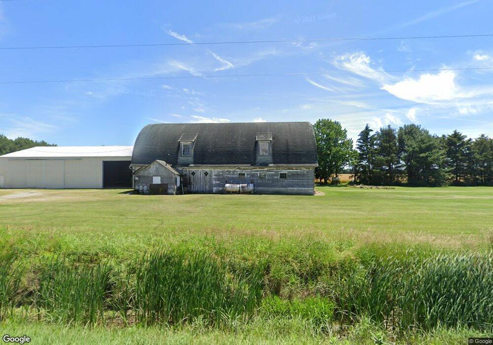
21069 Hammansburg Rd Custar, OH 43511
Estimated Value: $188,000 - $513,234
3
Beds
1
Bath
1,344
Sq Ft
$280/Sq Ft
Est. Value
About This Home
This home is located at 21069 Hammansburg Rd, Custar, OH 43511 and is currently estimated at $375,745, approximately $279 per square foot. 21069 Hammansburg Rd is a home located in Wood County with nearby schools including McComb Elementary School, McComb Middle School, and Mccomb Local High School.
Ownership History
Date
Name
Owned For
Owner Type
Purchase Details
Closed on
Apr 18, 2022
Sold by
Emmitt Perry W and Emmitt Judy E
Bought by
Phillips Hannah E
Current Estimated Value
Purchase Details
Closed on
Feb 18, 2019
Sold by
Emmitt Perry W and Emmitt Judy E
Bought by
Emmitt Jeffrey A and Phillips Jane E
Purchase Details
Closed on
Aug 29, 1977
Bought by
Emmitt Perry W
Create a Home Valuation Report for This Property
The Home Valuation Report is an in-depth analysis detailing your home's value as well as a comparison with similar homes in the area
Home Values in the Area
Average Home Value in this Area
Purchase History
| Date | Buyer | Sale Price | Title Company |
|---|---|---|---|
| Phillips Hannah E | $15,000 | -- | |
| Emmitt Jeffrey A | -- | None Available | |
| Emmitt Perry W | $110,000 | -- |
Source: Public Records
Tax History Compared to Growth
Tax History
| Year | Tax Paid | Tax Assessment Tax Assessment Total Assessment is a certain percentage of the fair market value that is determined by local assessors to be the total taxable value of land and additions on the property. | Land | Improvement |
|---|---|---|---|---|
| 2024 | $3,341 | $143,290 | $96,390 | $46,900 |
| 2023 | $3,341 | $143,290 | $96,390 | $46,900 |
| 2021 | $2,604 | $129,230 | $91,600 | $37,630 |
| 2020 | $2,583 | $129,230 | $91,600 | $37,630 |
| 2019 | $2,922 | $108,860 | $74,660 | $34,200 |
| 2018 | $2,807 | $108,860 | $74,660 | $34,200 |
| 2017 | $3,167 | $108,860 | $74,660 | $34,200 |
| 2016 | $3,194 | $90,200 | $56,560 | $33,640 |
| 2015 | $3,194 | $90,200 | $56,560 | $33,640 |
| 2014 | $3,339 | $90,200 | $56,560 | $33,640 |
| 2013 | $2,324 | $73,890 | $43,300 | $30,590 |
Source: Public Records
Map
Nearby Homes
- 20236 Jerry City Rd
- 0 N Maple St
- 22759 Defiance Pike
- 22856 Main St
- 23117 Defiance Pike
- 687 State Route 235
- 1381 County Road 5
- 114 N Harvest Dr
- 117 Meadow Ln
- 109 N Harvest St
- 106 N Harvest Dr
- 115 Meadow Ln
- 113 N Meadow Ln
- 122 N Harvest St
- 116 Meadow Ln
- 119 N Harvest St
- 112 N Harvest Dr
- 121 N Harvest St
- 118 N Harvest Dr
- 120 N Harvest Dr