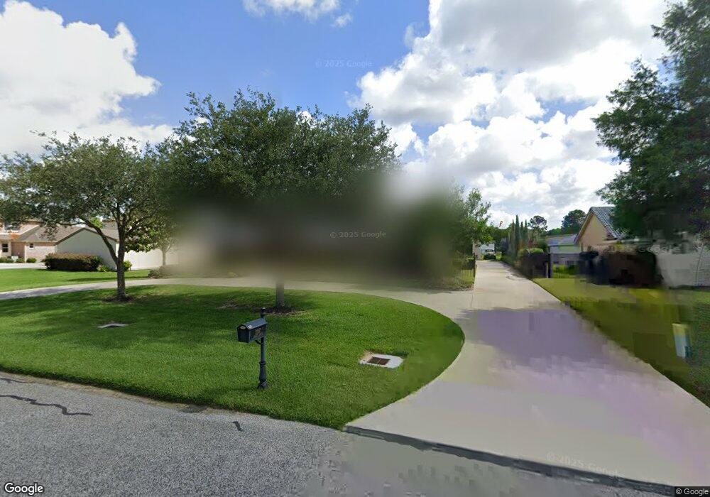
2107 Airline Dr Friendswood, TX 77546
Estimated Value: $582,000 - $947,000
--
Bed
3
Baths
4,008
Sq Ft
$191/Sq Ft
Est. Value
About This Home
This home is located at 2107 Airline Dr, Friendswood, TX 77546 and is currently estimated at $766,911, approximately $191 per square foot. 2107 Airline Dr is a home located in Galveston County with nearby schools including Westwood Elementary School, Zue S. Bales Intermediate School, and Friendswood Junior High School.
Ownership History
Date
Name
Owned For
Owner Type
Purchase Details
Closed on
Jul 31, 2009
Sold by
Odwyer Anthony and Odwyer Helene
Bought by
Massicott David and Massicott Karin
Current Estimated Value
Home Financials for this Owner
Home Financials are based on the most recent Mortgage that was taken out on this home.
Original Mortgage
$236,000
Outstanding Balance
$155,436
Interest Rate
5.41%
Estimated Equity
$611,475
Purchase Details
Closed on
Mar 16, 2001
Sold by
Odwyer Joseph M
Bought by
Odwyer Anthony and Odwyer Helene
Home Financials for this Owner
Home Financials are based on the most recent Mortgage that was taken out on this home.
Original Mortgage
$132,000
Interest Rate
7.13%
Create a Home Valuation Report for This Property
The Home Valuation Report is an in-depth analysis detailing your home's value as well as a comparison with similar homes in the area
Home Values in the Area
Average Home Value in this Area
Purchase History
| Date | Buyer | Sale Price | Title Company |
|---|---|---|---|
| Massicott David | -- | South Land Title Company | |
| Odwyer Anthony | -- | -- |
Source: Public Records
Mortgage History
| Date | Status | Borrower | Loan Amount |
|---|---|---|---|
| Open | Massicott David | $236,000 | |
| Previous Owner | Odwyer Anthony | $132,000 |
Source: Public Records
Tax History Compared to Growth
Tax History
| Year | Tax Paid | Tax Assessment Tax Assessment Total Assessment is a certain percentage of the fair market value that is determined by local assessors to be the total taxable value of land and additions on the property. | Land | Improvement |
|---|---|---|---|---|
| 2025 | $9,152 | $616,359 | -- | -- |
| 2024 | $9,152 | $560,326 | -- | -- |
| 2023 | $9,152 | $509,387 | $0 | $0 |
| 2022 | $10,200 | $463,079 | $0 | $0 |
| 2021 | $9,833 | $574,090 | $126,500 | $447,590 |
| 2020 | $9,220 | $382,710 | $126,500 | $256,210 |
| 2019 | $9,875 | $388,870 | $51,750 | $337,120 |
| 2018 | $9,042 | $353,990 | $51,750 | $302,240 |
| 2017 | $9,809 | $377,710 | $51,750 | $325,960 |
| 2016 | $9,307 | $369,990 | $51,750 | $318,240 |
| 2015 | $2,960 | $372,590 | $51,750 | $320,840 |
| 2014 | $2,625 | $265,200 | $51,750 | $213,450 |
Source: Public Records
Map
Nearby Homes
- 2204 Airline Dr
- 611 Oak Dr
- 204 Oak Dr
- 110 Century Dr
- 2207 Pine Dr
- 1904 Candlelight Ct
- 2405 Pebble Lodge Ln
- 1811 Hunt Dr
- 2316 Durango Bend Ln
- 120 Bandera Creek Ln
- 933 Groundwater Way
- 938 Groundwater Way
- 124 Lamar Canyon Ln
- 2517 Mountain Falls Ct
- 650 Oak Dr
- 3505 Firenze Dr
- 314 Parkwood Village Dr
- 417 Forest Pines Ct
- 3405 Volterra Cir
- 312 Northcliff Ridge Ln
- 2105 Airline Dr
- 2109 Airline Dr
- 2103 Airline Dr
- 2111 Airline Dr
- 2108 Airline Dr
- 2101 Airline Dr
- 2201 Airline Dr
- 2106 Airline Dr
- 2110 Airline Dr
- 2108 Butler Dr
- 2110 Butler Dr
- 2102 Airline Dr
- 2106 Butler Dr
- 2009 Airline Dr
- 2203 Airline Dr
- 2202 Butler Dr
- 2104 Butler Dr
- 2202 Airline Dr
- 2010 Airline Dr
- 2204 Butler Dr