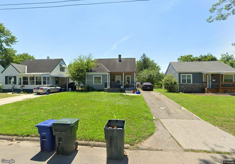
2107 Argyle Dr Columbus, OH 43219
Woodland Holt NeighborhoodEstimated Value: $141,000 - $160,495
4
Beds
2
Baths
1,072
Sq Ft
$143/Sq Ft
Est. Value
About This Home
This home is located at 2107 Argyle Dr, Columbus, OH 43219 and is currently estimated at $153,624, approximately $143 per square foot. 2107 Argyle Dr is a home located in Franklin County with nearby schools including South Mifflin Stem Academy (K-6), Linden-Mckinley Stem School On Arcadia, and Cesar Chavez College Preparatory School.
Ownership History
Date
Name
Owned For
Owner Type
Purchase Details
Closed on
Mar 24, 2005
Sold by
Wallington Robert and Wallington Shirley A
Bought by
Wallington Larry
Current Estimated Value
Home Financials for this Owner
Home Financials are based on the most recent Mortgage that was taken out on this home.
Original Mortgage
$67,200
Outstanding Balance
$33,452
Interest Rate
5.64%
Mortgage Type
FHA
Estimated Equity
$120,172
Purchase Details
Closed on
Aug 6, 1965
Bought by
Wallington Robert
Create a Home Valuation Report for This Property
The Home Valuation Report is an in-depth analysis detailing your home's value as well as a comparison with similar homes in the area
Home Values in the Area
Average Home Value in this Area
Purchase History
| Date | Buyer | Sale Price | Title Company |
|---|---|---|---|
| Wallington Larry | $84,000 | -- | |
| Wallington Robert | -- | -- |
Source: Public Records
Mortgage History
| Date | Status | Borrower | Loan Amount |
|---|---|---|---|
| Open | Wallington Larry | $67,200 |
Source: Public Records
Tax History
| Year | Tax Paid | Tax Assessment Tax Assessment Total Assessment is a certain percentage of the fair market value that is determined by local assessors to be the total taxable value of land and additions on the property. | Land | Improvement |
|---|---|---|---|---|
| 2025 | $1,596 | $35,570 | $8,370 | $27,200 |
| 2024 | $1,596 | $35,570 | $8,370 | $27,200 |
| 2023 | $1,576 | $35,560 | $8,365 | $27,195 |
| 2022 | $1,033 | $19,920 | $2,420 | $17,500 |
| 2021 | $1,035 | $19,920 | $2,420 | $17,500 |
| 2020 | $1,036 | $19,920 | $2,420 | $17,500 |
| 2019 | $943 | $15,540 | $1,960 | $13,580 |
| 2018 | $1,027 | $15,540 | $1,960 | $13,580 |
| 2017 | $942 | $15,540 | $1,960 | $13,580 |
| 2016 | $1,227 | $18,520 | $2,700 | $15,820 |
| 2015 | $1,114 | $18,520 | $2,700 | $15,820 |
| 2014 | $1,116 | $18,520 | $2,700 | $15,820 |
| 2013 | $611 | $20,545 | $2,975 | $17,570 |
Source: Public Records
Map
Nearby Homes
- 2131 Argyle Dr
- 2169 Argyle Dr
- 2144 Toni St
- 1893 Jermain Dr
- 1816 Brentnell Ave
- 1582 Vendome Dr S
- 1477 Dove Dr
- 1991 Woodland Ave
- 2321 Dunning Ct
- 2350 Edenburgh Dr S
- 2020 Berrell Ave
- 0 Delbert Rd Unit 225030362
- 0 Rankin Ave Unit (Rear)
- 1805 E 26th Ave
- 2080 Parkwood Ave Unit 2090
- 1331 Woodnell Ave
- 2459 Meredith Dr
- 2526 Queenswood Dr
- 0 Bretton Rd Unit 225029828
- 0 Mock Rd
Your Personal Tour Guide
Ask me questions while you tour the home.