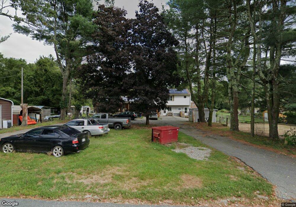
2107 Blossom Rd Westport, MA 02790
Estimated Value: $666,656 - $746,000
5
Beds
2
Baths
3,180
Sq Ft
$226/Sq Ft
Est. Value
About This Home
This home is located at 2107 Blossom Rd, Westport, MA 02790 and is currently estimated at $717,164, approximately $225 per square foot. 2107 Blossom Rd is a home with nearby schools including North End Elementary School, Morton Middle School, and B M C Durfee High School.
Ownership History
Date
Name
Owned For
Owner Type
Purchase Details
Closed on
May 22, 2020
Sold by
Desmarais Paul and Desmarais Daen L
Bought by
Desmarais Dawn L
Current Estimated Value
Home Financials for this Owner
Home Financials are based on the most recent Mortgage that was taken out on this home.
Original Mortgage
$300,000
Outstanding Balance
$264,674
Interest Rate
3.3%
Mortgage Type
New Conventional
Estimated Equity
$452,490
Purchase Details
Closed on
Jul 27, 2015
Sold by
Desmarais Dawn L
Bought by
Desmarais Dawn L and Desmarais Paul J
Purchase Details
Closed on
Sep 4, 2013
Sold by
Desmarais Paul J
Bought by
Desmarais Dawn
Purchase Details
Closed on
Feb 17, 1998
Sold by
Desmarais Paul J
Bought by
Desmarais Dawn L and Desmarais Paul
Create a Home Valuation Report for This Property
The Home Valuation Report is an in-depth analysis detailing your home's value as well as a comparison with similar homes in the area
Home Values in the Area
Average Home Value in this Area
Purchase History
| Date | Buyer | Sale Price | Title Company |
|---|---|---|---|
| Desmarais Dawn L | -- | None Available | |
| Desmarais Dawn L | -- | -- | |
| Desmarais Dawn | -- | -- | |
| Desmarais Dawn | -- | -- | |
| Desmarais Dawn L | $20,000 | -- |
Source: Public Records
Mortgage History
| Date | Status | Borrower | Loan Amount |
|---|---|---|---|
| Open | Desmarais Dawn L | $300,000 | |
| Previous Owner | Desmarais Dawn L | $111,558 | |
| Previous Owner | Desmarais Dawn L | $267,689 |
Source: Public Records
Tax History Compared to Growth
Tax History
| Year | Tax Paid | Tax Assessment Tax Assessment Total Assessment is a certain percentage of the fair market value that is determined by local assessors to be the total taxable value of land and additions on the property. | Land | Improvement |
|---|---|---|---|---|
| 2025 | $5,665 | $494,800 | $189,100 | $305,700 |
| 2024 | $5,129 | $446,400 | $181,900 | $264,500 |
| 2023 | $5,031 | $410,000 | $157,700 | $252,300 |
| 2022 | $4,345 | $344,300 | $147,600 | $196,700 |
| 2021 | $4,521 | $326,900 | $148,100 | $178,800 |
| 2020 | $4,588 | $317,500 | $148,400 | $169,100 |
| 2019 | $4,663 | $319,800 | $150,700 | $169,100 |
| 2018 | $4,503 | $308,000 | $150,700 | $157,300 |
| 2017 | $4,123 | $294,500 | $138,500 | $156,000 |
| 2016 | $3,917 | $287,400 | $138,500 | $148,900 |
| 2015 | $3,673 | $280,800 | $138,500 | $142,300 |
| 2014 | $3,417 | $271,600 | $129,300 | $142,300 |
Source: Public Records
Map
Nearby Homes
- 55 Lynch Ln
- 36 Fordney St
- 168 Windsor St
- 44 Fenmore St
- 309 Yellow Hill Rd
- 1796 Locust St
- 350 Doherty St
- 128 Old Bedford Rd
- 200 David St
- 201 Montgomery Cir
- 1739 Meridian St
- 230 College Park Rd
- 89 Lafayette St
- 85 Reney St
- 189 Lemuel St
- 235 Chavenson St
- 448 Nichols St
- 125 Angell St
- 219 Earle St Unit 3
- 217 Earle St Unit 2
- 2089 Blossom Rd
- 2116 Blossom Rd Unit 1
- 1985 Blossom Rd
- 2000 Blossom Rd
- 1925 Blossom Rd
- 1920 Blossom Rd
- 1825 Blossom Rd
- 1820 Blossom Rd
- 1787 Blossom Rd
- 1757 Blossom Rd
- 1745 Blossom Rd
- 1739 Blossom Rd
- 294 Indian Town Rd
- 292 Indian Town Rd
- 292 Indian Town Rd
- 296 Indian Town Rd
- 296B Indian Town Rd
- 285 Indian Town Rd
- 298 Indian Town Rd
- 300 Indian Town Rd