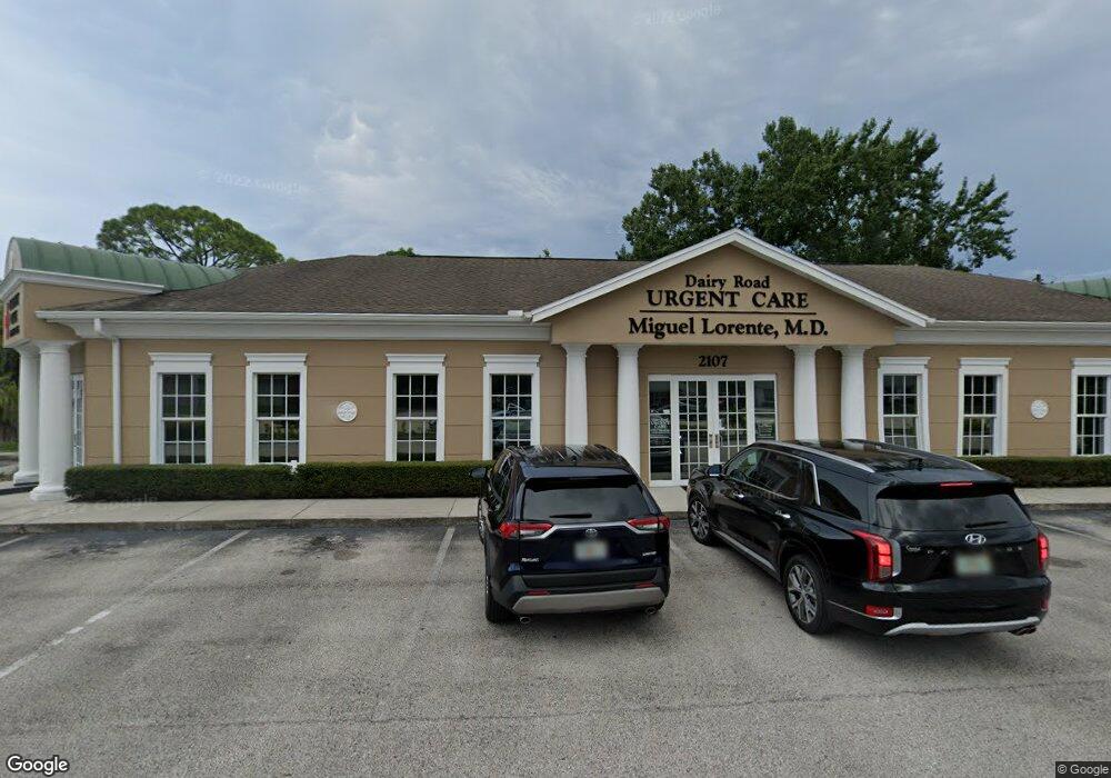
2107 Dairy Rd Melbourne, FL 32904
Estimated Value: $1,702,000
Studio
--
Bath
3,875
Sq Ft
$439/Sq Ft
Est. Value
About This Home
This home is located at 2107 Dairy Rd, Melbourne, FL 32904 and is currently estimated at $1,702,000, approximately $439 per square foot. 2107 Dairy Rd is a home located in Brevard County with nearby schools including University Park Elementary School, Stone Magnet Middle School, and Melbourne Senior High School.
Ownership History
Date
Name
Owned For
Owner Type
Purchase Details
Closed on
Aug 7, 2009
Sold by
Schwartz L John
Bought by
Lorente Florida Real Estate I Limited Pa
Current Estimated Value
Home Financials for this Owner
Home Financials are based on the most recent Mortgage that was taken out on this home.
Original Mortgage
$500,000
Outstanding Balance
$326,833
Interest Rate
5.26%
Estimated Equity
$1,375,167
Create a Home Valuation Report for This Property
The Home Valuation Report is an in-depth analysis detailing your home's value as well as a comparison with similar homes in the area
Home Values in the Area
Average Home Value in this Area
Purchase History
| Date | Buyer | Sale Price | Title Company |
|---|---|---|---|
| Lorente Florida Real Estate I Limited Pa | $600,000 | Attorney |
Source: Public Records
Mortgage History
| Date | Status | Borrower | Loan Amount |
|---|---|---|---|
| Open | Lorente Florida Real Estate I Limited Pa | $500,000 |
Source: Public Records
Tax History
| Year | Tax Paid | Tax Assessment Tax Assessment Total Assessment is a certain percentage of the fair market value that is determined by local assessors to be the total taxable value of land and additions on the property. | Land | Improvement |
|---|---|---|---|---|
| 2025 | $12,417 | $761,770 | -- | -- |
| 2024 | $11,599 | $744,160 | -- | -- |
| 2023 | $11,599 | $699,130 | -- | -- |
| 2022 | $9,846 | $552,450 | $0 | $0 |
| 2021 | $9,816 | $523,720 | $239,050 | $284,670 |
| 2020 | $9,755 | $520,010 | $239,050 | $280,960 |
| 2019 | $9,210 | $469,190 | $239,050 | $230,140 |
| 2018 | $8,936 | $445,220 | $239,050 | $206,170 |
| 2017 | $8,579 | $415,000 | $0 | $415,000 |
| 2016 | $8,733 | $400,000 | $0 | $0 |
| 2015 | $8,648 | $385,000 | $172,120 | $212,880 |
| 2014 | $8,279 | $370,000 | $172,120 | $197,880 |
Source: Public Records
Map
Nearby Homes
- 1927 Westwood Blvd
- 1923 Poinsetta Blvd
- 89 NW Irwin Ave
- 1817 Palm Blvd
- 2501 Diplomat Dr
- 2505 Diplomat Dr
- 2561 Dairy Rd
- 809 Espanola Way
- 907 Espanola Way
- 801 Espanola Way
- 255 San Paulo Cir Unit 11255
- 228 San Paulo Cir Unit 1228
- 139 San Paulo Cir Unit 4139
- 263 Mcclain Dr
- 46 Piney Branch Way Unit B
- 3804 Gail Blvd
- 352 Vesta Cir
- 0000 Irene St
- 0001 Irene St
- 256 Mcclain Dr
- 2107 Dairy Rd
- 2107 Dairy Rd Unit 1
- 2108 Parsons Ave
- 2112 Parsons Ave
- 2106 Parsons Ave
- 2200 Parsons Ave
- 2201 Dairy Rd
- 2204 Parsons Ave
- 2150 Dairy Rd
- 2109 Parsons Ave
- 2107 Parsons Ave
- 2201 Parsons Ave
- 908 Hall St
- 2103 Parsons Ave
- 2205 Parsons Ave
- 2200 Dunbar Ave
- 2108 Dunbar Ave
- 2106 Dunbar Ave
- 2204 Dunbar Ave
- 915 Hall St
Your Personal Tour Guide
Ask me questions while you tour the home.