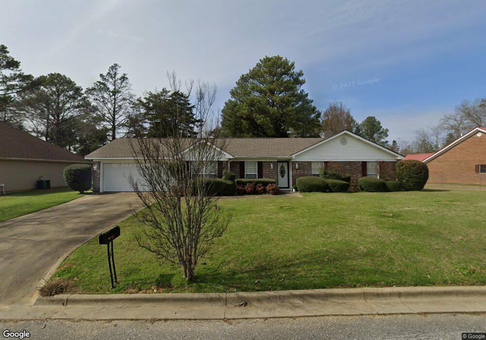
2107 Eastern Cir Demopolis, AL 36732
Estimated Value: $148,000 - $217,000
Studio
--
Bath
1,678
Sq Ft
$115/Sq Ft
Est. Value
About This Home
This home is located at 2107 Eastern Cir, Demopolis, AL 36732 and is currently estimated at $193,074, approximately $115 per square foot. 2107 Eastern Cir is a home with nearby schools including Westside Elementary School, U.S. Jones Elementary School, and Demopolis Middle School.
Ownership History
Date
Name
Owned For
Owner Type
Purchase Details
Closed on
May 24, 2007
Sold by
Rivas Jose Rene
Bought by
Ellis Brandon D
Current Estimated Value
Purchase Details
Closed on
Feb 25, 2005
Sold by
Pearson Excavation Llc
Bought by
Smith Mesha Warrenae
Home Financials for this Owner
Home Financials are based on the most recent Mortgage that was taken out on this home.
Original Mortgage
$24,200
Interest Rate
5.62%
Mortgage Type
Unknown
Create a Home Valuation Report for This Property
The Home Valuation Report is an in-depth analysis detailing your home's value as well as a comparison with similar homes in the area
Home Values in the Area
Average Home Value in this Area
Purchase History
| Date | Buyer | Sale Price | Title Company |
|---|---|---|---|
| Ellis Brandon D | -- | -- | |
| Smith Mesha Warrenae | -- | -- | |
| Smith Mesha Warrenae | -- | -- |
Source: Public Records
Mortgage History
| Date | Status | Borrower | Loan Amount |
|---|---|---|---|
| Previous Owner | Smith Mesha Warrenae | $24,200 | |
| Previous Owner | Smith Mesha Warrenae | $96,800 |
Source: Public Records
Tax History
| Year | Tax Paid | Tax Assessment Tax Assessment Total Assessment is a certain percentage of the fair market value that is determined by local assessors to be the total taxable value of land and additions on the property. | Land | Improvement |
|---|---|---|---|---|
| 2025 | $861 | $16,260 | $840 | $15,420 |
| 2024 | $861 | $16,260 | $840 | $15,420 |
| 2023 | $861 | $16,260 | $0 | $0 |
| 2022 | $861 | $16,260 | $0 | $0 |
| 2021 | $738 | $14,080 | $840 | $13,240 |
| 2020 | $738 | $14,080 | $840 | $13,240 |
| 2019 | $689 | $14,080 | $840 | $13,240 |
| 2018 | $689 | $14,080 | $840 | $13,240 |
| 2017 | $644 | $13,220 | $840 | $12,380 |
| 2016 | $644 | $13,220 | $840 | $12,380 |
| 2015 | $644 | $0 | $0 | $0 |
| 2014 | $644 | $0 | $0 | $0 |
| 2013 | $607 | $0 | $0 | $0 |
Source: Public Records
Map
Nearby Homes
- 0 Hwy 80 E
- 0 Highway 80
- 0 U S 80 Unit 20102631
- County Highway 21
- 800 Arcola Rd
- 205 S Ash Ave
- 210 S Chestnut Ave
- 1006 S Commissioners Ave
- 306 N Ash Ave
- 500 S Main Ave Unit S
- 00 Forest Brook
- 1315 Forest Brook Dr
- 1704 Maple Leaf Dr
- 1511 Service St
- 1805 Cypress Cove Rd
- 0000 Creekside Ln
- 721 Cypress Cove
- 335 Cedar Cove Dr
- 0 County Road 1
- 0 River Ranch Rd
Your Personal Tour Guide
Ask me questions while you tour the home.