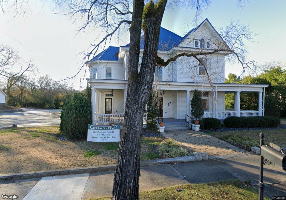
2107 Emory St NW Covington, GA 30014
Estimated Value: $617,297
About This Home
This home is located at 2107 Emory St NW, Covington, GA 30014 and is currently estimated at $617,297, approximately $136 per square foot. 2107 Emory St NW is a home located in Newton County with nearby schools including Middle Ridge Elementary School, Clements Middle School, and Eastside High School.
Ownership History
We collect this data history from publicly available records. To have your information removed, we recommend requesting removal directly through your county’s website.
Purchase Details
Home Financials for this Owner
Home Financials are based on the most recent Mortgage that was taken out on this home.Purchase Details
Purchase Details
Home Financials for this Owner
Home Financials are based on the most recent Mortgage that was taken out on this home.Home Values in the Area
Average Home Value in this Area
Purchase History
We collect this data history from publicly available records. To have your information removed, we recommend requesting removal directly through your county’s website.
| Date | Buyer | Sale Price | Title Company |
|---|---|---|---|
| $475,000 | -- | ||
| -- | -- | ||
| -- | -- |
Mortgage History
We collect this data history from publicly available records. To have your information removed, we recommend requesting removal directly through your county’s website.
| Date | Status | Borrower | Loan Amount |
|---|---|---|---|
| Open | $380,000 | ||
| Previous Owner | $12,140 |
Tax History
We collect this data history from publicly available records. To have your information removed, we recommend requesting removal directly through your county’s website.
| Year | Tax Paid | Tax Assessment Tax Assessment Total Assessment is a certain percentage of the fair market value that is determined by local assessors to be the total taxable value of land and additions on the property. | Land | Improvement |
|---|---|---|---|---|
| 2025 | $6,347 | $213,360 | $29,240 | $184,120 |
| 2024 | $5,366 | $177,720 | $29,240 | $148,480 |
| 2023 | $6,983 | $214,880 | $29,240 | $185,640 |
| 2022 | $6,019 | $185,200 | $29,240 | $155,960 |
| 2021 | $4,348 | $119,720 | $29,240 | $90,480 |
| 2020 | $3,608 | $90,440 | $29,240 | $61,200 |
| 2019 | $3,158 | $77,720 | $29,240 | $48,480 |
| 2018 | $1,834 | $89,240 | $40,760 | $48,480 |
| 2017 | $3,799 | $92,440 | $40,760 | $51,680 |
| 2016 | $3,799 | $92,440 | $40,760 | $51,680 |
| 2015 | $3,301 | $80,240 | $40,760 | $39,480 |
| 2014 | $3,301 | $80,240 | $0 | $0 |
Map
- 13709 Whitman Ln
- 13875 Homer Ln
- 3168 Corley St NW
- 4694 Sunrise Ridge
- 3161 Stone Mountain St NW
- 2238 Emory St SW
- 1133 Church St SE Unit 2
- 2159 Hendricks St SW
- 3127 Hendrix Cir SW
- 1146 Oak St SE
- 2107 E Haven Dr NE
- 4153 Raphael St SW
- 4125 Hunt St SW
- 4121 Summers St SW
- 4121 N Swann St
- 2204 Monticello St SW
- 5102 Park St SW
- 13 AC Highway 81
- 5117 W Robinson St
- 2218 East St SE
- 3251 Highway 81
- S Highway 81
- S Highway 81 Unit 80+
- 00 S Hwy 81
- 0 S Highway 81 Unit 10408549
- 0 S Highway 81 Unit 10269857
- 0 S Highway 81 Unit 10269820
- 0 S Highway 81 Unit 10105929
- 0 S Highway 81 Unit 10105927
- 0 S Highway 81 Unit 9065563
- 0 S Highway 81 Unit 9065554
- 0 S Highway 81 Unit 8475882
- 2169 Usher St NW
- 2108 Emory St NW
- N Highway 81 Unit 1
- 2177 Usher St NW
- 2117 Emory St NW
- 2145 Clark St SW
- 2120 Lee St SW
- 1186 Washington St SW
Ask me questions while you tour the home.