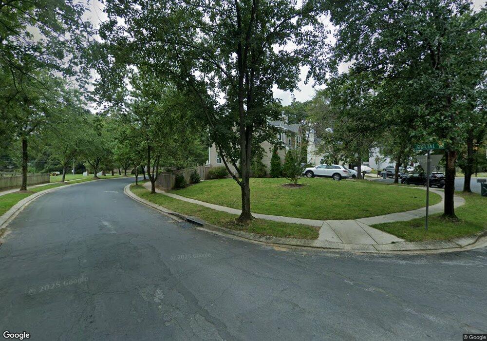
2107 Higher Ct Crofton, MD 21114
Estimated Value: $680,000 - $754,000
Studio
3
Baths
1,893
Sq Ft
$377/Sq Ft
Est. Value
About This Home
This home is located at 2107 Higher Ct, Crofton, MD 21114 and is currently estimated at $713,058, approximately $376 per square foot. 2107 Higher Ct is a home located in Anne Arundel County with nearby schools including Crofton Meadows Elementary School, Crofton Middle School, and Crofton High School.
Ownership History
Date
Name
Owned For
Owner Type
Purchase Details
Closed on
Jul 20, 2005
Sold by
Prudential Relocation Inc
Bought by
Groody Michael and Groody Kathleen
Current Estimated Value
Home Financials for this Owner
Home Financials are based on the most recent Mortgage that was taken out on this home.
Original Mortgage
$359,650
Outstanding Balance
$187,863
Interest Rate
5.67%
Mortgage Type
New Conventional
Estimated Equity
$525,195
Purchase Details
Closed on
May 10, 2005
Sold by
Osborne Charles D
Bought by
Prudential Relocation Inc
Purchase Details
Closed on
Jan 24, 1997
Sold by
Prudential Residential
Bought by
Osborne Charles D and Osborne Donna M
Purchase Details
Closed on
Dec 12, 1996
Sold by
Krawczyk Wayne S
Bought by
Prudential Residential
Create a Home Valuation Report for This Property
The Home Valuation Report is an in-depth analysis detailing your home's value as well as a comparison with similar homes in the area
Home Values in the Area
Average Home Value in this Area
Purchase History
| Date | Buyer | Sale Price | Title Company |
|---|---|---|---|
| Groody Michael | $479,900 | -- | |
| Prudential Relocation Inc | $479,900 | -- | |
| Osborne Charles D | $182,900 | -- | |
| Prudential Residential | $183,500 | -- |
Source: Public Records
Mortgage History
| Date | Status | Borrower | Loan Amount |
|---|---|---|---|
| Open | Groody Michael | $359,650 | |
| Closed | Osborne Charles D | -- |
Source: Public Records
Tax History
| Year | Tax Paid | Tax Assessment Tax Assessment Total Assessment is a certain percentage of the fair market value that is determined by local assessors to be the total taxable value of land and additions on the property. | Land | Improvement |
|---|---|---|---|---|
| 2025 | $5,047 | $540,733 | -- | -- |
| 2024 | $5,047 | $504,667 | $0 | $0 |
| 2023 | $4,888 | $468,600 | $260,300 | $208,300 |
| 2022 | $4,572 | $456,367 | $0 | $0 |
| 2020 | $4,364 | $431,900 | $235,300 | $196,600 |
| 2019 | $4,299 | $431,900 | $235,300 | $196,600 |
| 2018 | $4,379 | $431,900 | $235,300 | $196,600 |
| 2017 | $4,068 | $435,800 | $0 | $0 |
| 2016 | -- | $401,233 | $0 | $0 |
| 2015 | -- | $366,667 | $0 | $0 |
| 2014 | -- | $332,100 | $0 | $0 |
Source: Public Records
Map
Nearby Homes
- 1851 Foxdale Ct
- 1523 Eton Way
- 1717 Aberdeen Ct
- 1822 Foxdale Ct
- 1715 Hart Ct
- 1648 New Windsor Ct
- 1581 Crofton Pkwy
- 1729 Dana St Unit 6
- 1521 Fenway Rd
- 1700 Fallowfield Ct
- 1928 Tilghman Dr
- 2508 Stow Ct
- 1681 Yorktown Ct
- 1683 Fallowfield Ct
- 1687 Fallowfield Ct
- 1410 Flatwood Ct
- 2709 Bains Ct
- 1782 Shaftsbury Ave
- 1860 Yeoman Ct
- 1805 Roxboro Place
- 2105 Higher Ct
- 2092 Lower Ct
- 1803 Judicial Way
- 2101 Higher Ct
- 2100 Higher Ct
- 2102 Higher Ct
- 2161 Davidsonville Rd
- 1802 Judicial Way
- 1805 Judicial Way
- 2090 Lower Ct
- 2104 Higher Ct
- 1804 Judicial Way
- 1807 Judicial Way
- 2097 Lower Ct
- 2088 Lower Ct
- 1508 Flynt Place
- 1806 Judicial Way
- 1506 Flynt Place
- 1809 Judicial Way
- 2095 Lower Ct
