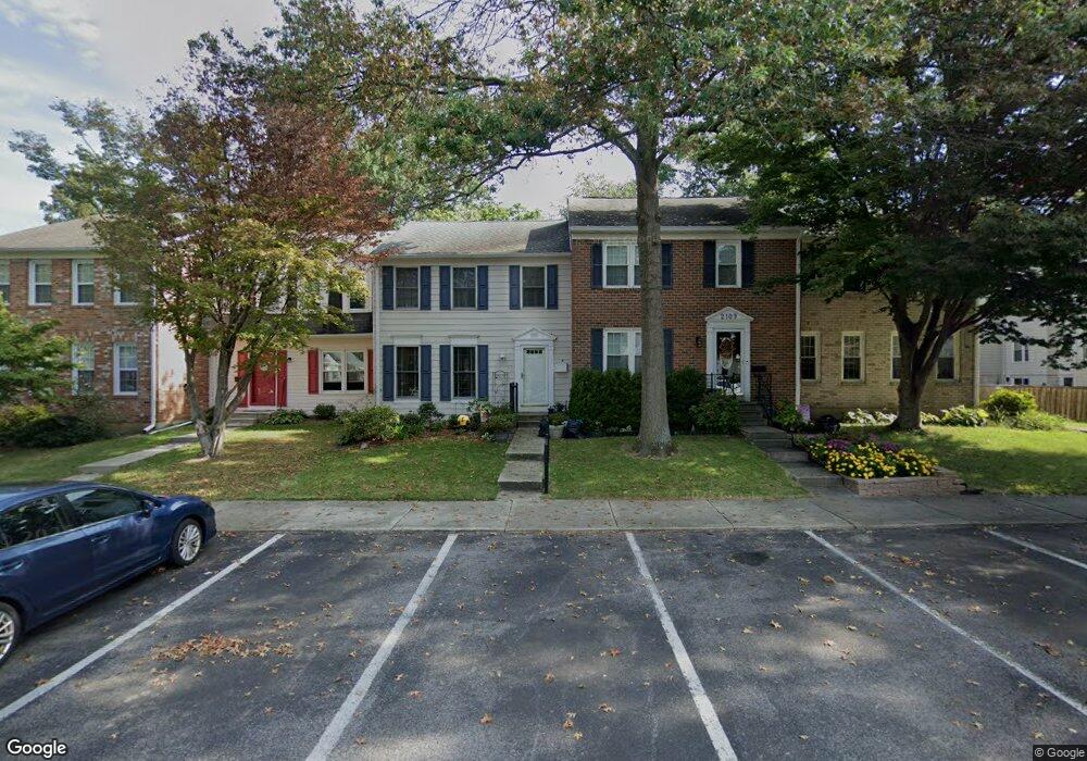
2107 Lang Dr Crofton, MD 21114
Estimated Value: $380,000 - $470,000
--
Bed
3
Baths
1,408
Sq Ft
$298/Sq Ft
Est. Value
About This Home
This home is located at 2107 Lang Dr, Crofton, MD 21114 and is currently estimated at $419,862, approximately $298 per square foot. 2107 Lang Dr is a home located in Anne Arundel County with nearby schools including Crofton Woods Elementary School, Crofton Middle School, and Crofton High School.
Ownership History
Date
Name
Owned For
Owner Type
Purchase Details
Closed on
Dec 19, 2013
Sold by
Day Carole Ann and Day Carole A
Bought by
Day Carole Ann
Current Estimated Value
Purchase Details
Closed on
Jun 22, 1998
Sold by
Rappoport Kevin
Bought by
Day Carole A
Purchase Details
Closed on
Apr 27, 1990
Sold by
Laidlaw Thomas
Bought by
Rappoport Kevin
Home Financials for this Owner
Home Financials are based on the most recent Mortgage that was taken out on this home.
Original Mortgage
$129,550
Interest Rate
10.56%
Create a Home Valuation Report for This Property
The Home Valuation Report is an in-depth analysis detailing your home's value as well as a comparison with similar homes in the area
Home Values in the Area
Average Home Value in this Area
Purchase History
| Date | Buyer | Sale Price | Title Company |
|---|---|---|---|
| Day Carole Ann | -- | None Available | |
| Day Carole A | $131,000 | -- | |
| Rappoport Kevin | $129,200 | -- |
Source: Public Records
Mortgage History
| Date | Status | Borrower | Loan Amount |
|---|---|---|---|
| Previous Owner | Rappoport Kevin | $129,550 | |
| Closed | Day Carole A | -- |
Source: Public Records
Tax History Compared to Growth
Tax History
| Year | Tax Paid | Tax Assessment Tax Assessment Total Assessment is a certain percentage of the fair market value that is determined by local assessors to be the total taxable value of land and additions on the property. | Land | Improvement |
|---|---|---|---|---|
| 2025 | $2,159 | $326,500 | -- | -- |
| 2024 | $2,159 | $308,200 | $0 | $0 |
| 2023 | $2,097 | $289,900 | $170,000 | $119,900 |
| 2022 | $1,979 | $289,600 | $0 | $0 |
| 2021 | $1,917 | $289,300 | $0 | $0 |
| 2020 | $1,917 | $289,000 | $170,000 | $119,000 |
| 2019 | $1,876 | $277,833 | $0 | $0 |
| 2018 | $2,704 | $266,667 | $0 | $0 |
| 2017 | $1,746 | $255,500 | $0 | $0 |
| 2016 | -- | $245,567 | $0 | $0 |
| 2015 | -- | $235,633 | $0 | $0 |
| 2014 | -- | $225,700 | $0 | $0 |
Source: Public Records
Map
Nearby Homes
- 2103 Higher Ct
- 1764 Sharwood Place
- 1822 Foxdale Ct
- 1804 Aberdeen Cir
- 1745 Leisure Way
- 1711 Denton Ct
- 1721 Leisure Way
- 2241 Aberdeen Dr
- 1557 Farlow Ave
- 1782 Shaftsbury Ave
- 2807 Klein Ct
- 1729 Dana St Unit 6
- 1503 Carlyle Dr
- 1217 Birchleaf Ct
- 1606 Angus Ct
- 1700 Fallowfield Ct
- 1710 Fallowfield Ct
- 1683 Fallowfield Ct
- 1567 Fallowfield Ct
- 1565 Fallowfield Ct