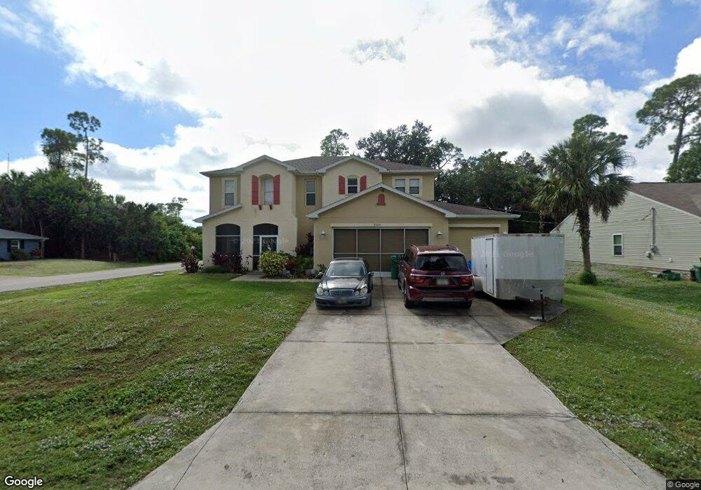
21075 Exmore Ave Port Charlotte, FL 33952
Estimated Value: $462,739 - $527,000
3
Beds
2
Baths
1,750
Sq Ft
$284/Sq Ft
Est. Value
About This Home
This home is located at 21075 Exmore Ave, Port Charlotte, FL 33952 and is currently estimated at $497,185, approximately $284 per square foot. 21075 Exmore Ave is a home located in Charlotte County with nearby schools including Neil Armstrong Elementary School, Murdock Middle School, and Port Charlotte High School.
Ownership History
Date
Name
Owned For
Owner Type
Purchase Details
Closed on
Mar 14, 2007
Sold by
Kb Home Fort Myers Llc
Bought by
Benoit Edith
Current Estimated Value
Home Financials for this Owner
Home Financials are based on the most recent Mortgage that was taken out on this home.
Original Mortgage
$225,592
Outstanding Balance
$136,248
Interest Rate
6.22%
Mortgage Type
New Conventional
Estimated Equity
$360,937
Purchase Details
Closed on
May 10, 2005
Sold by
Mouser Stanley G and Condon Gwen Allen
Bought by
Kb Homes Fort Myers Llc
Create a Home Valuation Report for This Property
The Home Valuation Report is an in-depth analysis detailing your home's value as well as a comparison with similar homes in the area
Home Values in the Area
Average Home Value in this Area
Purchase History
| Date | Buyer | Sale Price | Title Company |
|---|---|---|---|
| Benoit Edith | $282,000 | First American Title Ins Co | |
| Kb Homes Fort Myers Llc | $31,000 | Guardian Title Services Corp |
Source: Public Records
Mortgage History
| Date | Status | Borrower | Loan Amount |
|---|---|---|---|
| Open | Benoit Edith | $225,592 |
Source: Public Records
Tax History Compared to Growth
Tax History
| Year | Tax Paid | Tax Assessment Tax Assessment Total Assessment is a certain percentage of the fair market value that is determined by local assessors to be the total taxable value of land and additions on the property. | Land | Improvement |
|---|---|---|---|---|
| 2023 | $3,164 | $194,148 | $0 | $0 |
| 2022 | $3,050 | $188,493 | $0 | $0 |
| 2021 | $3,046 | $183,003 | $0 | $0 |
| 2020 | $2,990 | $180,476 | $0 | $0 |
| 2019 | $2,890 | $176,418 | $0 | $0 |
| 2018 | $2,668 | $173,129 | $0 | $0 |
| 2017 | $2,642 | $169,568 | $0 | $0 |
| 2016 | $2,628 | $166,080 | $0 | $0 |
| 2015 | $2,626 | $164,926 | $0 | $0 |
| 2014 | $2,597 | $163,617 | $0 | $0 |
Source: Public Records
Map
Nearby Homes
- 1394 Viscaya Dr
- 21068 Exmore Ave
- 1418 Viscaya
- 1409 Yorkshire St
- 1402 Viscaya Dr
- 21051 Cascade Ave
- 1490 Yorkshire St
- 20995 Cornell Ave
- 21059 Cascade Ave
- 21019 Malden Ave
- 1505 Kenmore St
- 1529 Newton St
- 1370 Kenmore St
- 1525 Hinton St
- 1301 Yates St
- 1565 Dorchester St
- 1630 Viscaya Dr
- 1358 Fargo St
- 1381 Fargo St
- 1321 Newton St
- 21067 Exmore Ave
- 1475 Viscaya Dr
- 1661 Viscaya Dr
- 1458 Viscaya Dr
- 21059 Exmore Ave
- 1450 Viscaya Dr
- 1443 Viscaya Dr
- 21060 Kearney Ave
- 1474 Viscaya Dr
- 21060 Exmore Ave
- 1434 Viscaya Dr
- 21052 Kearney Ave
- 1457 Yorkshire St
- 1465 Yorkshire St
- 1427 Viscaya Dr
- 1482 Viscaya Dr
- 21067 Cornell Ave
- 1441 Yorkshire St
- 21043 Exmore Ave
- 21076 Cornell Ave