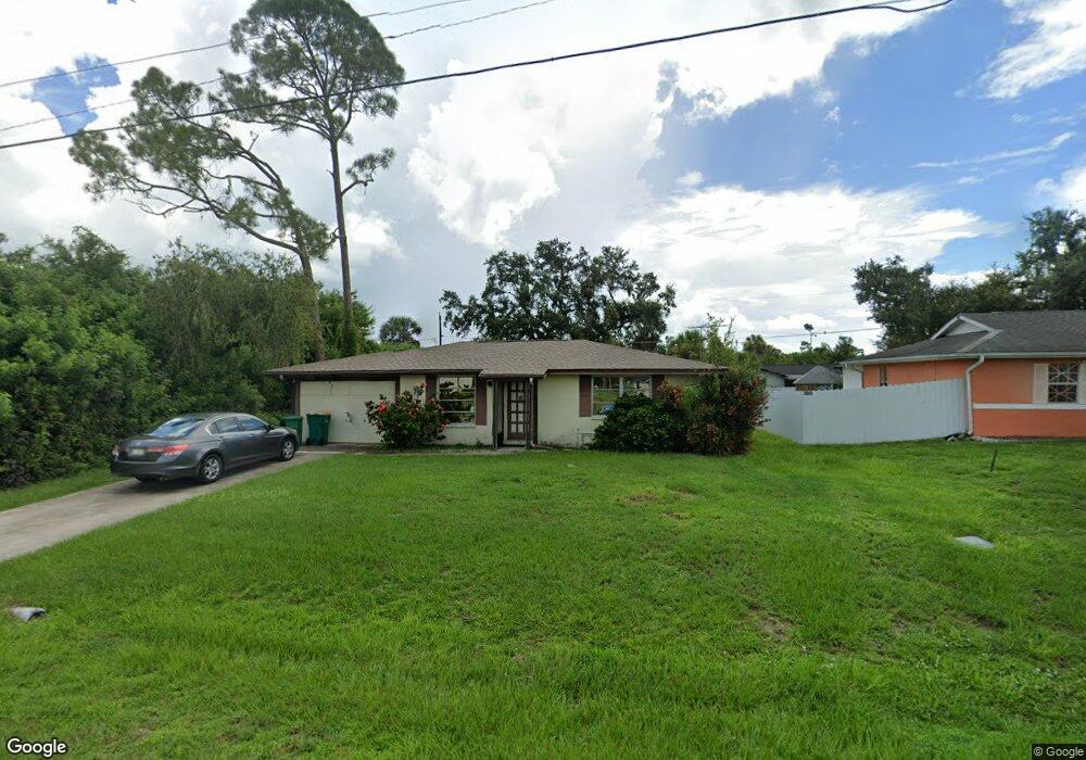
21084 Quesada Ave Port Charlotte, FL 33952
Estimated Value: $121,000 - $186,000
2
Beds
1
Bath
924
Sq Ft
$158/Sq Ft
Est. Value
About This Home
This home is located at 21084 Quesada Ave, Port Charlotte, FL 33952 and is currently estimated at $146,269, approximately $158 per square foot. 21084 Quesada Ave is a home located in Charlotte County with nearby schools including Neil Armstrong Elementary School, Murdock Middle School, and Port Charlotte High School.
Ownership History
Date
Name
Owned For
Owner Type
Purchase Details
Closed on
Mar 25, 2025
Sold by
Staros Cristan C
Bought by
Staros Cristan C and Staros Julian
Current Estimated Value
Purchase Details
Closed on
Apr 25, 2002
Sold by
Cassells Samuel G and Cassells Irene F
Bought by
Staros Cristan C
Home Financials for this Owner
Home Financials are based on the most recent Mortgage that was taken out on this home.
Original Mortgage
$53,500
Interest Rate
7.16%
Create a Home Valuation Report for This Property
The Home Valuation Report is an in-depth analysis detailing your home's value as well as a comparison with similar homes in the area
Home Values in the Area
Average Home Value in this Area
Purchase History
| Date | Buyer | Sale Price | Title Company |
|---|---|---|---|
| Staros Cristan C | $100 | None Listed On Document | |
| Staros Cristan C | $53,500 | -- |
Source: Public Records
Mortgage History
| Date | Status | Borrower | Loan Amount |
|---|---|---|---|
| Previous Owner | Staros Cristan C | $53,500 |
Source: Public Records
Tax History Compared to Growth
Tax History
| Year | Tax Paid | Tax Assessment Tax Assessment Total Assessment is a certain percentage of the fair market value that is determined by local assessors to be the total taxable value of land and additions on the property. | Land | Improvement |
|---|---|---|---|---|
| 2024 | $777 | $32,573 | -- | -- |
| 2023 | $777 | $30,215 | $0 | $0 |
| 2022 | $813 | $33,051 | $0 | $0 |
| 2021 | $792 | $32,088 | $0 | $0 |
| 2020 | $754 | $31,645 | $0 | $0 |
| 2019 | $680 | $30,934 | $0 | $0 |
| 2018 | $616 | $30,357 | $0 | $0 |
| 2017 | $601 | $29,733 | $0 | $0 |
| 2016 | $586 | $29,121 | $0 | $0 |
| 2015 | $560 | $28,919 | $0 | $0 |
| 2014 | $536 | $28,689 | $0 | $0 |
Source: Public Records
Map
Nearby Homes
- 1205 Yorkshire St
- 21192 Quesada Ave
- 1321 Newton St
- 1402 Viscaya Dr
- 1301 Yates St
- 1370 Kenmore St
- 21051 Cascade Ave
- 1409 Yorkshire St
- 21059 Cascade Ave
- 1418 Viscaya
- 21161 Knollwood Ave
- 21068 Exmore Ave
- 1394 Viscaya Dr
- 21271 Quesada Ave
- 20995 Cornell Ave
- 1529 Newton St
- 1196 Hinton St
- 1150 Winston St
- 20430 Sapling Ave
- 1233 Dewhurst St
- 21090 Quesada Ave
- 21077 Alpine Ave
- 21085 Alpine Ave
- 21069 Alpine Ave
- 21096 Quesada Ave
- 21061 Alpine Ave
- 1282 Viscaya Dr
- 21066 Quesada Ave
- 1265 Yorkshire St
- 1245 Yorkshire St
- 21080 Alpine Ave
- 1281 Yorkshire St
- 21060 Quesada Ave
- 21064 Alpine Ave
- 1426 Yorkshire St
- 1410 Yorkshire St
- 1214 & 1222 Yorkshire St
- 1289 Yorkshire St
- 1298 Viscaya Dr