21085 Davidson Rd Siloam Springs, AR 72761
Estimated Value: $412,783 - $632,000
--
Bed
2
Baths
3,696
Sq Ft
$138/Sq Ft
Est. Value
About This Home
This home is located at 21085 Davidson Rd, Siloam Springs, AR 72761 and is currently estimated at $509,696, approximately $137 per square foot. 21085 Davidson Rd is a home located in Benton County with nearby schools including Northside Elementary School, Delbert Pete & Pat Allen Elementary School, and Southside Elementary School.
Ownership History
Date
Name
Owned For
Owner Type
Purchase Details
Closed on
Sep 11, 2000
Bought by
Lankford
Current Estimated Value
Purchase Details
Closed on
Jun 21, 1991
Bought by
Lankford
Purchase Details
Closed on
May 10, 1989
Bought by
Mrs Brown
Purchase Details
Closed on
Dec 17, 1984
Bought by
Sabia
Purchase Details
Closed on
Oct 22, 1980
Bought by
Brown
Create a Home Valuation Report for This Property
The Home Valuation Report is an in-depth analysis detailing your home's value as well as a comparison with similar homes in the area
Home Values in the Area
Average Home Value in this Area
Purchase History
| Date | Buyer | Sale Price | Title Company |
|---|---|---|---|
| Lankford | -- | -- | |
| Lankford | $62,000 | -- | |
| Mrs Brown | -- | -- | |
| Sabia | $14,000 | -- | |
| Robrahn | -- | -- | |
| Brown | -- | -- | |
| Brown | $26,000 | -- |
Source: Public Records
Tax History Compared to Growth
Tax History
| Year | Tax Paid | Tax Assessment Tax Assessment Total Assessment is a certain percentage of the fair market value that is determined by local assessors to be the total taxable value of land and additions on the property. | Land | Improvement |
|---|---|---|---|---|
| 2025 | $1,073 | $37,341 | $8,294 | $29,047 |
| 2024 | $1,049 | $37,341 | $8,294 | $29,047 |
| 2023 | $999 | $22,670 | $4,870 | $17,800 |
| 2022 | $583 | $22,670 | $4,870 | $17,800 |
| 2021 | $540 | $22,670 | $4,870 | $17,800 |
| 2020 | $461 | $16,040 | $2,800 | $13,240 |
| 2019 | $461 | $16,040 | $2,800 | $13,240 |
| 2018 | $486 | $16,040 | $2,800 | $13,240 |
| 2017 | $486 | $16,040 | $2,800 | $13,240 |
| 2016 | $486 | $16,040 | $2,800 | $13,240 |
| 2015 | $1,359 | $26,080 | $12,000 | $14,080 |
| 2014 | $1,009 | $26,080 | $12,000 | $14,080 |
Source: Public Records
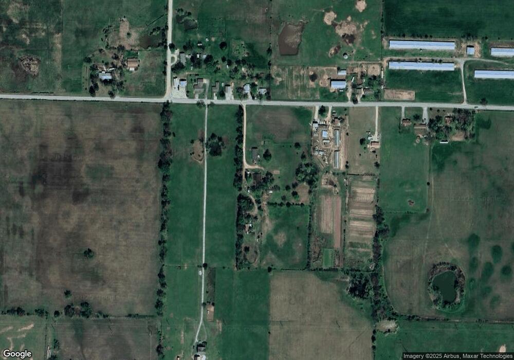
Map
Nearby Homes
- 21036 Richard Ct
- 0 Tbd Davidson Rd
- 20944 Shady Grove Rd
- 13992 Cozy Corners Rd
- 14987 S Highway 59
- 3609 N Jr Martin Dr
- 3607 N Wiley Dr
- 3605 N Wiley Dr
- 3506 N Wiley Dr
- 3503 N Wiley Dr
- 3507 N Wiley Dr
- 3606 N Wiley Dr
- 3602 N Wiley Dr
- 3700 N Wiley Dr
- 3610 N Wiley Dr
- 3508 N Wiley Dr
- 3603 N Wiley Dr
- 3501 N Wiley Dr
- 3608 N Wiley Dr
- 3604 N Wiley Dr
- 21089 Davidson Rd
- 21046 Davidson Rd
- 21118 Davidson Rd
- 21124 Davidson Rd
- 21084 Davidson Rd
- 21200 Davidson Rd
- 21073 Davidson Rd
- 14396 Cozy Corner Rd
- 21000 Davidson Rd
- 20999 Davidson Rd
- 21149 Davidson Rd
- 21304 Davidson Rd
- 20951 Davidson Rd
- 21170 Chesney Rd
- TBD(7.5 Ac Tract D E Davidson Rd
- 14341 S Highway 59
- 14312 Cozy Corner Rd
- TBD (15 Ac Tract D) Davidson Rd
- 14303 Cozy Corner Rd
- TBD (7.52 Ac - East) Cozy Corners Rd