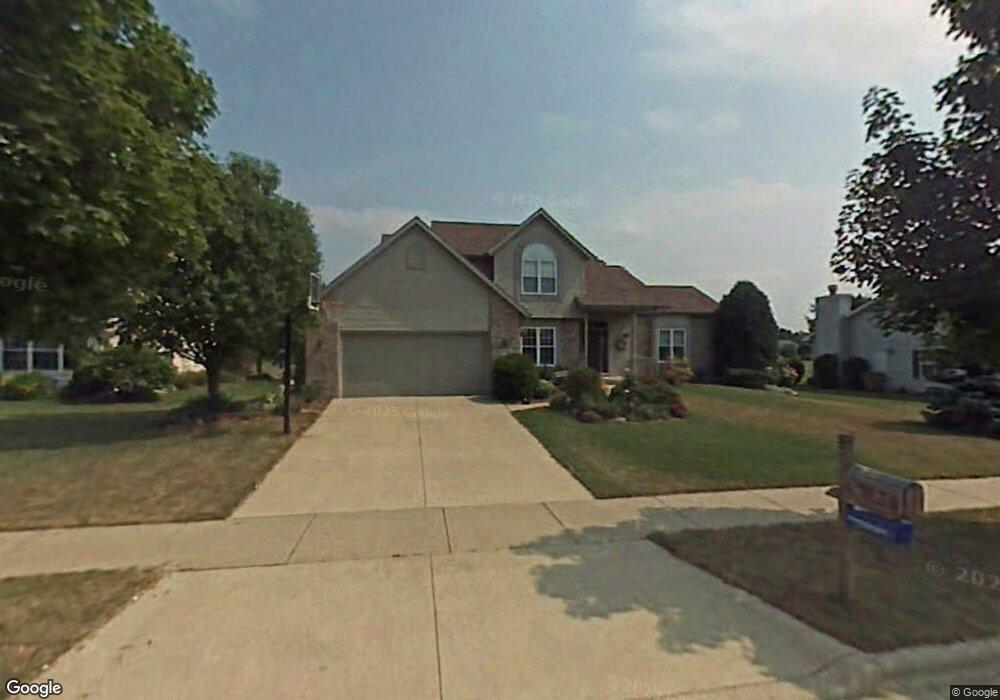
2109 Anvil Ln Madison, WI 53716
East Buckeye NeighborhoodEstimated Value: $474,429 - $508,000
3
Beds
3
Baths
2,012
Sq Ft
$247/Sq Ft
Est. Value
About This Home
This home is located at 2109 Anvil Ln, Madison, WI 53716 and is currently estimated at $496,107, approximately $246 per square foot. 2109 Anvil Ln is a home located in Dane County with nearby schools including Elvehjem Elementary School, Sennett Middle School, and La Follette High School.
Ownership History
Date
Name
Owned For
Owner Type
Purchase Details
Closed on
Apr 30, 2007
Sold by
Mcnatt Cary L and Mcnatt Brenda M
Bought by
Luedtke Thomas and Luedtke Kathleen
Current Estimated Value
Home Financials for this Owner
Home Financials are based on the most recent Mortgage that was taken out on this home.
Original Mortgage
$248,000
Outstanding Balance
$151,098
Interest Rate
6.2%
Mortgage Type
Purchase Money Mortgage
Estimated Equity
$345,009
Create a Home Valuation Report for This Property
The Home Valuation Report is an in-depth analysis detailing your home's value as well as a comparison with similar homes in the area
Home Values in the Area
Average Home Value in this Area
Purchase History
| Date | Buyer | Sale Price | Title Company |
|---|---|---|---|
| Luedtke Thomas | $315,000 | None Available |
Source: Public Records
Mortgage History
| Date | Status | Borrower | Loan Amount |
|---|---|---|---|
| Open | Luedtke Thomas | $248,000 |
Source: Public Records
Tax History Compared to Growth
Tax History
| Year | Tax Paid | Tax Assessment Tax Assessment Total Assessment is a certain percentage of the fair market value that is determined by local assessors to be the total taxable value of land and additions on the property. | Land | Improvement |
|---|---|---|---|---|
| 2024 | $15,709 | $463,600 | $85,000 | $378,600 |
| 2023 | $7,562 | $436,500 | $80,000 | $356,500 |
| 2021 | $6,947 | $341,200 | $70,700 | $270,500 |
| 2020 | $6,697 | $310,200 | $64,300 | $245,900 |
| 2019 | $6,366 | $295,400 | $61,200 | $234,200 |
| 2018 | $6,193 | $286,800 | $61,200 | $225,600 |
| 2017 | $6,154 | $273,100 | $55,600 | $217,500 |
| 2016 | $5,888 | $255,200 | $55,600 | $199,600 |
| 2015 | $5,679 | $277,000 | $55,600 | $221,400 |
| 2014 | $6,502 | $277,000 | $55,600 | $221,400 |
| 2013 | $6,541 | $277,000 | $55,600 | $221,400 |
Source: Public Records
Map
Nearby Homes
- 5726 Bellows Cir
- 5845 Oxbow Bend
- 5625 Irongate Dr
- 35 Pelican Cir
- 15 Eastridge Ct
- 1621 Droster Rd
- 1910 Vondron Rd
- 1626 Kings Mill Way Unit 310
- 1609 Ellen Ave
- 1634 Kings Mill Way Unit 308
- 1617 National Ave
- 1625 Kings Mill Way Unit 311
- 1629 Kings Mill Way Unit 312
- 1629 Kings Mill Way Unit 209
- 10 Kings Mill Cir Unit 112
- 1509 Ellen Ave
- 1510 Ellen Ave
- 6147 Dell Dr Unit 1
- 6155 Dell Dr Unit 3
- 6132 Culpepper Ln
- 2105 Anvil Ln
- 2113 Anvil Ln
- 2101 Anvil Ln
- 2117 Anvil Ln
- 2110 Anvil Ln
- 2106 Anvil Ln
- 2114 Anvil Ln
- 2102 Anvil Ln
- 2126 S Thompson Dr
- 2122 S Thompson Dr
- 2121 Anvil Ln
- 2025 Anvil Ln
- 2130 S Thompson Dr
- 2118 S Thompson Dr
- 2118 Anvil Ln
- 2022 Anvil Ln
- 2134 S Thompson Dr
- 5213 Forge Dr
- 2114 S Thompson Dr
- 5531 Woodglen Trail