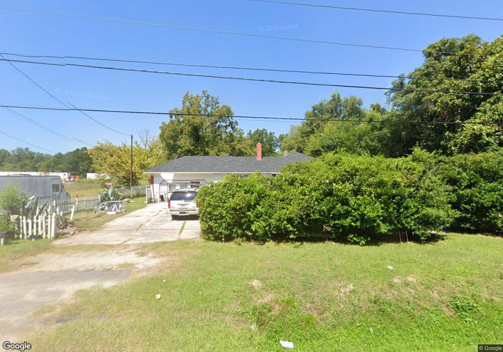
2109 Atlas Rd Columbia, SC 29209
Southeast Columbia NeighborhoodEstimated Value: $84,163 - $169,000
2
Beds
1
Bath
1,761
Sq Ft
$68/Sq Ft
Est. Value
About This Home
This home is located at 2109 Atlas Rd, Columbia, SC 29209 and is currently estimated at $120,541, approximately $68 per square foot. 2109 Atlas Rd is a home located in Richland County with nearby schools including Meadowfield Elementary School, Hand Middle School, and Dreher High School.
Ownership History
Date
Name
Owned For
Owner Type
Purchase Details
Closed on
Jul 26, 2016
Sold by
Gof Llc
Bought by
Williams Thomas
Current Estimated Value
Purchase Details
Closed on
Sep 26, 2013
Sold by
The Bank Of New York Mellon Trust Co N A
Bought by
Gof Llc
Purchase Details
Closed on
Apr 26, 2013
Sold by
Smith Laura W
Bought by
The Bank Of New York Mellon Trust Co Na and The Bank Of New York Trust Co Na
Purchase Details
Closed on
Jun 28, 2002
Sold by
Estate Of Dennis L Smith
Bought by
Smith Laura W
Create a Home Valuation Report for This Property
The Home Valuation Report is an in-depth analysis detailing your home's value as well as a comparison with similar homes in the area
Home Values in the Area
Average Home Value in this Area
Purchase History
| Date | Buyer | Sale Price | Title Company |
|---|---|---|---|
| Williams Thomas | $18,000 | None Available | |
| Gof Llc | $11,550 | None Available | |
| The Bank Of New York Mellon Trust Co Na | -- | None Available | |
| Smith Laura W | -- | -- |
Source: Public Records
Tax History Compared to Growth
Tax History
| Year | Tax Paid | Tax Assessment Tax Assessment Total Assessment is a certain percentage of the fair market value that is determined by local assessors to be the total taxable value of land and additions on the property. | Land | Improvement |
|---|---|---|---|---|
| 2024 | $592 | $9,000 | $0 | $0 |
| 2023 | $592 | $312 | $0 | $0 |
| 2022 | $1,389 | $7,800 | $6,800 | $1,000 |
| 2021 | $0 | $2,330 | $0 | $0 |
| 2020 | $1,052 | $2,330 | $0 | $0 |
| 2019 | $1,057 | $2,330 | $0 | $0 |
| 2018 | $1,036 | $2,260 | $0 | $0 |
| 2017 | $1,005 | $2,260 | $0 | $0 |
| 2016 | $986 | $2,260 | $0 | $0 |
| 2015 | $1,967 | $2,260 | $0 | $0 |
| 2014 | $1,946 | $37,600 | $0 | $0 |
| 2013 | -- | $1,500 | $0 | $0 |
Source: Public Records
Map
Nearby Homes
- 2701 Harlem St
- 1920 Harlem St
- 2520 Marathon Dr
- 4013 Tavineer Dr
- 1320 Poinsett Loop
- 2729 Harlem St
- 2808 Atlas Rd
- 4225 Camino Ct
- 3937 Bluff Rd
- 3937 Bluff Rd
- 4520 Bluff Rd
- 4604 Sheraton Rd
- 10 Reeder Point Dr
- 4656 Bluff Rd
- 4750 Bluff Rd
- 2951 Dell Dr
- 2956 Dell Dr
- 1208 Pineview Dr
- 1284 Rockwood Rd
- 1040 Coatesdale Rd
- 2105 Atlas Rd
- 1917 Joe Frazier Ct
- 1913 Joe Frazier Ct
- 1925 Joe Frazier Ct
- 1909 Joe Frazier Ct
- 1933 Joe Frazier Ct
- 1912 1912 Joe Frazier Ct
- 1912 Joe Frazier Ct
- 1928 Joe Frazier Ct
- 1937 Joe Frazier Ct
- 1932 Joe Frazier Ct
- 2112 Atlas Rd
- 2033 Atlas Rd
- 1941 Joe Frazier Ct
- 2124 Atlas Rd
- 2001 Joe Frazier Ct
- 2128 Atlas Rd
- 2044 Smith St
- 2025 Atlas Rd
- 2120 Joe Frazier Ct