2109 Bunker Ct Auburn, IN 46706
Estimated Value: $344,000 - $398,000
3
Beds
2
Baths
1,926
Sq Ft
$192/Sq Ft
Est. Value
About This Home
This home is located at 2109 Bunker Ct, Auburn, IN 46706 and is currently estimated at $369,502, approximately $191 per square foot. 2109 Bunker Ct is a home with nearby schools including DeKalb High School.
Ownership History
Date
Name
Owned For
Owner Type
Purchase Details
Closed on
May 16, 2025
Sold by
Mahnesmith Constance S
Bought by
Webb Max Todd and Webb Kristie Lee
Current Estimated Value
Home Financials for this Owner
Home Financials are based on the most recent Mortgage that was taken out on this home.
Original Mortgage
$85,000
Outstanding Balance
$82,585
Interest Rate
5.82%
Mortgage Type
New Conventional
Estimated Equity
$286,917
Purchase Details
Closed on
Jan 3, 2018
Sold by
Chapel Homes Inc
Bought by
Mahnesmith Connie S
Home Financials for this Owner
Home Financials are based on the most recent Mortgage that was taken out on this home.
Original Mortgage
$85,000
Interest Rate
3.92%
Mortgage Type
New Conventional
Create a Home Valuation Report for This Property
The Home Valuation Report is an in-depth analysis detailing your home's value as well as a comparison with similar homes in the area
Home Values in the Area
Average Home Value in this Area
Purchase History
| Date | Buyer | Sale Price | Title Company |
|---|---|---|---|
| Webb Max Todd | -- | None Listed On Document | |
| Mahnesmith Connie S | -- | None Available |
Source: Public Records
Mortgage History
| Date | Status | Borrower | Loan Amount |
|---|---|---|---|
| Open | Webb Max Todd | $85,000 | |
| Previous Owner | Mahnesmith Connie S | $85,000 |
Source: Public Records
Tax History
| Year | Tax Paid | Tax Assessment Tax Assessment Total Assessment is a certain percentage of the fair market value that is determined by local assessors to be the total taxable value of land and additions on the property. | Land | Improvement |
|---|---|---|---|---|
| 2025 | $2,887 | $363,300 | $41,500 | $321,800 |
| 2024 | $2,887 | $333,800 | $37,700 | $296,100 |
| 2023 | $2,669 | $326,000 | $36,300 | $289,700 |
| 2022 | $2,838 | $299,200 | $32,500 | $266,700 |
| 2021 | $2,807 | $285,000 | $32,500 | $252,500 |
| 2020 | $2,480 | $260,900 | $30,900 | $230,000 |
| 2019 | $2,512 | $258,700 | $30,900 | $227,800 |
| 2018 | $2,149 | $220,700 | $30,900 | $189,800 |
| 2017 | $832 | $30,900 | $30,900 | $0 |
| 2016 | $841 | $30,900 | $30,900 | $0 |
| 2014 | $927 | $30,900 | $30,900 | $0 |
Source: Public Records
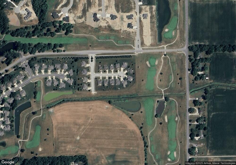
Map
Nearby Homes
- 2050 Albatross Way Unit 98
- 2054 Links Ln Unit 104
- 1404 Virginia Ln
- 1310 Katherine St
- 1314 Timber Trace
- 1800 Golfview Dr
- 1102 Hideaway Dr
- TBD County Road 40
- 1220 Turnberry Ln
- 2002 Approach Dr
- 3462 County Road 36
- 1118 Packard Place
- 1301 Superior Dr
- 3483 Indiana 8
- 549 Morningstar Rd
- 700 Brentwood Cir
- 3361 Sika Trail
- 3491 Chital Cove
- 3495 Chital Cove
- 3083 County Road 36
- 2107 Bunker Ct
- 2105 Bunker Ct
- 2113 Bunker Ct
- 2103 Bunker Ct
- 2108 Bunker Ct
- 2106 Bunker Ct
- 2112 Bunker Ct
- 2110 Bunker Ct
- 2104 Bunker Ct
- 2102 Bunker Ct
- 1915 Virginia Ln
- 1917 Virginia Ln
- 1919 Virginia Ln
- 1921 Virginia Ln
- 1911 Bent Tree Ct
- 1912 Bent Tree Ct
- 1909 Bent Tree Ct
- 1910 Bent Tree Ct
- 1907 Bent Tree Ct
- 1908 Bent Tree Ct
Your Personal Tour Guide
Ask me questions while you tour the home.