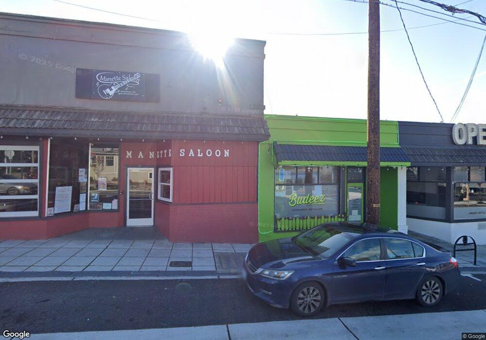
2109 E 11th St Bremerton, WA 98310
Manette Neighborhood
1
Bed
1
Bath
450
Sq Ft
7,841
Sq Ft Lot
About This Home
Property Id: 949291
Great location! Just a few blocks from the Naval Base and Shipyard. Short distance to the Seattle Ferry or college. Quiet neighborhood. This is a separate ADU with dedicated off-street parking.
Additional $75/m covers Water/Sewer/Storm. All other utilities are the tenants responsibility. Income needs to exceed 3x rent amount. No smoking. No pets. 12 month minimum lease. Best suited for a single person. 2 person occupancy limit. Please complete the pre-screening form and schedule a showing prior to submitting an application.
Ownership History
Date
Name
Owned For
Owner Type
Purchase Details
Closed on
Feb 28, 2008
Sold by
Kemp Timothy H and Kemp Patty A
Bought by
Zamzow Mauntrece and Mach Thomas
Home Financials for this Owner
Home Financials are based on the most recent Mortgage that was taken out on this home.
Original Mortgage
$457,880
Interest Rate
5.65%
Mortgage Type
Seller Take Back
Create a Home Valuation Report for This Property
The Home Valuation Report is an in-depth analysis detailing your home's value as well as a comparison with similar homes in the area
Home Values in the Area
Average Home Value in this Area
Purchase History
| Date | Buyer | Sale Price | Title Company |
|---|---|---|---|
| Zamzow Mauntrece | $629,280 | Land Title Company |
Source: Public Records
Mortgage History
| Date | Status | Borrower | Loan Amount |
|---|---|---|---|
| Closed | Zamzow Mauntrece | $457,880 |
Source: Public Records
Property History
| Date | Event | Price | List to Sale | Price per Sq Ft |
|---|---|---|---|---|
| 10/09/2025 10/09/25 | For Rent | $1,325 | -- | -- |
Tax History Compared to Growth
Tax History
| Year | Tax Paid | Tax Assessment Tax Assessment Total Assessment is a certain percentage of the fair market value that is determined by local assessors to be the total taxable value of land and additions on the property. | Land | Improvement |
|---|---|---|---|---|
| 2026 | $3,305 | $374,670 | $92,120 | $282,550 |
| 2025 | $3,305 | $374,670 | $92,120 | $282,550 |
| 2024 | $3,190 | $374,670 | $92,120 | $282,550 |
| 2023 | $3,005 | $341,440 | $92,120 | $249,320 |
| 2022 | $2,918 | $298,150 | $92,120 | $206,030 |
| 2021 | $3,534 | $330,510 | $101,330 | $229,180 |
| 2020 | $3,537 | $330,510 | $101,330 | $229,180 |
| 2019 | $3,413 | $330,510 | $104,340 | $226,170 |
| 2018 | $3,231 | $245,550 | $94,850 | $150,700 |
| 2017 | $3,214 | $245,550 | $94,850 | $150,700 |
| 2016 | $3,334 | $241,010 | $94,850 | $146,160 |
| 2015 | $3,921 | $282,120 | $87,370 | $194,750 |
| 2014 | $4,043 | $282,140 | $91,880 | $190,260 |
| 2013 | $4,447 | $324,390 | $115,990 | $208,400 |
Source: Public Records
Map
Nearby Homes
- 201 Shore Dr
- 1011 Ironsides Ave
- 1139 Pitt Ave
- 2123 E 14th St
- 1149 Wheaton Way
- 609 Shore Dr
- 1157 Wheaton Way
- 2013 E 16th St
- 1021 Shore Dr
- 191 x Nipsic Ave
- 192 x Nipsic Ave
- 190 x Nipsic Ave
- 110 11th Street Place
- 400 Washington Ave Unit 115
- 400 Washington Ave Unit 103
- 114 11th Street Place
- 952 Highland Ave
- 2309 Terrace St
- 912 Pleasant Ave
- 320 Washington Ave Unit C602
- 2113 E 11th St
- 1103 Scott Ave
- 1007 Scott Ave
- 2100 E 11th St
- 1104 Pitt Ave
- 1109 Scott Ave
- 112 Shore Dr
- 1014 Scott Ave
- 1108 Pitt Ave
- 1101 Pitt Ave
- 1101 Pitt Ave Unit 1
- 1101 Pitt Ave Unit 3
- 1008 Scott Ave
- 114 Shore Dr
- 0 E 10th St Unit NWM1990315
- 1110 Pitt Ave
- 1105 Pitt Ave
- 1113 Scott Ave
- 1004 Scott Ave
- 2015 Harkins St