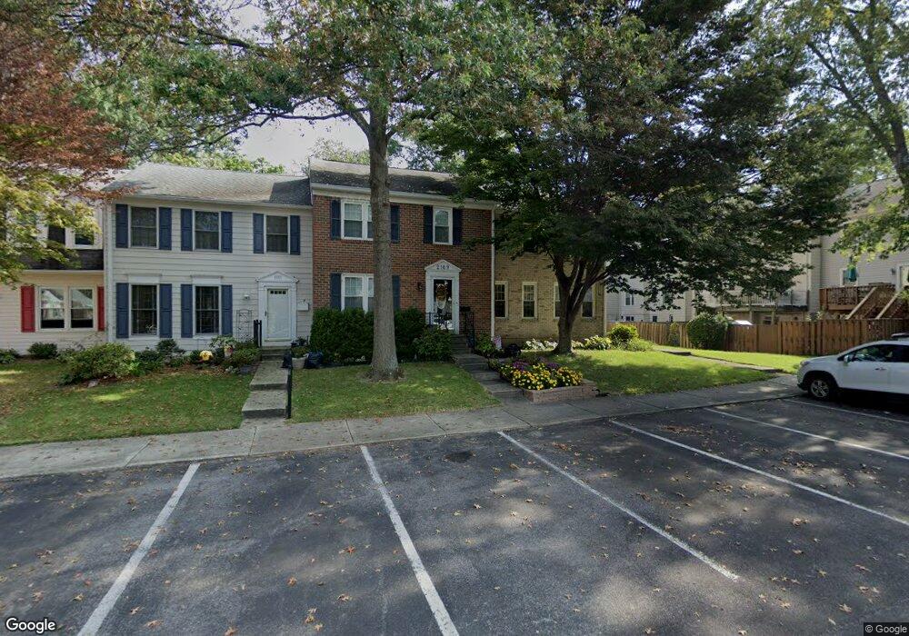
2109 Lang Dr Crofton, MD 21114
Estimated Value: $403,000 - $442,000
Studio
4
Baths
1,408
Sq Ft
$303/Sq Ft
Est. Value
About This Home
This home is located at 2109 Lang Dr, Crofton, MD 21114 and is currently estimated at $426,575, approximately $302 per square foot. 2109 Lang Dr is a home located in Anne Arundel County with nearby schools including Crofton Woods Elementary School, Crofton Middle School, and Crofton High School.
Ownership History
Date
Name
Owned For
Owner Type
Purchase Details
Closed on
Oct 17, 2025
Sold by
Jackson Cheryl H
Bought by
Cheryl H Jackson Trust and Jackson
Current Estimated Value
Purchase Details
Closed on
Aug 9, 2006
Sold by
Dorman Robert
Bought by
Jackson Cheryl H
Home Financials for this Owner
Home Financials are based on the most recent Mortgage that was taken out on this home.
Original Mortgage
$227,000
Interest Rate
6.8%
Mortgage Type
Purchase Money Mortgage
Purchase Details
Closed on
Jul 27, 2006
Sold by
Dorman Robert
Bought by
Jackson Cheryl H
Home Financials for this Owner
Home Financials are based on the most recent Mortgage that was taken out on this home.
Original Mortgage
$227,000
Interest Rate
6.8%
Mortgage Type
Purchase Money Mortgage
Purchase Details
Closed on
Jan 16, 1997
Sold by
Kommers Richard W
Bought by
Dorman Robert and Dorman Kim M
Create a Home Valuation Report for This Property
The Home Valuation Report is an in-depth analysis detailing your home's value as well as a comparison with similar homes in the area
Home Values in the Area
Average Home Value in this Area
Purchase History
| Date | Buyer | Sale Price | Title Company |
|---|---|---|---|
| Cheryl H Jackson Trust | -- | None Listed On Document | |
| Jackson Cheryl H | $349,900 | -- | |
| Jackson Cheryl H | $349,900 | -- | |
| Dorman Robert | $127,000 | -- |
Source: Public Records
Mortgage History
| Date | Status | Borrower | Loan Amount |
|---|---|---|---|
| Previous Owner | Jackson Cheryl H | $227,000 | |
| Previous Owner | Jackson Cheryl H | $227,000 | |
| Closed | Dorman Robert | -- |
Source: Public Records
Tax History
| Year | Tax Paid | Tax Assessment Tax Assessment Total Assessment is a certain percentage of the fair market value that is determined by local assessors to be the total taxable value of land and additions on the property. | Land | Improvement |
|---|---|---|---|---|
| 2025 | $3,303 | $348,167 | -- | -- |
| 2024 | $3,303 | $327,333 | $0 | $0 |
| 2023 | $3,213 | $306,500 | $170,000 | $136,500 |
| 2022 | $3,022 | $306,167 | $0 | $0 |
| 2020 | $2,921 | $305,500 | $170,000 | $135,500 |
| 2019 | $2,861 | $294,167 | $0 | $0 |
| 2018 | $2,868 | $282,833 | $0 | $0 |
| 2017 | $2,665 | $271,500 | $0 | $0 |
| 2016 | -- | $261,600 | $0 | $0 |
| 2015 | -- | $251,700 | $0 | $0 |
| 2014 | -- | $241,800 | $0 | $0 |
Source: Public Records
Map
Nearby Homes
- 1762 Lang Dr
- 1426 Knights Bridge Turn
- 1822 Foxdale Ct
- 1753 Castleford Square
- 2059 Happy Ln Unit E
- 2004 Cambridge Dr
- 1555 Crofton Pkwy
- 1860 Yeoman Ct
- 1683 Hart Ct
- 1306 Persimmontree Ct
- 1910 Seven Oaks Terrace
- 1629 Eton Way
- 1581 Crofton Pkwy
- 1734 Dana St
- 1648 New Windsor Ct
- 1697 Barrister Ct
- 1928 Tilghman Dr
- 1681 Yorktown Ct
- 1683 Fallowfield Ct
- 1687 Fallowfield Ct
Your Personal Tour Guide
Ask me questions while you tour the home.