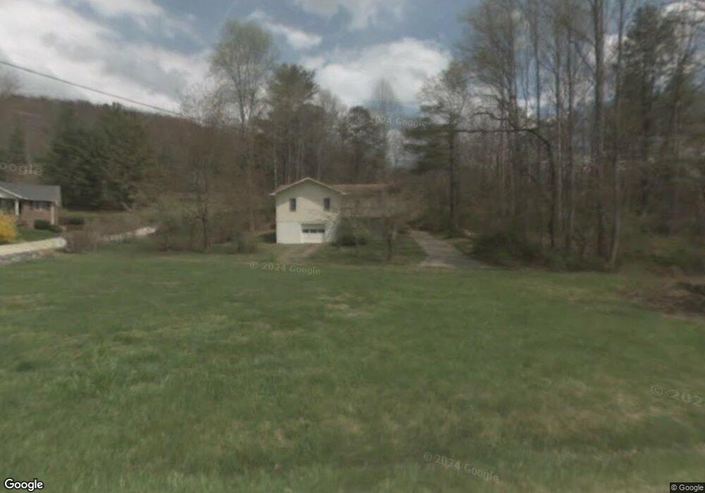
2109 N Fork Right Fork Black Mountain, NC 28711
Estimated Value: $428,580 - $506,000
3
Beds
2
Baths
1,104
Sq Ft
$415/Sq Ft
Est. Value
About This Home
This home is located at 2109 N Fork Right Fork, Black Mountain, NC 28711 and is currently estimated at $457,645, approximately $414 per square foot. 2109 N Fork Right Fork is a home located in Buncombe County with nearby schools including Black Mountain Primary, Black Mountain Elementary School, and Charles D. Owen Middle School.
Ownership History
Date
Name
Owned For
Owner Type
Purchase Details
Closed on
Sep 27, 2019
Sold by
Landis Kenneth E
Bought by
Felder Nathaniel
Current Estimated Value
Home Financials for this Owner
Home Financials are based on the most recent Mortgage that was taken out on this home.
Original Mortgage
$246,500
Outstanding Balance
$219,628
Interest Rate
4.37%
Mortgage Type
Adjustable Rate Mortgage/ARM
Estimated Equity
$238,017
Purchase Details
Closed on
May 11, 1993
Sold by
Landin Kenneth
Bought by
Landin
Create a Home Valuation Report for This Property
The Home Valuation Report is an in-depth analysis detailing your home's value as well as a comparison with similar homes in the area
Home Values in the Area
Average Home Value in this Area
Purchase History
| Date | Buyer | Sale Price | Title Company |
|---|---|---|---|
| Felder Nathaniel | $244,500 | None Available | |
| Landin | -- | -- |
Source: Public Records
Mortgage History
| Date | Status | Borrower | Loan Amount |
|---|---|---|---|
| Open | Felder Nathaniel | $246,500 |
Source: Public Records
Tax History Compared to Growth
Tax History
| Year | Tax Paid | Tax Assessment Tax Assessment Total Assessment is a certain percentage of the fair market value that is determined by local assessors to be the total taxable value of land and additions on the property. | Land | Improvement |
|---|---|---|---|---|
| 2025 | $1,544 | $247,300 | $33,700 | $213,600 |
| 2024 | $1,544 | $247,300 | $48,700 | $198,600 |
| 2023 | $1,544 | $247,300 | $48,700 | $198,600 |
| 2022 | $1,471 | $247,300 | $48,700 | $198,600 |
| 2021 | $1,471 | $247,300 | $0 | $0 |
| 2020 | $1,210 | $186,500 | $0 | $0 |
| 2019 | $1,296 | $199,700 | $0 | $0 |
| 2018 | $1,296 | $199,700 | $0 | $0 |
| 2017 | $1,274 | $159,700 | $0 | $0 |
| 2016 | $1,123 | $159,700 | $0 | $0 |
| 2015 | $1,123 | $159,700 | $0 | $0 |
| 2014 | $1,123 | $159,700 | $0 | $0 |
Source: Public Records
Map
Nearby Homes
- 37 Wood Robin Ln
- 409 N Fork Rd
- 609 N Fork Rd
- 124 Richard Ln
- 365 N Fork Rd
- 5 Old Cove Rd
- 3B Lynx Dr
- 1A Lynx Dr Unit A
- 215 David Ridge Rd
- 36 Lynx Dr
- 12 White Oak Trail
- 206 Crestview Dr
- 106 Jeanie Ave
- 200 Allen Mountain Dr
- 101 Jeanie Ave
- 387 Chapel Rd
- 228 Allen Mountain Dr
- 25 W Keesler St
- Lot 2 Chinquapin Hill
- TBD Carolina Heights Unit Tracts B, C & D
- 2109 N Fork-Right Fork Rd
- 4 Pear Hill Rd
- 2099 N Fork Right Fork
- 10 Pear Hill Rd
- 2115 N Fork Right Fork
- 2108 N Fork Right Fork
- 20 Bitter Creek Trail
- 5 Bitter Creek Trail
- 11 Bitter Creek Trail
- 2132 N Fork Right Fork Rd
- 2157 N Fork Right Fork
- 2159 N Fork Right Fork
- 2159 N Fork-Right Fork Rd
- 2060 N Fork Right Fork
- 516 N Fork Rd
- 2159 N Fork Right Fork Rd
- 508 N Fork Rd
- 2195 N Fork Right Fork
- 2059 N Fork Right Fork
- 2053 N Fork Right Fork