2109 Rockmart Hwy Cedartown, GA 30125
Estimated Value: $156,000 - $272,000
3
Beds
2
Baths
1,358
Sq Ft
$163/Sq Ft
Est. Value
About This Home
This home is located at 2109 Rockmart Hwy, Cedartown, GA 30125 and is currently estimated at $221,266, approximately $162 per square foot. 2109 Rockmart Hwy is a home located in Polk County with nearby schools including Cedar Christian School and Vineyard Harvester Christian Academy.
Ownership History
Date
Name
Owned For
Owner Type
Purchase Details
Closed on
Mar 17, 2018
Sold by
Whatley Billie R
Bought by
Whatley Richard Brian and Tillery Vicki Whatley
Current Estimated Value
Purchase Details
Closed on
Nov 27, 2013
Sold by
Whatley Billie R
Bought by
Whatley Billie R
Purchase Details
Closed on
Apr 14, 1964
Sold by
Odom John A
Bought by
Whatley Whatley F and Whatley Billy*
Purchase Details
Closed on
Sep 1, 1954
Bought by
Odom John A
Create a Home Valuation Report for This Property
The Home Valuation Report is an in-depth analysis detailing your home's value as well as a comparison with similar homes in the area
Home Values in the Area
Average Home Value in this Area
Purchase History
| Date | Buyer | Sale Price | Title Company |
|---|---|---|---|
| Whatley Richard Brian | -- | -- | |
| Whatley Billie R | -- | -- | |
| Whatley Whatley F | -- | -- | |
| Odom John A | -- | -- |
Source: Public Records
Tax History Compared to Growth
Tax History
| Year | Tax Paid | Tax Assessment Tax Assessment Total Assessment is a certain percentage of the fair market value that is determined by local assessors to be the total taxable value of land and additions on the property. | Land | Improvement |
|---|---|---|---|---|
| 2024 | $1,553 | $74,279 | $8,037 | $66,242 |
| 2023 | $1,209 | $50,957 | $8,037 | $42,920 |
| 2022 | $1,007 | $42,441 | $5,358 | $37,083 |
| 2021 | $1,020 | $42,441 | $5,358 | $37,083 |
| 2020 | $1,022 | $42,441 | $5,358 | $37,083 |
| 2019 | $824 | $30,687 | $5,358 | $25,329 |
| 2018 | $427 | $28,845 | $5,358 | $23,487 |
| 2017 | $418 | $28,845 | $5,358 | $23,487 |
| 2016 | $430 | $29,298 | $5,811 | $23,487 |
| 2015 | $432 | $29,376 | $5,811 | $23,565 |
| 2014 | $435 | $29,376 | $5,811 | $23,565 |
Source: Public Records
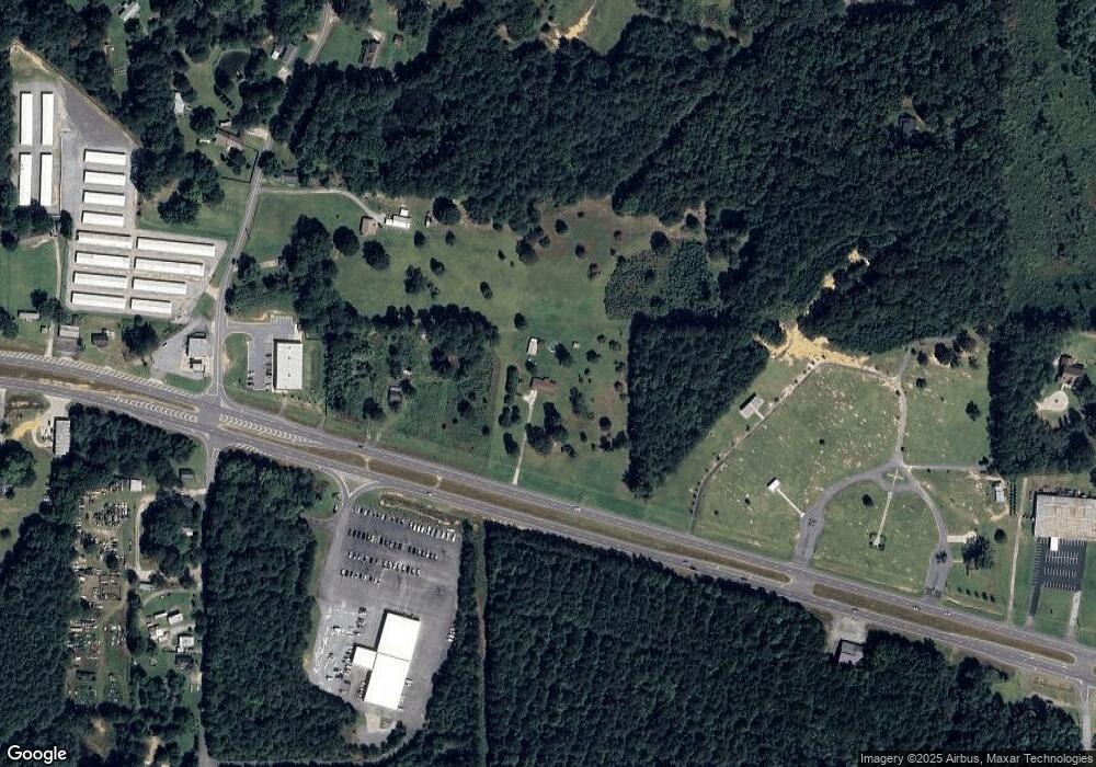
Map
Nearby Homes
- 200 Kelly Rd
- 387 Lindsey Chapel Rd
- 256 Cuzzort Rd
- 728 Hutto Rd
- 1522 Collard Valley Rd
- 0 Blanche Rd Unit 10609468
- 0 Blanche Rd Unit 7652978
- 94 Wimberly Hill Loop
- 618 Valley Rd
- 660 Valley Rd
- 645 Valley Rd
- 209 Ridgewood Rd
- 202 Ridgewood Rd
- 662 Hillside Dr
- 10 Woodglen Dr
- 12 Breckenridge Dr
- 77 Ben Dr W
- 0 Coaling Rd Unit 9221-D 10352096
- 0 Coaling Rd Unit 9221-C 10352086
- 0 Coaling Rd Unit 9221 10352063
- 2069 Rockmart Hwy
- 2059 Rockmart Hwy
- 66 Lindsey Chapel Rd
- 78 Lindsey Chapel Rd
- 0 Hutto Rd Unit 8255727
- 0 Hutto Rd Unit 5905810
- 0 Hutto Rd Unit 5889481
- 0 Hutto Rd Unit 3263360
- 0 Hutto Rd Unit 814 7190277
- 0 Hutto Rd
- 0 Hutto Rd Unit 10251883
- 0 Hutto Rd Unit 7336304
- 0 Hutto Rd Unit 8035588
- 0 Hutto Rd Unit 7192024
- 0 Hutto Rd Unit 7619690
- 0 Hutto Rd Unit 8060319
- 0 Hutto Rd Unit 8161024
- 0 Hutto Rd Unit 8161004
- 0 Hutto Rd Unit 8454464
- 48 Hutto Rd