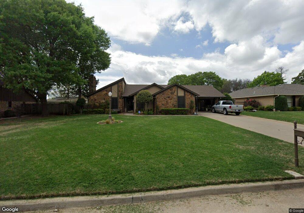
2109 W Club Rd Duncan, OK 73533
Estimated Value: $227,143 - $250,000
3
Beds
2
Baths
1,864
Sq Ft
$127/Sq Ft
Est. Value
About This Home
This home is located at 2109 W Club Rd, Duncan, OK 73533 and is currently estimated at $237,536, approximately $127 per square foot. 2109 W Club Rd is a home located in Stephens County with nearby schools including Plato Elementary School, Duncan Middle School, and Duncan High School.
Ownership History
Date
Name
Owned For
Owner Type
Purchase Details
Closed on
Aug 1, 2019
Sold by
Elkins Bess L
Bought by
Elkins Bess L and Wilsford Lori A
Current Estimated Value
Purchase Details
Closed on
Dec 1, 2011
Sold by
Dean James T and Dean Carla L
Bought by
Elkins Carroll Gene and Elkins Bess L
Purchase Details
Closed on
Aug 31, 2009
Sold by
Richey Frankie Nell
Bought by
Dean James T and Dean Carla L
Purchase Details
Closed on
Apr 26, 2004
Sold by
Richey Pat Louis
Purchase Details
Closed on
Jun 15, 1990
Create a Home Valuation Report for This Property
The Home Valuation Report is an in-depth analysis detailing your home's value as well as a comparison with similar homes in the area
Home Values in the Area
Average Home Value in this Area
Purchase History
| Date | Buyer | Sale Price | Title Company |
|---|---|---|---|
| Elkins Bess L | -- | None Available | |
| Elkins Carroll Gene | $162,000 | None Available | |
| Dean James T | $160,000 | Stewart Abstract & Title Of | |
| -- | -- | -- | |
| -- | $3,500 | -- |
Source: Public Records
Tax History Compared to Growth
Tax History
| Year | Tax Paid | Tax Assessment Tax Assessment Total Assessment is a certain percentage of the fair market value that is determined by local assessors to be the total taxable value of land and additions on the property. | Land | Improvement |
|---|---|---|---|---|
| 2025 | $1,441 | $18,081 | $1,144 | $16,937 |
| 2024 | $1,455 | $18,081 | $1,355 | $16,726 |
| 2023 | $1,455 | $18,081 | $1,436 | $16,645 |
| 2022 | $1,452 | $18,081 | $1,470 | $16,611 |
| 2021 | $1,454 | $18,081 | $1,578 | $16,503 |
| 2020 | $1,475 | $18,081 | $1,508 | $16,573 |
| 2019 | $1,478 | $18,081 | $1,570 | $16,511 |
| 2018 | $1,521 | $18,081 | $1,740 | $16,341 |
| 2017 | $1,468 | $18,081 | $1,723 | $16,358 |
| 2016 | $1,407 | $17,554 | $1,789 | $15,765 |
| 2015 | $1,478 | $17,554 | $1,789 | $15,765 |
| 2014 | $1,478 | $17,554 | $1,789 | $15,765 |
Source: Public Records
Map
Nearby Homes
- 2201 W Club Rd
- 2110 W Club Rd
- 1706 Windsor Dr
- 1108 W Plato Rd Unit 29
- 1108 W Plato Rd Unit 1
- 2106 Carolin Dr
- 1108 1108 W Plato Unit 40
- 1108 1108 W Plato Unit 17
- 1601 1601 Pearl
- 1527 1527 N 13th
- 1927 High Meadow Dr
- 2518 Wildwood Place
- 0 Townsend St
- 2021 Overland Dr
- 1404 1404 Ne Aspen
- 1014 Oakview Dr
- 28 Canterbury Ln
- 1705 Foxboro Dr
- 2702 2702 Wildwood Place
- 30 Canterbury Ln