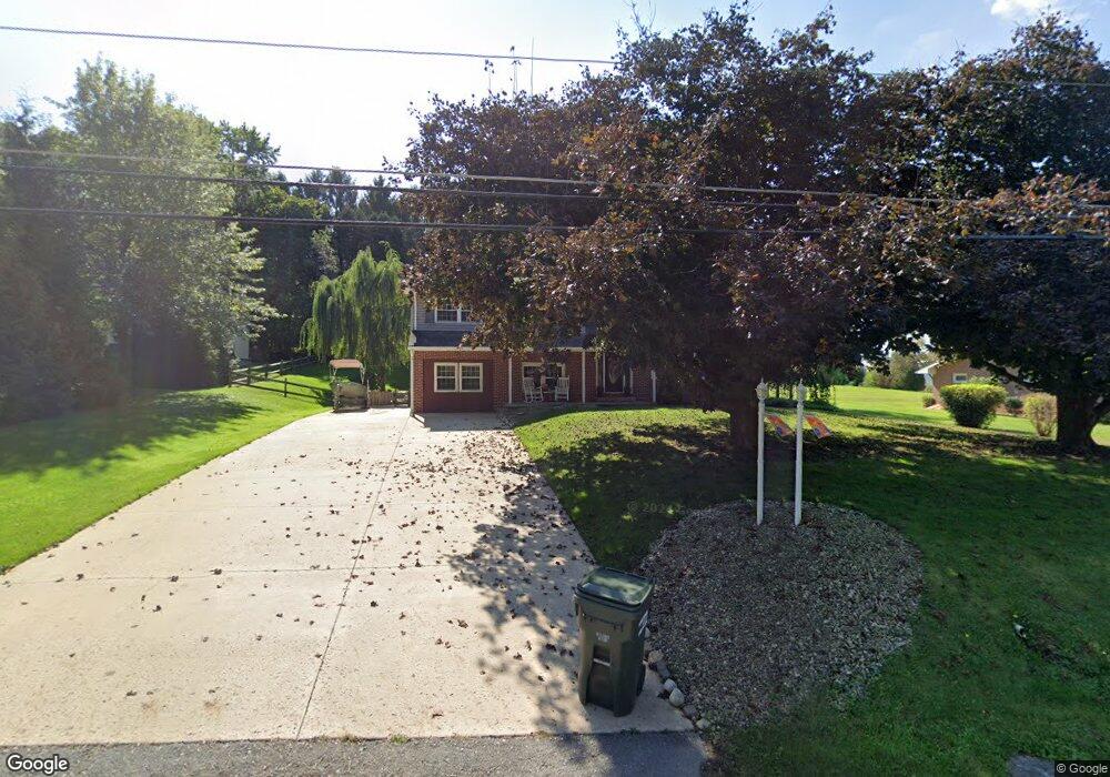
2109 W Sassafras St Selinsgrove, PA 17870
Estimated Value: $243,000 - $281,699
--
Bed
--
Bath
--
Sq Ft
0.43
Acres
About This Home
This home is located at 2109 W Sassafras St, Selinsgrove, PA 17870 and is currently estimated at $266,425. 2109 W Sassafras St is a home located in Snyder County with nearby schools including Selinsgrove Intermediate School, Selinsgrove Area Elementary School, and Selinsgrove Area Middle School.
Ownership History
Date
Name
Owned For
Owner Type
Purchase Details
Closed on
Jul 7, 2021
Sold by
Demchak Jonathan L
Bought by
Miller Makayla Aaron and Fisher Michael Charles
Current Estimated Value
Home Financials for this Owner
Home Financials are based on the most recent Mortgage that was taken out on this home.
Original Mortgage
$209,000
Outstanding Balance
$189,635
Interest Rate
2.9%
Mortgage Type
New Conventional
Estimated Equity
$76,790
Create a Home Valuation Report for This Property
The Home Valuation Report is an in-depth analysis detailing your home's value as well as a comparison with similar homes in the area
Home Values in the Area
Average Home Value in this Area
Purchase History
| Date | Buyer | Sale Price | Title Company |
|---|---|---|---|
| Miller Makayla Aaron | $220,000 | None Available |
Source: Public Records
Mortgage History
| Date | Status | Borrower | Loan Amount |
|---|---|---|---|
| Open | Miller Makayla Aaron | $209,000 |
Source: Public Records
Tax History Compared to Growth
Tax History
| Year | Tax Paid | Tax Assessment Tax Assessment Total Assessment is a certain percentage of the fair market value that is determined by local assessors to be the total taxable value of land and additions on the property. | Land | Improvement |
|---|---|---|---|---|
| 2025 | $2,504 | $26,320 | $2,430 | $23,890 |
| 2024 | $2,430 | $26,320 | $2,430 | $23,890 |
| 2023 | $614 | $26,320 | $2,430 | $23,890 |
| 2022 | $2,311 | $26,320 | $2,430 | $23,890 |
| 2021 | $2,311 | $26,320 | $2,430 | $23,890 |
| 2020 | $2,311 | $26,320 | $2,430 | $23,890 |
| 2019 | $2,311 | $26,320 | $2,430 | $23,890 |
| 2018 | $2,311 | $26,320 | $2,430 | $23,890 |
| 2017 | $2,285 | $26,320 | $2,430 | $23,890 |
| 2016 | $574 | $26,320 | $2,430 | $23,890 |
| 2015 | $52,147 | $26,320 | $2,430 | $23,890 |
| 2014 | $52,147 | $26,320 | $2,430 | $23,890 |
Source: Public Records
Map
Nearby Homes
- 321 Pleasant Dr
- 456 State School Rd
- 732 Salem Rd
- 104 18th St
- Lot 1 522 Route S
- 21 Calvett Place
- 0 Wedgewood Dr
- 2620 Route 35
- 20 Quarry Rd
- 207 Orange St Unit 209
- 2 Victory Ln
- 501 N 9th St
- 1211 Foxboro Rd
- 85 Old Colony Rd
- 500 N Orange St
- 722 N 8th St
- 301 E Walnut St
- 223 E Pine St
- 301 E Pine St
- PARCEL 5 Freeburg Rd
- 2085 W Sassafras St
- 2108 W Sassafras St
- 1209 Clifford Rd
- 2136 W Sassafras St
- 2082 W Sassafras St
- 2049 W Sassafras St
- 2062 W Sassafras St
- 2168 W Sassafras St
- 0 Clifford Rd
- 555 Clifford Rd
- 1245 Clifford Rd
- 2036 W Sassafras St
- 2019 W Sassafras St
- 2004 W Sassafras St
- 1999 W Sassafras St
- 1273 Clifford Rd
- 1973 W Sassafras St
- 1976 W Sassafras St
- 1953 W Sassafras St
- 1938 W Sassafras St