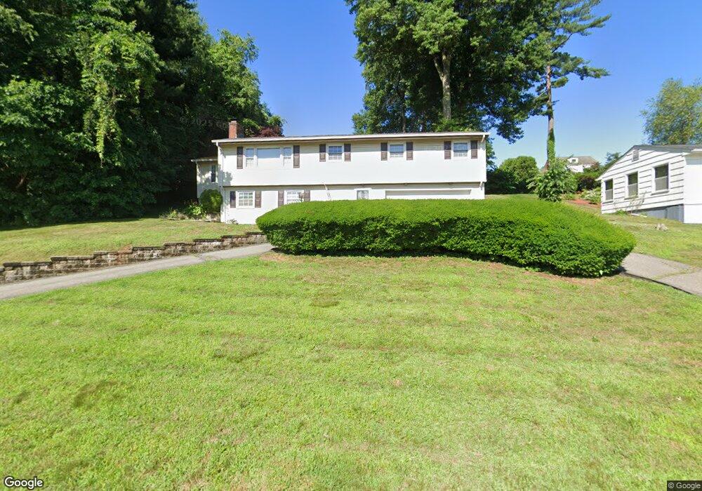
211 Amherst St Wethersfield, CT 06109
Estimated Value: $402,000 - $426,000
3
Beds
3
Baths
1,444
Sq Ft
$286/Sq Ft
Est. Value
About This Home
This home is located at 211 Amherst St, Wethersfield, CT 06109 and is currently estimated at $413,553, approximately $286 per square foot. 211 Amherst St is a home located in Hartford County with nearby schools including Emerson-Williams School, Silas Deane Middle School, and Wethersfield High School.
Ownership History
Date
Name
Owned For
Owner Type
Purchase Details
Closed on
Dec 14, 2022
Sold by
Pasquaretta Joseph J
Bought by
Pasquaretta Joseph J and Pasquaretta Lisa M
Current Estimated Value
Purchase Details
Closed on
Feb 29, 1996
Sold by
Fitzgibbon Walter J and Fitzgibbon Beverly G
Bought by
Pasquaretta Joseph
Home Financials for this Owner
Home Financials are based on the most recent Mortgage that was taken out on this home.
Original Mortgage
$136,000
Interest Rate
7.02%
Mortgage Type
Purchase Money Mortgage
Create a Home Valuation Report for This Property
The Home Valuation Report is an in-depth analysis detailing your home's value as well as a comparison with similar homes in the area
Home Values in the Area
Average Home Value in this Area
Purchase History
| Date | Buyer | Sale Price | Title Company |
|---|---|---|---|
| Pasquaretta Joseph J | -- | None Available | |
| Pasquaretta Joseph | $166,000 | -- |
Source: Public Records
Mortgage History
| Date | Status | Borrower | Loan Amount |
|---|---|---|---|
| Previous Owner | Pasquaretta Joseph | $20,000 | |
| Previous Owner | Pasquaretta Joseph | $18,000 | |
| Previous Owner | Pasquaretta Joseph | $136,000 |
Source: Public Records
Tax History
| Year | Tax Paid | Tax Assessment Tax Assessment Total Assessment is a certain percentage of the fair market value that is determined by local assessors to be the total taxable value of land and additions on the property. | Land | Improvement |
|---|---|---|---|---|
| 2025 | $10,147 | $246,170 | $72,830 | $173,340 |
| 2024 | $7,311 | $169,150 | $72,100 | $97,050 |
| 2023 | $7,067 | $169,150 | $72,100 | $97,050 |
| 2022 | $6,949 | $169,150 | $72,100 | $97,050 |
| 2021 | $6,879 | $169,150 | $72,100 | $97,050 |
| 2020 | $6,883 | $169,150 | $72,100 | $97,050 |
| 2019 | $6,891 | $169,150 | $72,100 | $97,050 |
| 2018 | $6,961 | $170,700 | $72,100 | $98,600 |
| 2017 | $6,789 | $170,700 | $72,100 | $98,600 |
| 2016 | $6,151 | $159,600 | $72,100 | $87,500 |
| 2015 | $6,095 | $159,600 | $72,100 | $87,500 |
| 2014 | $5,864 | $159,600 | $72,100 | $87,500 |
Source: Public Records
Map
Nearby Homes
- 273 Forest Dr
- 173 Timber Trail
- 20 Forest Dr
- 47 Forest Dr
- 97 Brussels Ave
- 116 Wells Farm Dr
- 19 Albert Ave
- 1310 Berlin Turnpike Unit 223
- 104 Willow St
- 90 Goodwin Park Rd
- 219 Jordan Ln Unit 221
- 137 Dale Rd
- 12 Bates Place
- 455 Brimfield Rd
- 7 Barrington Dr Unit C
- 70 Stillman Rd
- 208 Mountain St
- 168 Hubbard Rd
- 87 Somerset St
- 91 Somerset St
Your Personal Tour Guide
Ask me questions while you tour the home.