211 Asa Trail Waynesville, NC 28785
Estimated Value: $663,000 - $927,000
3
Beds
4
Baths
3,400
Sq Ft
$243/Sq Ft
Est. Value
About This Home
This home is located at 211 Asa Trail, Waynesville, NC 28785 and is currently estimated at $825,423, approximately $242 per square foot. 211 Asa Trail is a home located in Haywood County with nearby schools including Jonathan Valley Elementary School, Waynesville Middle, and Tuscola High.
Ownership History
Date
Name
Owned For
Owner Type
Purchase Details
Closed on
Sep 14, 2023
Sold by
Kichak John Paul and Kichak Jewel Baines
Bought by
Kichak Family Trust and Kichak
Current Estimated Value
Purchase Details
Closed on
Mar 11, 2010
Sold by
Muirhead Walter S and Muirhead Shelda
Bought by
Kichak John Paul and Kichak Jewel Baines
Home Financials for this Owner
Home Financials are based on the most recent Mortgage that was taken out on this home.
Original Mortgage
$315,000
Interest Rate
4.97%
Mortgage Type
New Conventional
Purchase Details
Closed on
Nov 18, 2005
Sold by
Michael Lewis Inc
Bought by
Muirhead Walter S and Muirhead Shelda
Home Financials for this Owner
Home Financials are based on the most recent Mortgage that was taken out on this home.
Original Mortgage
$232,000
Interest Rate
5.9%
Mortgage Type
Construction
Create a Home Valuation Report for This Property
The Home Valuation Report is an in-depth analysis detailing your home's value as well as a comparison with similar homes in the area
Home Values in the Area
Average Home Value in this Area
Purchase History
| Date | Buyer | Sale Price | Title Company |
|---|---|---|---|
| Kichak Family Trust | -- | None Listed On Document | |
| Kichak John Paul | $424,000 | None Available | |
| Muirhead Walter S | $69,000 | None Available |
Source: Public Records
Mortgage History
| Date | Status | Borrower | Loan Amount |
|---|---|---|---|
| Previous Owner | Kichak John Paul | $315,000 | |
| Previous Owner | Muirhead Walter S | $232,000 |
Source: Public Records
Tax History Compared to Growth
Tax History
| Year | Tax Paid | Tax Assessment Tax Assessment Total Assessment is a certain percentage of the fair market value that is determined by local assessors to be the total taxable value of land and additions on the property. | Land | Improvement |
|---|---|---|---|---|
| 2025 | -- | $493,300 | $50,000 | $443,300 |
| 2024 | $3,276 | $502,800 | $50,000 | $452,800 |
| 2023 | $3,201 | $502,800 | $50,000 | $452,800 |
| 2022 | $3,201 | $502,800 | $50,000 | $452,800 |
| 2021 | $3,201 | $502,800 | $50,000 | $452,800 |
| 2020 | $2,765 | $397,800 | $50,000 | $347,800 |
| 2019 | $2,770 | $397,800 | $50,000 | $347,800 |
| 2018 | $2,770 | $397,800 | $50,000 | $347,800 |
| 2017 | $2,770 | $397,800 | $0 | $0 |
| 2016 | $2,790 | $412,900 | $0 | $0 |
| 2015 | $2,790 | $412,900 | $0 | $0 |
| 2014 | $2,616 | $412,900 | $0 | $0 |
Source: Public Records
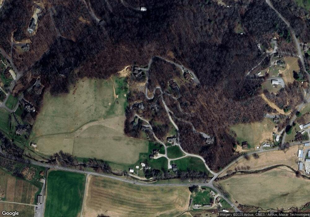
Map
Nearby Homes
- 0 Cradling Cove Unit 3
- 0 Asa Trail
- Lot 23 Asa Trail
- 64 Cradling Cove
- Lot 17 Covered Bridge Trail Unit 17
- Lot 24 Covered Bridge Trail Unit 24
- 85 Garnet Spring Ln
- 00 Buckeye Dr Unit 35
- 99999 Molasses Way Unit 18
- 443 Cedarwood Dr
- 269 Oakstone Dr
- 367 Biodome Dr
- 000 Songbird Trail
- 150 Sorghum Dr
- 31 Windsong Dr
- 000 Roaring Creek Ln
- 284 Aqua Vista Loop
- 25 Summer Place Dr
- 61 Calm Creek Rd
- 71 Flat Creek Dr
- 000 Cranberry Unit 15
- 000 Cranberry Unit 14
- Lot 14 Cranberry Ln Unit 14
- 170 Cradling Cove
- 00 Asa Trail
- 143 Asa Trail
- 143 Asa Trail Unit 23
- Lot 15 Hermits Ln
- 124 Cradling Cove Unit 6
- Lot 15 Cranberry Ln Unit 15
- Lot 15 Cranberry Ln
- Lot#21 Hermits Ln
- LOT 21 Hermits Ln
- LOT 21 Hermits Ln Unit 21
- Lot #21 Hermits Ln
- 33 Hermits Ln
- 107 Cradling Cove
- 00 Cradling Cove Unit 2
- 00 Cradling Cove Unit 1
- 151 Cradling Cove