211 Ash St Weston, MA 02493
Estimated Value: $4,326,000 - $9,414,000
4
Beds
7
Baths
6,907
Sq Ft
$1,003/Sq Ft
Est. Value
About This Home
This home is located at 211 Ash St, Weston, MA 02493 and is currently estimated at $6,930,115, approximately $1,003 per square foot. 211 Ash St is a home located in Middlesex County with nearby schools including Country Elementary School, Woodland Elementary School, and Field Elementary School.
Ownership History
Date
Name
Owned For
Owner Type
Purchase Details
Closed on
Mar 28, 2008
Sold by
Edward W Weld Ret and Weld Alexander B
Bought by
Gieselman Scott A
Current Estimated Value
Home Financials for this Owner
Home Financials are based on the most recent Mortgage that was taken out on this home.
Original Mortgage
$1,500,000
Interest Rate
5.76%
Mortgage Type
Purchase Money Mortgage
Purchase Details
Closed on
May 6, 1988
Sold by
Est Elizabeth Weld
Bought by
Weld Edward W
Create a Home Valuation Report for This Property
The Home Valuation Report is an in-depth analysis detailing your home's value as well as a comparison with similar homes in the area
Home Values in the Area
Average Home Value in this Area
Purchase History
| Date | Buyer | Sale Price | Title Company |
|---|---|---|---|
| Gieselman Scott A | $4,000,000 | -- | |
| Weld Edward W | $955,000 | -- |
Source: Public Records
Mortgage History
| Date | Status | Borrower | Loan Amount |
|---|---|---|---|
| Open | Weld Edward W | $1,135,000 | |
| Closed | Weld Edward W | $1,300,000 | |
| Closed | Gieselman Scott A | $1,500,000 |
Source: Public Records
Tax History
| Year | Tax Paid | Tax Assessment Tax Assessment Total Assessment is a certain percentage of the fair market value that is determined by local assessors to be the total taxable value of land and additions on the property. | Land | Improvement |
|---|---|---|---|---|
| 2025 | $97,032 | $8,741,600 | $3,560,400 | $5,181,200 |
| 2024 | $94,431 | $8,492,000 | $3,560,400 | $4,931,600 |
| 2023 | $95,170 | $8,038,000 | $3,560,400 | $4,477,600 |
| 2022 | $90,964 | $7,101,000 | $3,250,200 | $3,850,800 |
| 2021 | $89,115 | $6,865,600 | $3,163,800 | $3,701,800 |
| 2020 | $75,303 | $5,869,300 | $3,163,800 | $2,705,500 |
| 2019 | $73,736 | $5,856,700 | $3,163,800 | $2,692,900 |
| 2018 | $294 | $5,778,400 | $3,163,800 | $2,614,600 |
| 2017 | $71,730 | $5,784,700 | $3,163,800 | $2,620,900 |
| 2016 | $70,394 | $5,789,000 | $3,163,800 | $2,625,200 |
| 2015 | $66,664 | $5,428,700 | $3,082,800 | $2,345,900 |
Source: Public Records
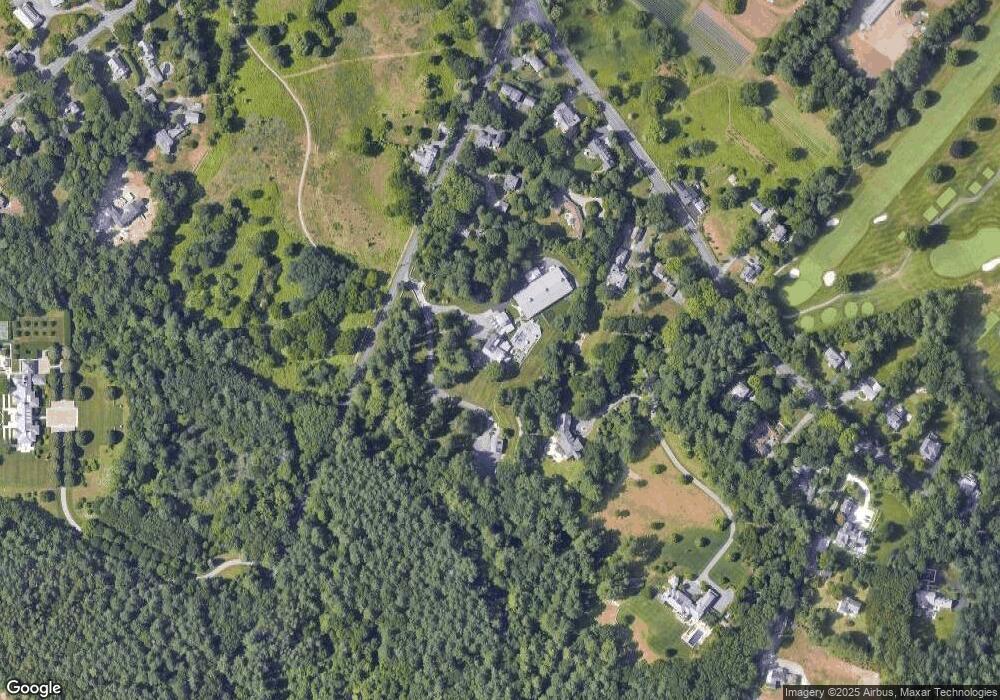
Map
Nearby Homes
Your Personal Tour Guide
Ask me questions while you tour the home.