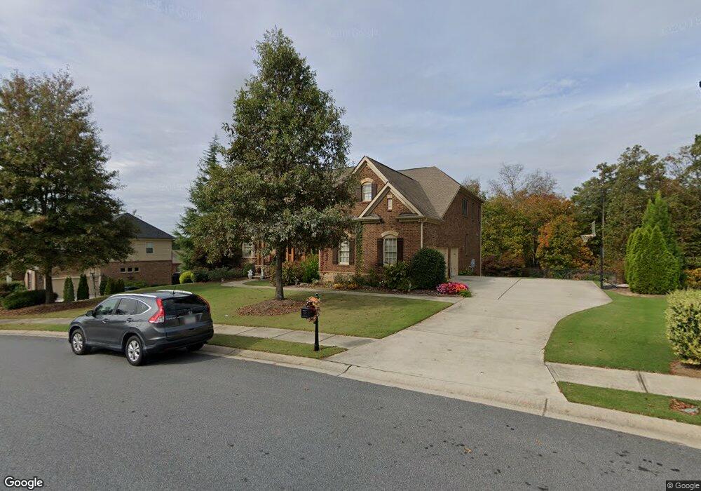
211 Big Rock Way Woodstock, GA 30188
Estimated Value: $1,115,711 - $1,161,000
4
Beds
5
Baths
5,468
Sq Ft
$208/Sq Ft
Est. Value
About This Home
This home is located at 211 Big Rock Way, Woodstock, GA 30188 and is currently estimated at $1,138,356, approximately $208 per square foot. 211 Big Rock Way is a home located in Cherokee County with nearby schools including Woodstock Elementary School, Woodstock Middle School, and Woodstock High School.
Ownership History
Date
Name
Owned For
Owner Type
Purchase Details
Closed on
Dec 2, 2010
Sold by
Toll Ga Lp
Bought by
Parodi Todd and Parodi Lisa M
Current Estimated Value
Home Financials for this Owner
Home Financials are based on the most recent Mortgage that was taken out on this home.
Original Mortgage
$300,000
Outstanding Balance
$6,487
Interest Rate
3.71%
Mortgage Type
New Conventional
Estimated Equity
$1,131,869
Create a Home Valuation Report for This Property
The Home Valuation Report is an in-depth analysis detailing your home's value as well as a comparison with similar homes in the area
Home Values in the Area
Average Home Value in this Area
Purchase History
| Date | Buyer | Sale Price | Title Company |
|---|---|---|---|
| Parodi Todd | $450,000 | -- |
Source: Public Records
Mortgage History
| Date | Status | Borrower | Loan Amount |
|---|---|---|---|
| Open | Parodi Todd | $300,000 |
Source: Public Records
Tax History Compared to Growth
Tax History
| Year | Tax Paid | Tax Assessment Tax Assessment Total Assessment is a certain percentage of the fair market value that is determined by local assessors to be the total taxable value of land and additions on the property. | Land | Improvement |
|---|---|---|---|---|
| 2024 | $11,308 | $484,640 | $68,000 | $416,640 |
| 2023 | $1,237 | $463,920 | $68,000 | $395,920 |
| 2022 | $9,342 | $365,280 | $52,000 | $313,280 |
| 2021 | $7,368 | $307,600 | $42,000 | $265,600 |
| 2020 | $8,955 | $297,120 | $40,000 | $257,120 |
| 2019 | $7,289 | $303,680 | $40,000 | $263,680 |
| 2018 | $7,005 | $287,320 | $40,000 | $247,320 |
| 2017 | $6,865 | $694,500 | $40,000 | $237,800 |
| 2016 | $6,725 | $670,200 | $38,000 | $230,080 |
| 2015 | $6,469 | $622,900 | $38,000 | $211,160 |
| 2014 | $6,050 | $581,200 | $38,000 | $194,480 |
Source: Public Records
Map
Nearby Homes
- 300 Brownhill Ct
- 213 Big Rock Way
- 204 Big Rock Way
- 302 Brownhill Ct
- 0 Brownhill Ct Unit 7036184
- 0 Brownhill Ct Unit 8583118
- 0 Brownhill Ct Unit 8216526
- 0 Brownhill Ct Unit 7591324
- 0 Brownhill Ct Unit 7386367
- 0 Brownhill Ct Unit 7317171
- 0 Brownhill Ct Unit 3210208
- 0 Brownhill Ct
- 215 Big Rock Way
- 206 Big Rock Way
- 202 Big Rock Way
- 205 Big Rock Way
- 303 Brownhill Ct
- 304 Brownhill Ct
- 208 Big Rock Way
- 217 Big Rock Way