211 Bluebird Way Front Royal, VA 22630
Estimated Value: $368,000 - $394,000
3
Beds
2
Baths
1,132
Sq Ft
$337/Sq Ft
Est. Value
About This Home
This home is located at 211 Bluebird Way, Front Royal, VA 22630 and is currently estimated at $381,967, approximately $337 per square foot. 211 Bluebird Way is a home located in Warren County with nearby schools including Ressie Jeffries Elementary School and Warren County High School.
Ownership History
Date
Name
Owned For
Owner Type
Purchase Details
Closed on
Mar 22, 2013
Sold by
Holland Timothy E and Stapleton Patricia
Bought by
Holland Timothy E
Current Estimated Value
Home Financials for this Owner
Home Financials are based on the most recent Mortgage that was taken out on this home.
Original Mortgage
$226,364
Outstanding Balance
$161,250
Interest Rate
3.75%
Mortgage Type
VA
Estimated Equity
$220,717
Purchase Details
Closed on
Jun 15, 2005
Sold by
Mitchell Lonnie K and Mitchell Teresa K
Bought by
Holland Timothy E
Home Financials for this Owner
Home Financials are based on the most recent Mortgage that was taken out on this home.
Original Mortgage
$255,272
Interest Rate
5.87%
Mortgage Type
VA
Create a Home Valuation Report for This Property
The Home Valuation Report is an in-depth analysis detailing your home's value as well as a comparison with similar homes in the area
Home Values in the Area
Average Home Value in this Area
Purchase History
| Date | Buyer | Sale Price | Title Company |
|---|---|---|---|
| Holland Timothy E | -- | None Available | |
| Holland Timothy E | $249,900 | -- | |
| Holland Timothy E | $249,900 | -- |
Source: Public Records
Mortgage History
| Date | Status | Borrower | Loan Amount |
|---|---|---|---|
| Open | Holland Timothy E | $226,364 | |
| Previous Owner | Holland Timothy E | $255,272 |
Source: Public Records
Tax History Compared to Growth
Tax History
| Year | Tax Paid | Tax Assessment Tax Assessment Total Assessment is a certain percentage of the fair market value that is determined by local assessors to be the total taxable value of land and additions on the property. | Land | Improvement |
|---|---|---|---|---|
| 2025 | $1,621 | $338,400 | $46,000 | $292,400 |
| 2024 | $1,586 | $299,300 | $46,000 | $253,300 |
| 2023 | $1,467 | $299,300 | $46,000 | $253,300 |
| 2022 | $1,380 | $210,700 | $40,000 | $170,700 |
| 2021 | $1,380 | $210,700 | $40,000 | $170,700 |
| 2020 | $1,380 | $210,700 | $40,000 | $170,700 |
| 2019 | $1,380 | $210,700 | $40,000 | $170,700 |
| 2018 | $1,207 | $182,900 | $40,000 | $142,900 |
| 2017 | $1,189 | $182,900 | $40,000 | $142,900 |
| 2016 | $1,134 | $182,900 | $40,000 | $142,900 |
| 2015 | -- | $182,900 | $40,000 | $142,900 |
| 2014 | -- | $160,000 | $30,000 | $130,000 |
Source: Public Records
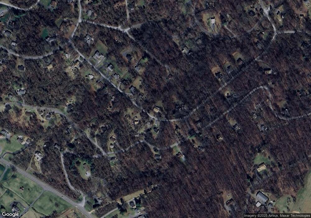
Map
Nearby Homes
- 66 Bluejay Ct
- 14 Summit Point Dr
- 3938 Remount Rd
- 0 Panoramic Ln
- 00 Corner of Brooklyn Road and Summit Point Dr
- 00 Hickory Tree Rd
- 126 Locust Tree Ln
- 175 Mountain Heights Rd
- 8 Creek Rd
- 1073 Mountain Heights Rd
- 37 and 41 Headwaters Rd
- 1170 Highridge Rd
- 0 High Top Rd Unit VAWR2012734
- 7 Red Haven Ln
- 0 0 Unit VARP2002068
- 46 Rock Ridge Ln
- 0 Apache Trail Unit VARP2001638
- Lot 29 Split Rail Rd
- 0 Wapping Farm #Lot 6 Rd Unit VAWR2012042
- 689 Windy Way
- 287 Bluebird Way
- 167 Bluebird Way
- 200 Bluebird Way
- 222 Bluebird Way
- 194 Blackbird Way
- 343 Summit Point Dr
- 184 Bluebird Way
- 149 Bluebird Way
- 174 Bluebird Way
- 391 Summit Point Dr
- 327 Bluebird Way
- 367 Summit Ave
- 129 Bluebird Way
- 0 Bluebird Way
- 427 Summit Point Dr
- 118 Bluebird Way
- 118 Bluebird Way
- 142 Blackbird Way
- 328 Summit Point Dr
- 109 Bluebird Way