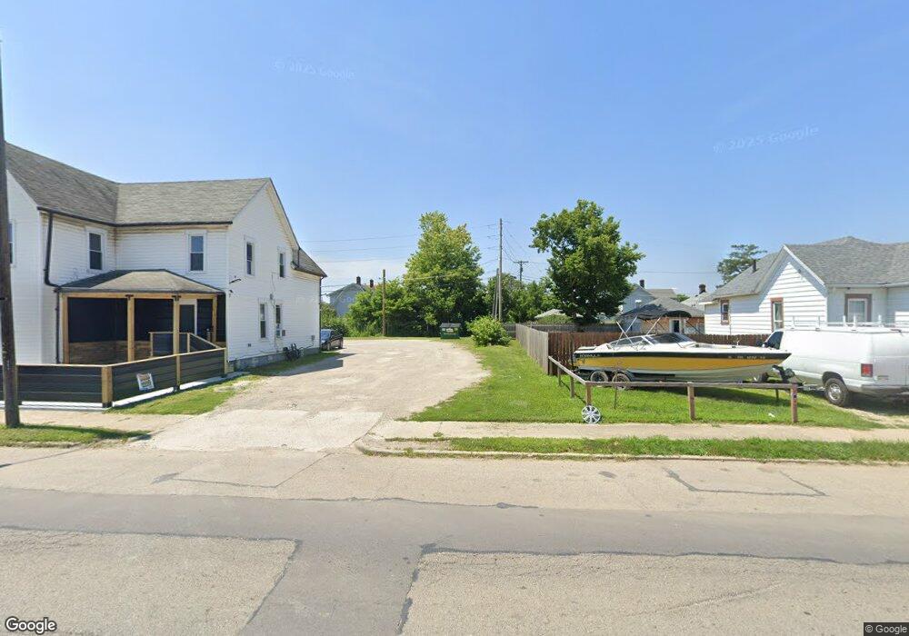
211 Brandt St Dayton, OH 45404
Old North Dayton NeighborhoodEstimated Value: $123,000
3
Beds
1
Bath
1,394
Sq Ft
$88/Sq Ft
Est. Value
About This Home
This home is located at 211 Brandt St, Dayton, OH 45404 and is currently estimated at $123,000, approximately $88 per square foot. 211 Brandt St is a home located in Montgomery County with nearby schools including Kiser Elementary, Ruskin Elementary School, and Pathway School of Discovery.
Ownership History
Date
Name
Owned For
Owner Type
Purchase Details
Closed on
Feb 25, 2019
Sold by
Montgomery County Land Reutilization Cor
Bought by
Guthrie Betty L
Current Estimated Value
Purchase Details
Closed on
May 1, 2017
Sold by
Bystrek John W and Bystrek John Wayne
Bought by
Montgomery County Land Reutilization Cor
Purchase Details
Closed on
Jan 31, 2002
Sold by
Walters Lloyd K
Bought by
Bystrek John W
Purchase Details
Closed on
Jan 4, 2002
Sold by
Walters Lloyd K
Bought by
Bystrek John W
Create a Home Valuation Report for This Property
The Home Valuation Report is an in-depth analysis detailing your home's value as well as a comparison with similar homes in the area
Home Values in the Area
Average Home Value in this Area
Purchase History
| Date | Buyer | Sale Price | Title Company |
|---|---|---|---|
| Guthrie Betty L | -- | None Available | |
| Montgomery County Land Reutilization Cor | -- | None Available | |
| Bystrek John W | $5,700 | -- | |
| Bystrek John W | $5,700 | -- |
Source: Public Records
Tax History Compared to Growth
Tax History
| Year | Tax Paid | Tax Assessment Tax Assessment Total Assessment is a certain percentage of the fair market value that is determined by local assessors to be the total taxable value of land and additions on the property. | Land | Improvement |
|---|---|---|---|---|
| 2024 | $32 | $540 | $540 | -- |
| 2023 | $32 | $540 | $540 | $0 |
| 2022 | $53 | $420 | $420 | $0 |
| 2021 | $53 | $420 | $420 | $0 |
| 2020 | $53 | $420 | $420 | $0 |
| 2019 | $70 | $1,880 | $1,880 | $0 |
| 2018 | $332 | $6,680 | $1,880 | $4,800 |
| 2017 | $345 | $6,680 | $1,880 | $4,800 |
| 2016 | $909 | $6,500 | $1,880 | $4,620 |
| 2015 | $538 | $6,500 | $1,880 | $4,620 |
| 2014 | $538 | $6,500 | $1,880 | $4,620 |
| 2012 | -- | $12,490 | $4,260 | $8,230 |
Source: Public Records
Map
Nearby Homes
- 1083 Valley St
- 1304 Valley St
- 544 Brandt St
- 175 Rita St
- 304 Alaska St
- 129 Rita St
- 240 Alaska St
- 1020 Saint Adelbert Ave
- 233 Alton Ave
- 188 Alton Ave
- 1815 Warner Ave
- 111 Alaska St
- 159 Alton Ave Unit 157
- 144 Alton Ave
- 70 Baltimore St
- 96 Notre Dame Ave
- 260 Grove Ave
- 82 Notre Dame Ave
- 36 Baltimore St
- 329 Grove Ave
- 201 Brandt St
- 217 Brandt St
- 2056 Stegman Ave
- 2077 Stanview Ave
- 307 Brandt St
- 119 Brandt St
- 206 Brandt St Unit 208
- 206 Brandt St
- 2073 Stanview Ave
- 2074 Stanview Ave
- 218 Brandt St
- 113 Brandt St
- 2069 Stanview Ave
- 2044 Stegman Ave
- 115 Brandt St
- 115 Brandt St Unit A
- 306 Brandt St
- 2055 Stegman Ave
- 2065 Stanview Ave
- 311 Brandt St