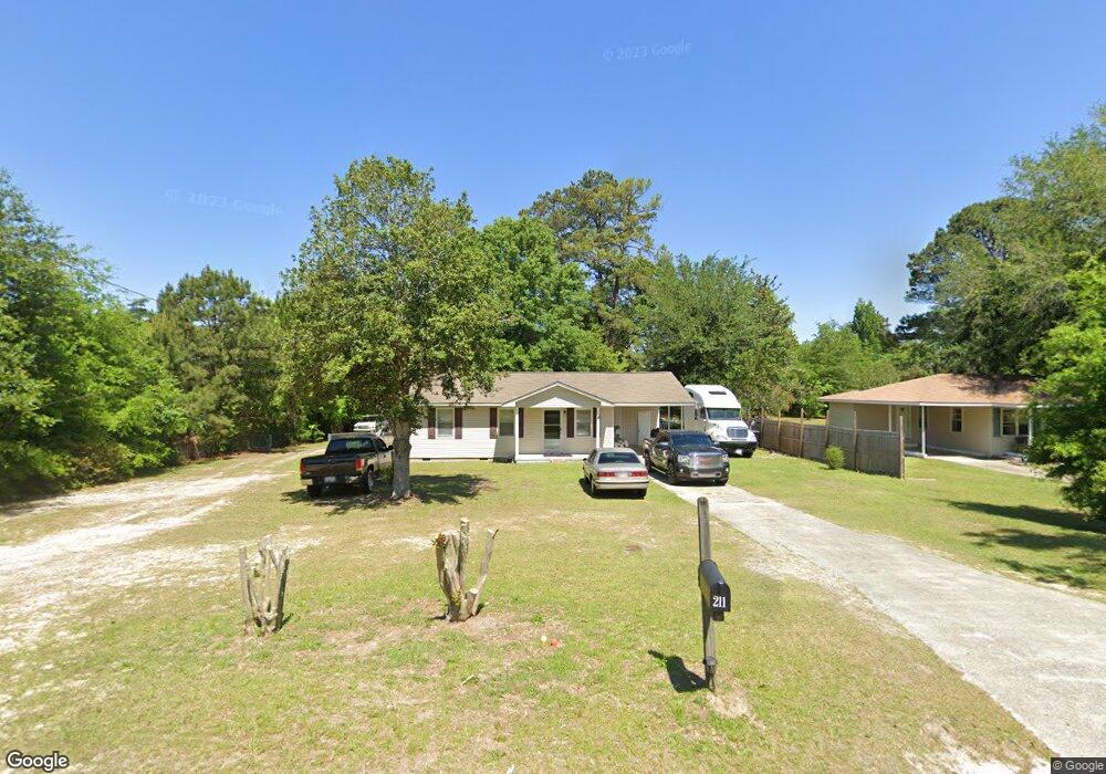
211 Broad St East Dublin, GA 31027
Estimated Value: $79,000 - $189,000
Studio
2
Baths
1,252
Sq Ft
$99/Sq Ft
Est. Value
About This Home
This home is located at 211 Broad St, East Dublin, GA 31027 and is currently estimated at $124,568, approximately $99 per square foot. 211 Broad St is a home located in Laurens County with nearby schools including Northwest Laurens Elementary School, Southwest Laurens Elementary School, and East Laurens Primary School.
Ownership History
Date
Name
Owned For
Owner Type
Purchase Details
Closed on
Feb 5, 2021
Sold by
Tas Farms Llc
Bought by
Pleasant Springs Llc
Current Estimated Value
Purchase Details
Closed on
Mar 14, 2017
Sold by
Soles Thomas Al
Bought by
Tas Farms Llc
Home Financials for this Owner
Home Financials are based on the most recent Mortgage that was taken out on this home.
Original Mortgage
$22,913
Interest Rate
4.15%
Mortgage Type
New Conventional
Purchase Details
Closed on
Aug 13, 2015
Sold by
Soles Aaron Blake
Bought by
Soles Thomas Al
Purchase Details
Closed on
Apr 8, 2011
Sold by
Logue Acie William and Estate Of Willie Pearl Logue
Bought by
Soles Thomas Al and Soles Aaron Blake
Purchase Details
Closed on
Sep 9, 1909
Bought by
Logue Wille Pearl
Create a Home Valuation Report for This Property
The Home Valuation Report is an in-depth analysis detailing your home's value as well as a comparison with similar homes in the area
Home Values in the Area
Average Home Value in this Area
Purchase History
| Date | Buyer | Sale Price | Title Company |
|---|---|---|---|
| Pleasant Springs Llc | $153,503 | -- | |
| Tas Farms Llc | -- | -- | |
| Soles Thomas Al | -- | -- | |
| Soles Thomas Al | $30,000 | -- | |
| Logue Wille Pearl | -- | -- |
Source: Public Records
Mortgage History
| Date | Status | Borrower | Loan Amount |
|---|---|---|---|
| Previous Owner | Tas Farms Llc | $22,913 |
Source: Public Records
Tax History Compared to Growth
Tax History
| Year | Tax Paid | Tax Assessment Tax Assessment Total Assessment is a certain percentage of the fair market value that is determined by local assessors to be the total taxable value of land and additions on the property. | Land | Improvement |
|---|---|---|---|---|
| 2024 | $520 | $19,951 | $3,054 | $16,897 |
| 2023 | $476 | $18,646 | $3,054 | $15,592 |
| 2022 | $396 | $18,646 | $3,054 | $15,592 |
| 2021 | $349 | $15,999 | $2,300 | $13,699 |
| 2020 | $349 | $15,999 | $2,300 | $13,699 |
| 2019 | $349 | $15,999 | $2,300 | $13,699 |
| 2018 | $350 | $15,999 | $2,300 | $13,699 |
| 2017 | $350 | $15,999 | $2,300 | $13,699 |
| 2016 | $350 | $15,999 | $2,300 | $13,699 |
| 2015 | $350 | $15,999 | $2,300 | $13,699 |
| 2014 | $296 | $13,205 | $2,000 | $11,205 |
Source: Public Records
Map
Nearby Homes
- 134 Sunset Dr
- 110 Pinecone Dr
- 121 Coleman Ave
- 210 Savannah Ave
- 0 Clover St Unit LOT 24 AND 25
- 203 Pineview St
- 102 Circle Dr
- 121 S Elm St
- 1490 N Hwy 319
- 0 Glen Dr Unit 10611113
- 0 Glen Dr Unit 30351
- 0 Glen Dr Unit 10611123
- 0 Glen Dr Unit 30353
- 132 Rex Miller Rd
- 00 Gateway Dr
- 315 Bradley Ct
- 237 Rex Miller Rd
- 0 Hillcrest Dr Unit 22383
- 335 Windsong Dr
- LOT 4 Wind Song Dr