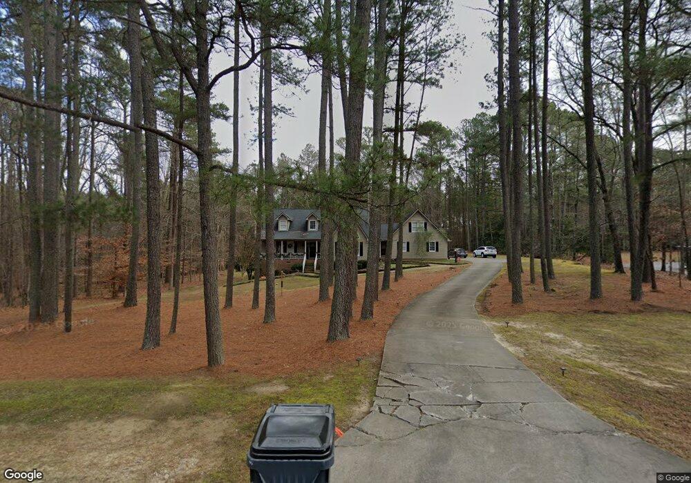
211 Burning Tree Dr Henderson, NC 27537
Estimated Value: $353,000 - $484,000
About This Home
This home is located at 211 Burning Tree Dr, Henderson, NC 27537 and is currently estimated at $433,471, approximately $154 per square foot. 211 Burning Tree Dr is a home located in Vance County with nearby schools including Dabney Elementary School, Vance County High School, and Kerr-Vance Academy.
Ownership History
We collect this data history from publicly available records. To have your information removed, we recommend requesting removal directly through your county’s website.
Purchase Details
Purchase Details
Home Financials for this Owner
Home Financials are based on the most recent Mortgage that was taken out on this home.Purchase Details
Home Financials for this Owner
Home Financials are based on the most recent Mortgage that was taken out on this home.Purchase History
We collect this data history from publicly available records. To have your information removed, we recommend requesting removal directly through your county’s website.
| Date | Buyer | Sale Price | Title Company |
|---|---|---|---|
| $395,000 | -- | ||
| $210,000 | -- | ||
| $248,000 | -- |
Mortgage History
We collect this data history from publicly available records. To have your information removed, we recommend requesting removal directly through your county’s website.
| Date | Status | Borrower | Loan Amount |
|---|---|---|---|
| Previous Owner | $168,000 | ||
| Previous Owner | $125,000 |
Tax History
We collect this data history from publicly available records. To have your information removed, we recommend requesting removal directly through your county’s website.
| Year | Tax Paid | Tax Assessment Tax Assessment Total Assessment is a certain percentage of the fair market value that is determined by local assessors to be the total taxable value of land and additions on the property. | Land | Improvement |
|---|---|---|---|---|
| 2025 | $2,173 | $342,666 | $23,760 | $318,906 |
| 2024 | $2,808 | $342,666 | $23,760 | $318,906 |
| 2023 | $2,081 | $200,341 | $20,000 | $180,341 |
| 2022 | $2,113 | $200,341 | $20,000 | $180,341 |
| 2021 | $1,961 | $200,341 | $20,000 | $180,341 |
| 2020 | $2,113 | $200,341 | $20,000 | $180,341 |
| 2019 | $2,110 | $200,341 | $20,000 | $180,341 |
| 2018 | $1,871 | $200,341 | $20,000 | $180,341 |
| 2017 | $1,976 | $200,341 | $20,000 | $180,341 |
| 2016 | $1,976 | $200,341 | $20,000 | $180,341 |
| 2015 | $1,958 | $258,380 | $55,000 | $203,380 |
| 2014 | $2,255 | $258,472 | $55,000 | $203,472 |
Map
- 84 Wintergreen Rd
- 0 Us Hwy 158 Hwy Unit CAR4105253
- 1.21 Turner Ln
- 84 Weybossett Rd
- 2045 Fernwood Way
- 206 Beechwood Trail
- 29 W Waycliff Rd
- 1 Lakeside Dr
- 2111 Coleman Place
- 737 Lakeview Dr
- 122 Watson Dr
- 3525 Old County Home Rd
- 1842 Lynne Ave
- 00 Oxford Rd Southern Ave Rd
- 1209 Anne St
- 1277 David Ave
- 114 Dorsey Place
- 1602 Peace St
- 1249 Oakridge Ave
- 1231 David Ave
- 245 Burning Tree Dr
- Lot 36 - 3 Burning Tree Dr
- Lot 38 - 3 Burning Tree Dr
- Lot 35 Burning Tree Dr
- Lot 34 Burning Tree Dr
- Lot 33 Burning Tree Dr
- 0 Burning Tree Dr
- 35 Wintergreen Rd
- 248 Burning Tree Dr
- 42 Wintergreen Rd
- 267 Burning Tree Dr
- 290 Burning Tree Dr
- 97 Burning Tree Dr
- 69 Wintergreen Rd
- 66 Wintergreen Rd
- 305 Burning Tree Dr
- Lot 38 - 39R Burning Tree Ln
- 1.32 Acre Southerland Place
- 1.35 Acre Southerland Place
- 1.98 Acre Southerland Place
Ask me questions while you tour the home.