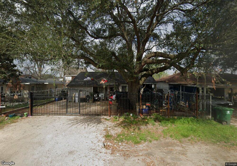
211 Burress St Houston, TX 77022
Northside-Northline NeighborhoodEstimated Value: $272,000 - $497,000
4
Beds
3
Baths
2,679
Sq Ft
$133/Sq Ft
Est. Value
About This Home
This home is located at 211 Burress St, Houston, TX 77022 and is currently estimated at $356,134, approximately $132 per square foot. 211 Burress St is a home located in Harris County with nearby schools including Burbank Elementary School, Burbank Middle School, and Sam Houston Math, Science & Technology Center.
Ownership History
Date
Name
Owned For
Owner Type
Purchase Details
Closed on
Dec 4, 2024
Sold by
Braunagel Anthony M
Bought by
Anthony Braunagel 2024 Trust and Braunagel
Current Estimated Value
Purchase Details
Closed on
Jun 2, 1999
Sold by
Braunagel Albert J and Braunagel Johanna L
Bought by
Braunagel Anthony M and Braunagel Timothy A
Create a Home Valuation Report for This Property
The Home Valuation Report is an in-depth analysis detailing your home's value as well as a comparison with similar homes in the area
Home Values in the Area
Average Home Value in this Area
Purchase History
| Date | Buyer | Sale Price | Title Company |
|---|---|---|---|
| Anthony Braunagel 2024 Trust | -- | None Listed On Document | |
| Braunagel Anthony M | -- | -- |
Source: Public Records
Tax History Compared to Growth
Tax History
| Year | Tax Paid | Tax Assessment Tax Assessment Total Assessment is a certain percentage of the fair market value that is determined by local assessors to be the total taxable value of land and additions on the property. | Land | Improvement |
|---|---|---|---|---|
| 2025 | $1,904 | $362,254 | $260,840 | $101,414 |
| 2024 | $1,904 | $375,320 | $260,840 | $114,480 |
| 2023 | $1,671 | $375,320 | $260,840 | $114,480 |
| 2022 | $4,250 | $193,907 | $130,420 | $63,487 |
| 2021 | $4,089 | $193,907 | $130,420 | $63,487 |
| 2020 | $3,862 | $240,995 | $130,420 | $110,575 |
| 2019 | $3,669 | $145,000 | $81,513 | $63,487 |
| 2018 | $3,159 | $160,000 | $81,513 | $78,487 |
| 2017 | $4,046 | $204,697 | $81,513 | $123,184 |
| 2016 | $4,046 | $160,000 | $81,513 | $78,487 |
| 2015 | $3,585 | $160,000 | $81,513 | $78,487 |
| 2014 | $3,585 | $139,447 | $32,605 | $106,842 |
Source: Public Records
Map
Nearby Homes
- 216 Burress St
- 249 De Boll St
- 253 De Boll St
- 108 Fichter St
- 318 Charlock St
- 132 Grothe Ln
- 90 Burress St Unit B
- 90 Burress St Unit A
- 70 Burress St
- 202 Burbank St
- 9026 Mcgallion Rd
- 61 Trenwood Ln
- 411 Berry Rd
- 56 Wellford St
- 44 Farrell St
- 45 Wellford St
- 219 Heaney Dr
- 9625 Fulton St
- 702 Pennington St
- 88 Berry Rd