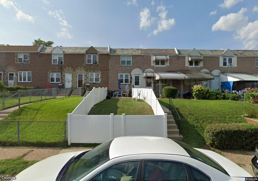
211 Cambridge Rd Clifton Heights, PA 19018
Estimated Value: $202,731 - $227,000
3
Beds
1
Bath
1,152
Sq Ft
$187/Sq Ft
Est. Value
About This Home
This home is located at 211 Cambridge Rd, Clifton Heights, PA 19018 and is currently estimated at $215,183, approximately $186 per square foot. 211 Cambridge Rd is a home located in Delaware County with nearby schools including Primos El School, Drexel Hill Middle School, and Upper Darby High School.
Ownership History
Date
Name
Owned For
Owner Type
Purchase Details
Closed on
Feb 15, 2002
Sold by
Zeller Michael
Bought by
Zeller David J
Current Estimated Value
Home Financials for this Owner
Home Financials are based on the most recent Mortgage that was taken out on this home.
Original Mortgage
$70,810
Interest Rate
6.57%
Purchase Details
Closed on
Apr 27, 1998
Sold by
Oaster Patricia and Oaster Jeffrey N
Bought by
Zeller Michael
Purchase Details
Closed on
Jul 1, 1996
Sold by
Santella Michael J and Santella Rita A
Bought by
Oaster Patricia and Oaster Jeffrey M
Home Financials for this Owner
Home Financials are based on the most recent Mortgage that was taken out on this home.
Original Mortgage
$69,750
Interest Rate
7.98%
Create a Home Valuation Report for This Property
The Home Valuation Report is an in-depth analysis detailing your home's value as well as a comparison with similar homes in the area
Home Values in the Area
Average Home Value in this Area
Purchase History
| Date | Buyer | Sale Price | Title Company |
|---|---|---|---|
| Zeller David J | $73,000 | -- | |
| Zeller Michael | -- | -- | |
| Oaster Patricia | $70,000 | Commonwealth Land Title Ins |
Source: Public Records
Mortgage History
| Date | Status | Borrower | Loan Amount |
|---|---|---|---|
| Closed | Zeller David J | $70,810 | |
| Closed | Oaster Patricia | $69,750 |
Source: Public Records
Tax History Compared to Growth
Tax History
| Year | Tax Paid | Tax Assessment Tax Assessment Total Assessment is a certain percentage of the fair market value that is determined by local assessors to be the total taxable value of land and additions on the property. | Land | Improvement |
|---|---|---|---|---|
| 2025 | $3,312 | $83,840 | $31,000 | $52,840 |
| 2024 | $3,312 | $83,840 | $31,000 | $52,840 |
| 2023 | $3,279 | $83,840 | $31,000 | $52,840 |
| 2022 | $3,258 | $83,840 | $31,000 | $52,840 |
| 2021 | $4,449 | $83,840 | $31,000 | $52,840 |
| 2020 | $4,056 | $68,970 | $23,840 | $45,130 |
| 2019 | $4,007 | $68,970 | $23,840 | $45,130 |
| 2018 | $3,888 | $68,970 | $0 | $0 |
| 2017 | $3,815 | $68,970 | $0 | $0 |
| 2016 | $379 | $68,970 | $0 | $0 |
| 2015 | $379 | $68,970 | $0 | $0 |
| 2014 | $379 | $68,970 | $0 | $0 |
Source: Public Records
Map
Nearby Homes
- 201 Cambridge Rd
- 230 W Washington Ave
- 232 W Washington Ave
- 45 S Sycamore Ave
- 266 W Washington Ave
- 126 N Church St
- 82 N Sycamore Ave
- 9 Harrison Ave
- 309 S Oak Ave
- 426 S Church St
- 36 E Washington Ave
- 120 N Diamond St
- 126 Academy Rd
- 125 Alverstone Rd
- 141 Alverstone Rd
- 117 E Washington Ave
- 39 W Madison Ave
- 514 Chester Ave
- 144 Alverstone Rd
- 60 N Penn St
- 213 Cambridge Rd
- 209 Cambridge Rd
- 215 Cambridge Rd
- 217 Cambridge Rd
- 221 Cambridge Rd
- 219 Cambridge Rd
- 203 Cambridge Rd
- 223 Cambridge Rd
- 225 Cambridge Rd
- 227 Cambridge Rd
- 229 Cambridge Rd
- 226 W Baltimore Pike
- 226 W Baltimore Ave Unit 2
- 226 W Baltimore Ave
- 226 W Baltimore Ave Unit 2
- 210 Cambridge Rd
- 212 Cambridge Rd
- 208 Cambridge Rd
- 206 Cambridge Rd
- 231 Cambridge Rd