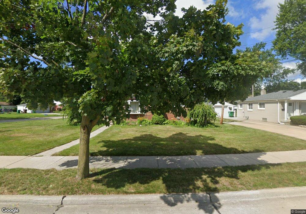
211 Clair St Garden City, MI 48135
Estimated Value: $196,000 - $220,000
--
Bed
1
Bath
1,001
Sq Ft
$211/Sq Ft
Est. Value
About This Home
This home is located at 211 Clair St, Garden City, MI 48135 and is currently estimated at $211,277, approximately $211 per square foot. 211 Clair St is a home located in Wayne County with nearby schools including Memorial Elementary 1-2 Campus, Douglas Elementary 3-4 Campus, and Farmington 5-6 Campus.
Ownership History
Date
Name
Owned For
Owner Type
Purchase Details
Closed on
May 18, 2021
Sold by
Frederick Daniela A
Bought by
Frederick Randall V
Current Estimated Value
Home Financials for this Owner
Home Financials are based on the most recent Mortgage that was taken out on this home.
Original Mortgage
$122,400
Outstanding Balance
$110,925
Interest Rate
3.1%
Mortgage Type
New Conventional
Estimated Equity
$100,352
Purchase Details
Closed on
Sep 19, 1997
Sold by
Smith Kim M and Smith Laura
Bought by
Frederick Daniela A and Frederick Randall
Create a Home Valuation Report for This Property
The Home Valuation Report is an in-depth analysis detailing your home's value as well as a comparison with similar homes in the area
Home Values in the Area
Average Home Value in this Area
Purchase History
| Date | Buyer | Sale Price | Title Company |
|---|---|---|---|
| Frederick Randall V | -- | Embassy Title | |
| Frederick Daniela A | $95,000 | -- |
Source: Public Records
Mortgage History
| Date | Status | Borrower | Loan Amount |
|---|---|---|---|
| Open | Frederick Randall V | $122,400 |
Source: Public Records
Tax History Compared to Growth
Tax History
| Year | Tax Paid | Tax Assessment Tax Assessment Total Assessment is a certain percentage of the fair market value that is determined by local assessors to be the total taxable value of land and additions on the property. | Land | Improvement |
|---|---|---|---|---|
| 2025 | $3,470 | $100,300 | $0 | $0 |
| 2024 | $3,470 | $92,800 | $0 | $0 |
| 2023 | $3,132 | $81,600 | $0 | $0 |
| 2022 | $3,421 | $75,900 | $0 | $0 |
| 2021 | $7,625 | $73,500 | $0 | $0 |
| 2020 | $2,912 | $69,600 | $0 | $0 |
| 2019 | $2,395 | $61,300 | $0 | $0 |
| 2018 | $2,129 | $51,500 | $0 | $0 |
| 2017 | $684 | $48,700 | $0 | $0 |
| 2016 | $2,417 | $48,200 | $0 | $0 |
| 2015 | $4,318 | $47,000 | $0 | $0 |
| 2013 | $4,240 | $43,200 | $0 | $0 |
| 2012 | $2,242 | $44,900 | $17,300 | $27,600 |
Source: Public Records
Map
Nearby Homes
- 30414 Cherry Hill Rd
- 489 Henry Ruff Rd
- 577 Brandt St
- 30639 Florence St
- 29487 Florence St
- 329 Shotka St
- 30806 Fernwood St
- 30901 Cherry Hill Rd
- 30915 Cherry Hill Rd
- 724 Clair St
- 1125 Brandt St
- 29760 Birchwood St
- 30808 Sheridan St
- 30931 Fernwood St
- 29643 Steinhauer St
- 30822 Steinhauer St
- 29031 Rosslyn Ave
- 29942 Avondale St
- 29522 Grandview St
- 28999 Beechnut St