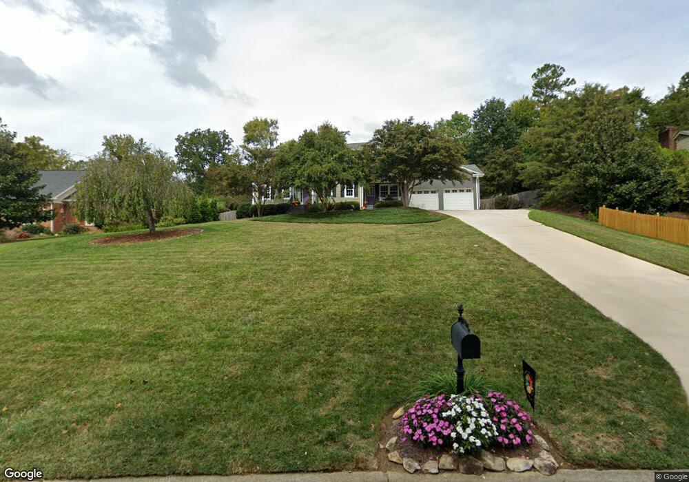
211 Cloverbrook Dr Jamestown, NC 27282
Estimated Value: $362,000 - $413,000
4
Beds
3
Baths
2,416
Sq Ft
$161/Sq Ft
Est. Value
About This Home
This home is located at 211 Cloverbrook Dr, Jamestown, NC 27282 and is currently estimated at $389,070, approximately $161 per square foot. 211 Cloverbrook Dr is a home located in Guilford County with nearby schools including Jamestown Elementary School, Jamestown Middle School, and Ragsdale High School.
Ownership History
Date
Name
Owned For
Owner Type
Purchase Details
Closed on
Feb 16, 2001
Sold by
Leininger David E and Leininger Christie E
Bought by
Callicutt Dew David Lee and Callicutt Dew Anne Marie
Current Estimated Value
Home Financials for this Owner
Home Financials are based on the most recent Mortgage that was taken out on this home.
Original Mortgage
$149,400
Outstanding Balance
$53,763
Interest Rate
7.03%
Estimated Equity
$335,307
Create a Home Valuation Report for This Property
The Home Valuation Report is an in-depth analysis detailing your home's value as well as a comparison with similar homes in the area
Home Values in the Area
Average Home Value in this Area
Purchase History
| Date | Buyer | Sale Price | Title Company |
|---|---|---|---|
| Callicutt Dew David Lee | $166,000 | -- |
Source: Public Records
Mortgage History
| Date | Status | Borrower | Loan Amount |
|---|---|---|---|
| Open | Callicutt Dew David Lee | $149,400 |
Source: Public Records
Tax History
| Year | Tax Paid | Tax Assessment Tax Assessment Total Assessment is a certain percentage of the fair market value that is determined by local assessors to be the total taxable value of land and additions on the property. | Land | Improvement |
|---|---|---|---|---|
| 2025 | $3,610 | $266,300 | $40,000 | $226,300 |
| 2024 | $3,610 | $266,300 | $40,000 | $226,300 |
| 2023 | $3,610 | $266,300 | $40,000 | $226,300 |
| 2022 | $3,237 | $266,300 | $40,000 | $226,300 |
| 2021 | $2,368 | $194,800 | $38,000 | $156,800 |
| 2020 | $2,368 | $194,800 | $38,000 | $156,800 |
| 2019 | $2,335 | $194,800 | $0 | $0 |
| 2018 | $2,323 | $194,800 | $0 | $0 |
| 2017 | $2,335 | $194,800 | $0 | $0 |
| 2016 | $2,200 | $181,800 | $0 | $0 |
| 2015 | $2,209 | $181,800 | $0 | $0 |
| 2014 | $2,227 | $181,800 | $0 | $0 |
Source: Public Records
Map
Nearby Homes
- 120 Brookberry Dr
- 201 Ragsdale Rd
- 105 Winrow Dr
- 117 Village Dr
- 111 Forestdale Dr
- 105 Forestdale Dr
- 100 Lennox Dr Unit 2C
- 113 Red Plum Ln
- 1217 Lakeview Heights Dr
- 103 Chimney
- 306 Misty Waters Ln
- 904 Fairidge Dr
- 202 Mary Montrose Blvd
- 105 Lauder Trace
- 504 Nassco Place
- 103 Lauder Trace
- 508 Nassco Place
- 300 Sefton Dr
- 102 Lauder Trace
- 506 Nassco Place
- 213 Cloverbrook Dr
- 209 Cloverbrook Dr
- 205 Shadowlawn Dr
- 208 Cloverbrook Dr
- 215 Cloverbrook Dr
- 209 Shadowlawn Dr
- 206 Cloverbrook Dr
- 210 Cloverbrook Dr
- 203 Shadowlawn Dr
- 205 Cloverbrook Dr
- 217 Cloverbrook Dr
- 204 Cloverbrook Dr
- 210 Shadowlawn Dr
- 101 Cloverbrook Ct
- 212 Cloverbrook Dr
- 201 Shadowlawn Dr
- 208 Shadowlawn Dr
- 108 Ragsdale Ct
- 203 Cloverbrook Dr
- 202 Cloverbrook Dr
Your Personal Tour Guide
Ask me questions while you tour the home.