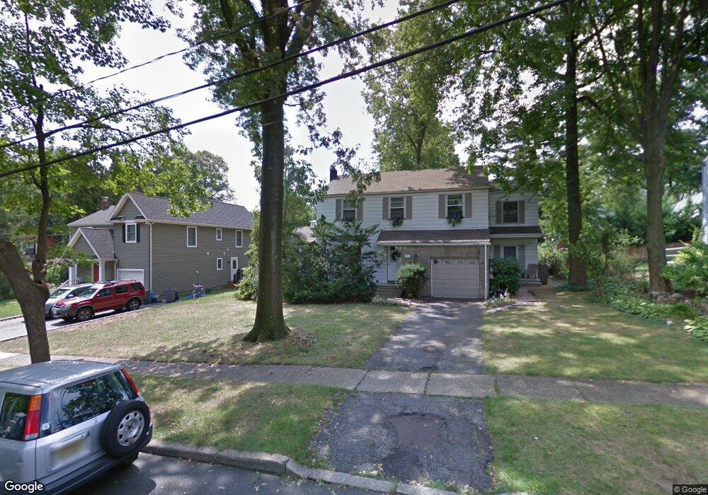
211 Concord Dr River Edge, NJ 07661
Estimated Value: $801,000 - $836,420
Studio
--
Bath
1,890
Sq Ft
$431/Sq Ft
Est. Value
About This Home
This home is located at 211 Concord Dr, River Edge, NJ 07661 and is currently estimated at $815,105, approximately $431 per square foot. 211 Concord Dr is a home located in Bergen County with nearby schools including Roosevelt Elementary School, River Dell Middle School, and River Dell Regional High School.
Ownership History
Date
Name
Owned For
Owner Type
Purchase Details
Closed on
Jun 26, 2025
Sold by
Mcveigh Dennis A and Mcveigh Patricia Sutley
Bought by
Mitchell William Mccoy and Mitchell Alyson Hoyt
Current Estimated Value
Home Financials for this Owner
Home Financials are based on the most recent Mortgage that was taken out on this home.
Original Mortgage
$620,000
Outstanding Balance
$618,950
Interest Rate
6.85%
Mortgage Type
New Conventional
Estimated Equity
$196,155
Create a Home Valuation Report for This Property
The Home Valuation Report is an in-depth analysis detailing your home's value as well as a comparison with similar homes in the area
Home Values in the Area
Average Home Value in this Area
Purchase History
| Date | Buyer | Sale Price | Title Company |
|---|---|---|---|
| Mitchell William Mccoy | $780,000 | First Jersey Title | |
| Mitchell William Mccoy | $780,000 | First Jersey Title |
Source: Public Records
Mortgage History
| Date | Status | Borrower | Loan Amount |
|---|---|---|---|
| Open | Mitchell William Mccoy | $620,000 | |
| Closed | Mitchell William Mccoy | $620,000 |
Source: Public Records
Tax History
| Year | Tax Paid | Tax Assessment Tax Assessment Total Assessment is a certain percentage of the fair market value that is determined by local assessors to be the total taxable value of land and additions on the property. | Land | Improvement |
|---|---|---|---|---|
| 2025 | $15,567 | $605,900 | $357,000 | $248,900 |
| 2024 | $15,178 | $392,600 | $225,800 | $166,800 |
| 2023 | $14,526 | $392,600 | $225,800 | $166,800 |
| 2022 | $14,526 | $392,600 | $225,800 | $166,800 |
| 2021 | $13,981 | $392,600 | $225,800 | $166,800 |
| 2020 | $14,016 | $392,600 | $225,800 | $166,800 |
| 2019 | $13,615 | $392,600 | $225,800 | $166,800 |
| 2018 | $13,329 | $392,600 | $225,800 | $166,800 |
| 2017 | $13,199 | $392,600 | $225,800 | $166,800 |
| 2016 | $12,901 | $392,600 | $225,800 | $166,800 |
| 2015 | $12,630 | $392,600 | $225,800 | $166,800 |
| 2014 | $12,654 | $392,600 | $225,800 | $166,800 |
Source: Public Records
Map
Nearby Homes
- 239 Greenway Terrace
- 212 Monroe Ave
- 215 Kensington Rd
- 117 Monroe Ave
- 457 the Fenway
- 378 Windsor Rd
- 374 Valley Rd
- 284 Continental Ave
- 285 Wayne Ave
- 409 Windsor Rd
- 302 Howland Ave
- 189 Forest Ave Unit 117
- 189 Forest Ave Unit 409
- 766 7th Ave
- 406 Kinderkamack Rd
- 765 7th Ave
- 784 Kinderkamack Rd Unit 101
- 12 Gainesborough Terrace Unit 1B
- 300 Spring Valley Rd
- 122 Village Cir E
- 219 Concord Dr
- 207 Concord Dr
- 212 Manning Ave
- 208 Manning Ave
- 216 Manning Ave
- 225 Concord Dr
- 199 Concord Dr
- 204 Manning Ave
- 220 Manning Ave
- 208 Concord Dr
- 220 Concord Dr
- 200 Manning Ave
- 231 Concord Dr
- 226 Concord Dr
- 200 Concord Dr
- 228 Manning Ave
- 232 Concord Dr
- 213 Greenway Terrace
- 237 Concord Dr
- 211 Manning Ave
Your Personal Tour Guide
Ask me questions while you tour the home.